
| Memorials | : | 0 |
| Location | : | Benton County, USA |
| Coordinate | : | 36.4557991, -94.0261002 |
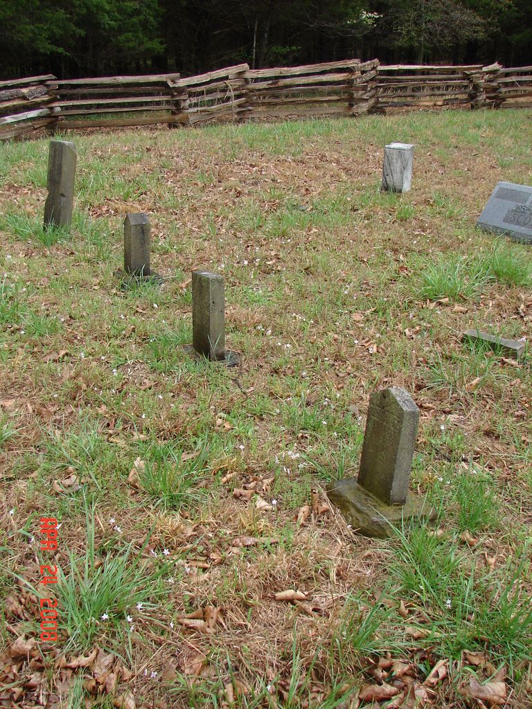
| Description | : | This cemetery is located on the grounds of the Pea Ridge National Military Park. The cemetery can not be accessed by car but is an easy walk from the Elkhorn Tavern. Park at Elkhorn Tavern and continue walking along the one way road in the direction you were driving. You will find a gravel road just past the tree line (the horse trail) on your right. Follow this road to the end of the tree line where you will find a road leading a short way to the fenced in cemetery on the right side of the trail. ... Read More |
frequently asked questions (FAQ):
-
Where is Ford Cemetery?
Ford Cemetery is located at on the grounds of the Pea Ridge National Military Park Benton County ,Arkansas ,USA.
-
Ford Cemetery cemetery's updated grave count on graveviews.com?
0 memorials
-
Where are the coordinates of the Ford Cemetery?
Latitude: 36.4557991
Longitude: -94.0261002

Nearby Cemetories:
1. Pratt Cemetery
Garfield, Benton County, USA
Coordinate: 36.4375000, -94.0335999
2. Henson Jennings Cemetery
Garfield, Benton County, USA
Coordinate: 36.4373300, -94.0347000
3. Paces Chapel Cemetery
Benton County, USA
Coordinate: 36.4372940, -94.0350770
4. Liberty Cemetery
Garfield, Benton County, USA
Coordinate: 36.4389000, -94.0105972
5. Scott Cemetery
Garfield, Benton County, USA
Coordinate: 36.4822006, -94.0314026
6. Potts Cemetery
Garfield, Benton County, USA
Coordinate: 36.4873620, -94.0228990
7. Twelve Corners Cemetery
Pea Ridge, Benton County, USA
Coordinate: 36.4700012, -94.0622025
8. Dean Cemetery
Benton County, USA
Coordinate: 36.4188995, -94.0211029
9. Snoderly Cemetery
Brightwater, Benton County, USA
Coordinate: 36.4171982, -94.0010986
10. Williams Cemetery
Benton County, USA
Coordinate: 36.4164009, -94.0002975
11. Buttram Chapel Cemetery
Pea Ridge, Benton County, USA
Coordinate: 36.4411011, -94.0886765
12. Wardlaw Cemetery
Pea Ridge, Benton County, USA
Coordinate: 36.4193400, -94.0768120
13. Walnut Hill Cemetery
Brightwater, Benton County, USA
Coordinate: 36.4082985, -93.9907990
14. Miser Family Homestead Cemetery
Pea Ridge, Benton County, USA
Coordinate: 36.4307133, -94.0875982
15. Dent Cemetery
Jacket, McDonald County, USA
Coordinate: 36.5012100, -94.0781000
16. Banks Cemetery
Benton County, USA
Coordinate: 36.4869003, -94.0950012
17. Reed-Trent Cemetery
Gateway, Benton County, USA
Coordinate: 36.4882800, -93.9574800
18. Bayless Cemetery
Gateway, Benton County, USA
Coordinate: 36.4831009, -93.9539032
19. Union Chapel Cemetery
Garfield, Benton County, USA
Coordinate: 36.4304180, -93.9525340
20. Patterson Cemetery
Pea Ridge, Benton County, USA
Coordinate: 36.4453011, -94.1055984
21. Ruddick Cemetery
Garfield, Benton County, USA
Coordinate: 36.4295000, -93.9512400
22. Blaylock Cemetery
Avoca, Benton County, USA
Coordinate: 36.3938700, -93.9799100
23. Pea Ridge Cemetery
Pea Ridge, Benton County, USA
Coordinate: 36.4536018, -94.1200027
24. Tucks Chapel Cemetery
Rogers, Benton County, USA
Coordinate: 36.4043999, -94.1046982