| Memorials | : | 0 |
| Location | : | Garfield, Benton County, USA |
| Coordinate | : | 36.4873620, -94.0228990 |
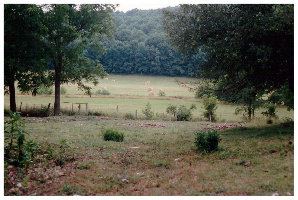
| Description | : | Robert & Mary are buried on the original farm property they bought in Benton County, Arkansas in Sec.14, Twp.21, Rng.29, W5. Their house faced west & looked out over the valley that Little Sugar Creek flows through. Robert requested that he be buried beside a particular tree by the creek. His grave & Mary's had rocks for headstones which were moved into the creek bed sometime after Marvin & Leona Roller bought the land. There was a couple who were travelling south by horse & wagon that had camped nearby whose young child took sick & died while they were... Read More |
frequently asked questions (FAQ):
-
Where is Potts Cemetery?
Potts Cemetery is located at Garfield, Benton County ,Arkansas ,USA.
-
Potts Cemetery cemetery's updated grave count on graveviews.com?
0 memorials
-
Where are the coordinates of the Potts Cemetery?
Latitude: 36.4873620
Longitude: -94.0228990
Nearby Cemetories:
1. Scott Cemetery
Garfield, Benton County, USA
Coordinate: 36.4822006, -94.0314026
2. Ford Cemetery
Benton County, USA
Coordinate: 36.4557991, -94.0261002
3. Twelve Corners Cemetery
Pea Ridge, Benton County, USA
Coordinate: 36.4700012, -94.0622025
4. Dent Cemetery
Jacket, McDonald County, USA
Coordinate: 36.5012100, -94.0781000
5. Liberty Cemetery
Garfield, Benton County, USA
Coordinate: 36.4389000, -94.0105972
6. Pratt Cemetery
Garfield, Benton County, USA
Coordinate: 36.4375000, -94.0335999
7. Henson Jennings Cemetery
Garfield, Benton County, USA
Coordinate: 36.4373300, -94.0347000
8. Paces Chapel Cemetery
Benton County, USA
Coordinate: 36.4372940, -94.0350770
9. Reed-Trent Cemetery
Gateway, Benton County, USA
Coordinate: 36.4882800, -93.9574800
10. Bayless Cemetery
Gateway, Benton County, USA
Coordinate: 36.4831009, -93.9539032
11. Banks Cemetery
Benton County, USA
Coordinate: 36.4869003, -94.0950012
12. Burnett Cemetery
Seligman, Barry County, USA
Coordinate: 36.5327988, -93.9627991
13. Dean Cemetery
Benton County, USA
Coordinate: 36.4188995, -94.0211029
14. Buttram Chapel Cemetery
Pea Ridge, Benton County, USA
Coordinate: 36.4411011, -94.0886765
15. Barnes Cemetery
Washburn, Barry County, USA
Coordinate: 36.5398000, -93.9634000
16. Snoderly Cemetery
Brightwater, Benton County, USA
Coordinate: 36.4171982, -94.0010986
17. Cargile Cemetery
Washburn, Barry County, USA
Coordinate: 36.5598000, -94.0210000
18. Williams Cemetery
Benton County, USA
Coordinate: 36.4164009, -94.0002975
19. Gates To Heaven Cemetery
McDonald County, USA
Coordinate: 36.5133000, -94.1082000
20. Rock Springs Cemetery
Washburn, Barry County, USA
Coordinate: 36.5565600, -93.9813000
21. Miser Family Homestead Cemetery
Pea Ridge, Benton County, USA
Coordinate: 36.4307133, -94.0875982
22. Roller Ridge Cemetery
Gateway, Benton County, USA
Coordinate: 36.4932700, -93.9267500
23. King Cemetery
Seligman, Barry County, USA
Coordinate: 36.5513992, -93.9682999
24. Patterson Cemetery
Pea Ridge, Benton County, USA
Coordinate: 36.4453011, -94.1055984


