| Memorials | : | 572 |
| Location | : | Dimondale, Eaton County, USA |
| Phone | : | (517) 646-0288 |
| Coordinate | : | 42.6451836, -84.6173630 |
frequently asked questions (FAQ):
-
Where is Forest Lawn Memorial Gardens?
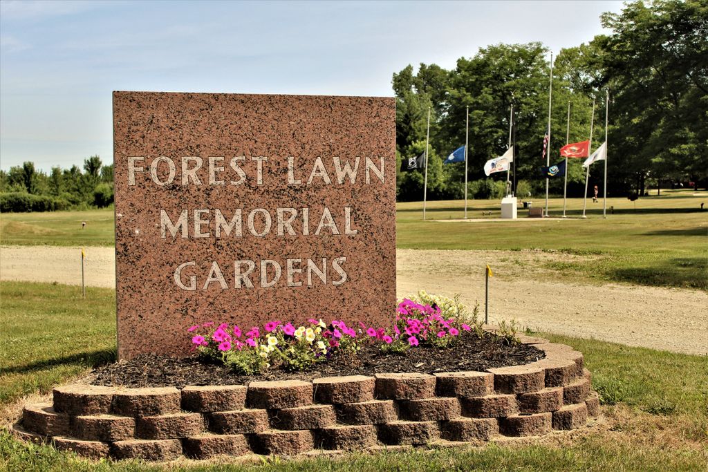
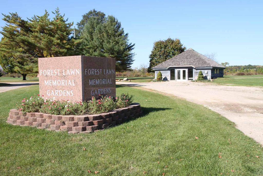
Forest Lawn Memorial Gardens is located at 5401 N. Michigan Road (Michigan State Highway 99) Dimondale, Eaton County ,Michigan , 48821USA.
-
Forest Lawn Memorial Gardens cemetery's updated grave count on graveviews.com?
571 memorials
-
Where are the coordinates of the Forest Lawn Memorial Gardens?
Latitude: 42.6451836
Longitude: -84.6173630
Nearby Cemetories:
1. Country Meadows Pet Cemetery
Dimondale, Eaton County, USA
Coordinate: 42.6471470, -84.6216470
2. Skinner Cemetery
Dimondale, Eaton County, USA
Coordinate: 42.6236000, -84.6222000
3. Dimondale Cemetery
Dimondale, Eaton County, USA
Coordinate: 42.6492004, -84.6607971
4. Courter-Pray Cemetery
Dimondale, Eaton County, USA
Coordinate: 42.6254970, -84.6732940
5. Markham Cemetery
Holt, Ingham County, USA
Coordinate: 42.6035995, -84.5819016
6. West Windsor Cemetery
Dimondale, Eaton County, USA
Coordinate: 42.6504610, -84.7010390
7. North Cemetery
Lansing, Ingham County, USA
Coordinate: 42.6702995, -84.5402985
8. Deepdale Memorial Park
Delta Township, Eaton County, USA
Coordinate: 42.7080994, -84.6069031
9. Pioneer Cemetery
Holt, Ingham County, USA
Coordinate: 42.6500015, -84.5231018
10. Munger Cemetery
Eaton Rapids, Eaton County, USA
Coordinate: 42.5746994, -84.6213989
11. Green Cemetery
Eaton Rapids Township, Eaton County, USA
Coordinate: 42.5870490, -84.6904910
12. Maple Ridge Cemetery
Holt, Ingham County, USA
Coordinate: 42.6535988, -84.5092010
13. North Aurelius Cemetery
Aurelius Township, Ingham County, USA
Coordinate: 42.5818420, -84.5388130
14. Delta Center Cemetery
Grand Ledge, Eaton County, USA
Coordinate: 42.7270000, -84.6560000
15. Mount Hope Cemetery
Lansing, Ingham County, USA
Coordinate: 42.7075005, -84.5258026
16. Bunker Hill Cemetery
Eaton Rapids, Eaton County, USA
Coordinate: 42.5534280, -84.6042970
17. Our Savior Lutheran Memorial Garden
Lansing, Ingham County, USA
Coordinate: 42.7257980, -84.6829620
18. First Presbyterian Church Memorial Garden
Lansing, Ingham County, USA
Coordinate: 42.7349700, -84.5592150
19. Saint Pauls Episcopal Church Memorial Garden
Lansing, Ingham County, USA
Coordinate: 42.7348300, -84.5551480
20. Evergreen Cemetery
Lansing, Ingham County, USA
Coordinate: 42.7089005, -84.5093994
21. Saint David's Memorial Garden
Delta Township, Eaton County, USA
Coordinate: 42.7514420, -84.6231690
22. Saint Joseph Catholic Cemetery
Lansing, Ingham County, USA
Coordinate: 42.7505989, -84.5883026
23. Fowler Cemetery
Aurelius, Ingham County, USA
Coordinate: 42.5400367, -84.5822004
24. Bentley Cemetery
Eaton Rapids, Eaton County, USA
Coordinate: 42.5456009, -84.6761017


