
| Memorials | : | 28 |
| Location | : | Eaton Rapids Township, Eaton County, USA |
| Coordinate | : | 42.5870490, -84.6904910 |
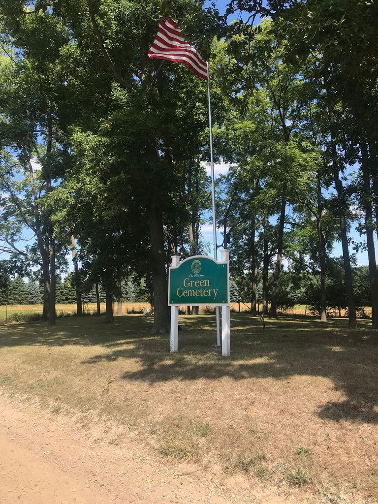
| Description | : | The cemetery is located on the east side of Scout Road about 0.4 miles north of its intersection with Columbia Highway. The U.S. Geological Survey (USGS) Geographic Names Information System (GNIS) feature ID for the cemetery is 627286 (Green Cemetery). The cemetery is identified as the Green Cemetery in Eaton Rapids Township, Kent County, Michigan on pages 56 and 57 in Michigan Cemetery Source Book, published by Library of Michigan. |
frequently asked questions (FAQ):
-
Where is Green Cemetery?
Green Cemetery is located at 1292 Scout Road Eaton Rapids Township, Eaton County ,Michigan , 48827USA.
-
Green Cemetery cemetery's updated grave count on graveviews.com?
28 memorials
-
Where are the coordinates of the Green Cemetery?
Latitude: 42.5870490
Longitude: -84.6904910
Nearby Cemetories:
1. Courter-Pray Cemetery
Dimondale, Eaton County, USA
Coordinate: 42.6254970, -84.6732940
2. Bentley Cemetery
Eaton Rapids, Eaton County, USA
Coordinate: 42.5456009, -84.6761017
3. Munger Cemetery
Eaton Rapids, Eaton County, USA
Coordinate: 42.5746994, -84.6213989
4. South Center Eaton Cemetery
Charlotte, Eaton County, USA
Coordinate: 42.5381012, -84.7307968
5. Skinner Cemetery
Dimondale, Eaton County, USA
Coordinate: 42.6236000, -84.6222000
6. Brickyard Cemetery
Eaton Rapids, Eaton County, USA
Coordinate: 42.5243988, -84.6999969
7. West Windsor Cemetery
Dimondale, Eaton County, USA
Coordinate: 42.6504610, -84.7010390
8. Vermontville Pioneer Cemetery
Vermontville, Eaton County, USA
Coordinate: 42.5980000, -84.7760000
9. Dimondale Cemetery
Dimondale, Eaton County, USA
Coordinate: 42.6492004, -84.6607971
10. Benton Township Cemetery
Potterville, Eaton County, USA
Coordinate: 42.6263885, -84.7638855
11. Bunker Hill Cemetery
Eaton Rapids, Eaton County, USA
Coordinate: 42.5534280, -84.6042970
12. Country Meadows Pet Cemetery
Dimondale, Eaton County, USA
Coordinate: 42.6471470, -84.6216470
13. Forest Lawn Memorial Gardens
Dimondale, Eaton County, USA
Coordinate: 42.6451836, -84.6173630
14. Markham Cemetery
Holt, Ingham County, USA
Coordinate: 42.6035995, -84.5819016
15. Rosehill Cemetery
Eaton Rapids, Eaton County, USA
Coordinate: 42.5003014, -84.6635971
16. Fowler Cemetery
Aurelius, Ingham County, USA
Coordinate: 42.5400367, -84.5822004
17. Center Eaton Cemetery
Charlotte, Eaton County, USA
Coordinate: 42.5349998, -84.7949982
18. Oakwood Cemetery
Eaton Rapids, Eaton County, USA
Coordinate: 42.4947014, -84.6659012
19. Maple Hill Cemetery
Charlotte, Eaton County, USA
Coordinate: 42.5797005, -84.8218994
20. Pinch Cemetery
Benton Township, Eaton County, USA
Coordinate: 42.6552770, -84.7877770
21. Plains Cemetery
Aurelius, Ingham County, USA
Coordinate: 42.5096200, -84.5944480
22. Fox Cemetery
Brookfield, Eaton County, USA
Coordinate: 42.4935550, -84.7677610
23. North Aurelius Cemetery
Aurelius Township, Ingham County, USA
Coordinate: 42.5818420, -84.5388130
24. Pioneer Cemetery
Grand Ledge, Eaton County, USA
Coordinate: 42.7043991, -84.7414017