
| Memorials | : | 4 |
| Location | : | Eaton Rapids, Eaton County, USA |
| Phone | : | (517) 663-7407 |
| Coordinate | : | 42.5534280, -84.6042970 |
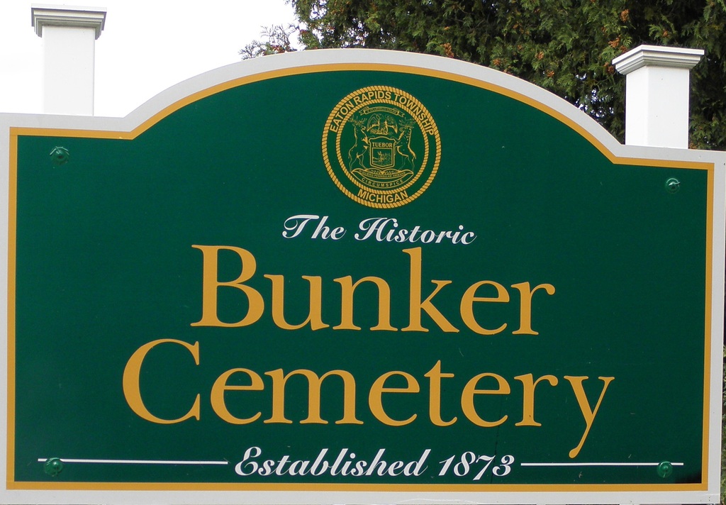
| Description | : | Bunker Hill Cemetery is located approximately 3.5 miles north of Eaton Rapids, MI on M-99 1 miles east on Bunker Road in Eaton Rapids Township, Section 13, T2N, R3W, Eaton County. GPS Latitude is 42.553428; Longitude is -84.604297. On July 19, 1873 (Liber 56, page 199) one acre of land was deeded from Harvey Marvin to “Bunker Hill Cemetery Association” to establish the cemetery. A record of the Bunker Hill Cemetery Association Burial Ground of Eaton Rapids and Aurelius Michigan began September 17, 1873. The cemetery was dually owned by Aurelius and Eaton Rapids... Read More |
frequently asked questions (FAQ):
-
Where is Bunker Hill Cemetery?
Bunker Hill Cemetery is located at Bunker Road Eaton Rapids, Eaton County ,Michigan ,USA.
-
Bunker Hill Cemetery cemetery's updated grave count on graveviews.com?
4 memorials
-
Where are the coordinates of the Bunker Hill Cemetery?
Latitude: 42.5534280
Longitude: -84.6042970
Nearby Cemetories:
1. Fowler Cemetery
Aurelius, Ingham County, USA
Coordinate: 42.5400367, -84.5822004
2. Munger Cemetery
Eaton Rapids, Eaton County, USA
Coordinate: 42.5746994, -84.6213989
3. Plains Cemetery
Aurelius, Ingham County, USA
Coordinate: 42.5096200, -84.5944480
4. Markham Cemetery
Holt, Ingham County, USA
Coordinate: 42.6035995, -84.5819016
5. Bentley Cemetery
Eaton Rapids, Eaton County, USA
Coordinate: 42.5456009, -84.6761017
6. North Aurelius Cemetery
Aurelius Township, Ingham County, USA
Coordinate: 42.5818420, -84.5388130
7. Rosehill Cemetery
Eaton Rapids, Eaton County, USA
Coordinate: 42.5003014, -84.6635971
8. Skinner Cemetery
Dimondale, Eaton County, USA
Coordinate: 42.6236000, -84.6222000
9. Greenwood Cemetery
Aurelius, Ingham County, USA
Coordinate: 42.5138893, -84.5233307
10. Green Cemetery
Eaton Rapids Township, Eaton County, USA
Coordinate: 42.5870490, -84.6904910
11. Oakwood Cemetery
Eaton Rapids, Eaton County, USA
Coordinate: 42.4947014, -84.6659012
12. Brickyard Cemetery
Eaton Rapids, Eaton County, USA
Coordinate: 42.5243988, -84.6999969
13. Courter-Pray Cemetery
Dimondale, Eaton County, USA
Coordinate: 42.6254970, -84.6732940
14. Forest Lawn Memorial Gardens
Dimondale, Eaton County, USA
Coordinate: 42.6451836, -84.6173630
15. South Center Eaton Cemetery
Charlotte, Eaton County, USA
Coordinate: 42.5381012, -84.7307968
16. Country Meadows Pet Cemetery
Dimondale, Eaton County, USA
Coordinate: 42.6471470, -84.6216470
17. Dimondale Cemetery
Dimondale, Eaton County, USA
Coordinate: 42.6492004, -84.6607971
18. Onondaga Cemetery
Onondaga, Ingham County, USA
Coordinate: 42.4445877, -84.5699387
19. Rolfe Cemetery
Mason, Ingham County, USA
Coordinate: 42.5243988, -84.4569016
20. Pioneer Cemetery
Holt, Ingham County, USA
Coordinate: 42.6500015, -84.5231018
21. Lane Cemetery
Onondaga, Ingham County, USA
Coordinate: 42.4505600, -84.5358300
22. West Windsor Cemetery
Dimondale, Eaton County, USA
Coordinate: 42.6504610, -84.7010390
23. Maple Grove Cemetery
Mason, Ingham County, USA
Coordinate: 42.5856018, -84.4458008
24. Maple Ridge Cemetery
Holt, Ingham County, USA
Coordinate: 42.6535988, -84.5092010