
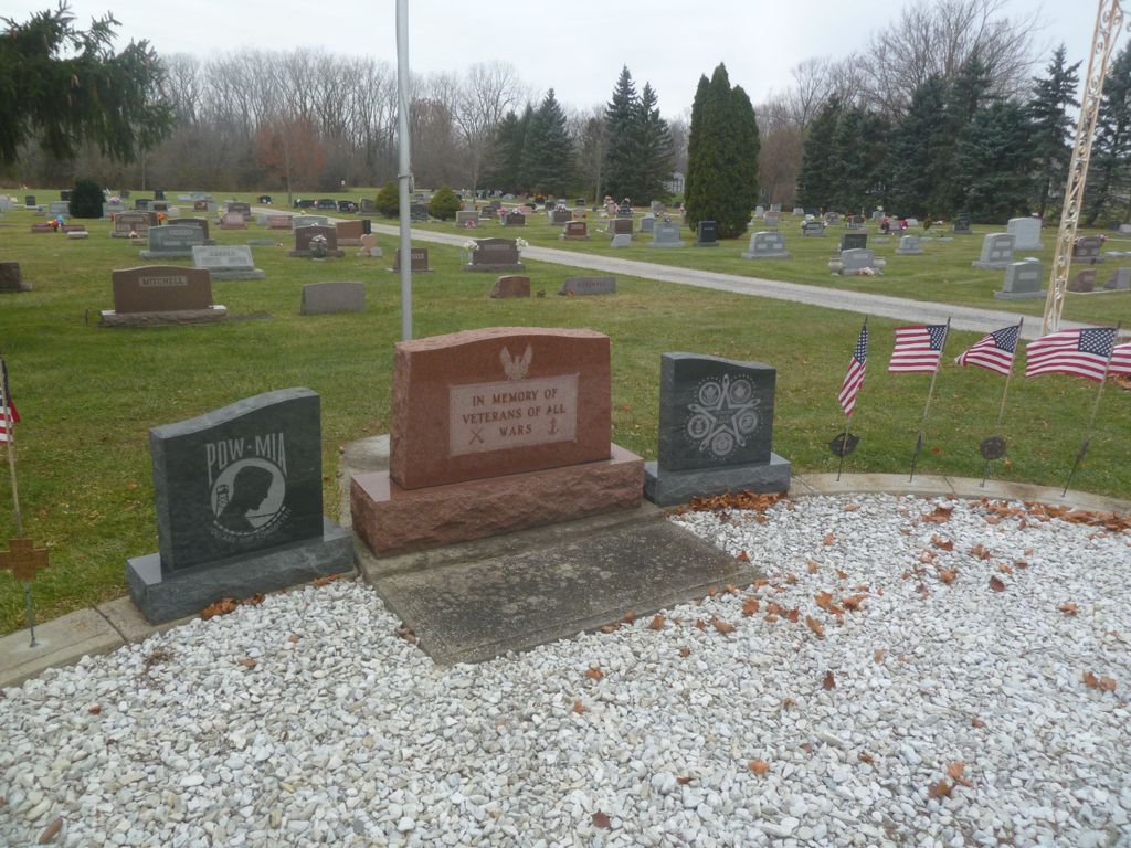
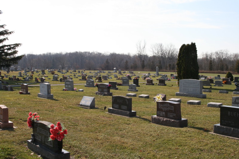
| Memorials | : | 27 |
| Location | : | Stryker, Williams County, USA |
| Coordinate | : | 41.4978900, -84.4274700 |
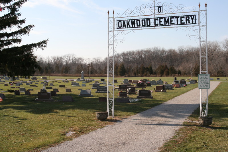
| Description | : | It is also known as the Stryker Cemetery, since it is situated in the southwest part of Stryker on Co. Road 2050 The cemetery is located in Springfield Township, Williams County, Ohio, and is # 12830 (Oakwood Cemetery / Oak Ridge Cemetery) in “Ohio Cemeteries 1803-2003”, compiled by the Ohio Genealogical Society. The cemetery is registered with the Ohio Division of Real Estate and Professional Licensing (ODRE) as Oakwood Cemetery with registration license number CGR.0000980752. The U.S. Geological Survey (USGS) Geographic Names Information System (GNIS) feature ID for the cemetery is 1044047 (Oak Ridge Cemetery / Oakwood Cemetery). |
frequently asked questions (FAQ):
-
Where is Oakwood Cemetery?
Oakwood Cemetery is located at Chase Street (County Road 20-50) Stryker, Williams County ,Ohio , 43557USA.
-
Oakwood Cemetery cemetery's updated grave count on graveviews.com?
26 memorials
-
Where are the coordinates of the Oakwood Cemetery?
Latitude: 41.4978900
Longitude: -84.4274700
Nearby Cemetories:
1. French Cemetery
Springfield Township, Williams County, USA
Coordinate: 41.5039100, -84.4485500
2. Boynton Cemetery
Stryker, Williams County, USA
Coordinate: 41.4782982, -84.4389038
3. Bodel Cemetery
Stryker, Williams County, USA
Coordinate: 41.5277080, -84.4495600
4. Beaver Creek Cemetery
Williams County, USA
Coordinate: 41.4808006, -84.4858017
5. Lockport Cemetery
Stryker, Williams County, USA
Coordinate: 41.5466690, -84.3927765
6. Old Pulaski Cemetery
Williams County, USA
Coordinate: 41.5135994, -84.5119019
7. Shiffler Cemetery
Jefferson Township, Williams County, USA
Coordinate: 41.5325012, -84.5063934
8. Kunkle Cemetery
Williams County, USA
Coordinate: 41.5561150, -84.4762400
9. Buck Cemetery
Williams County, USA
Coordinate: 41.4272003, -84.4250031
10. Goll Cemetery
Archbold, Fulton County, USA
Coordinate: 41.5558014, -84.3677979
11. Floral Grove Cemetery
West Unity, Williams County, USA
Coordinate: 41.5708008, -84.4158020
12. Zion Cemetery
Williams County, USA
Coordinate: 41.4417000, -84.3628006
13. Williams County Infirmary Cemetery
West Unity, Williams County, USA
Coordinate: 41.5571430, -84.5097860
14. Reform Cemetery
Archbold, Fulton County, USA
Coordinate: 41.5039790, -84.3061070
15. Archbold Cemetery
Archbold, Fulton County, USA
Coordinate: 41.5028000, -84.3058014
16. Evansport Cemetery
Evansport, Defiance County, USA
Coordinate: 41.4075012, -84.3964005
17. Beatty Cemetery
West Unity, Williams County, USA
Coordinate: 41.5881970, -84.3954710
18. Rings Cemetery
West Unity, Williams County, USA
Coordinate: 41.5928680, -84.4288400
19. Fountain Grove Cemetery
Bryan, Williams County, USA
Coordinate: 41.4572182, -84.5480576
20. Saint John Lutheran Church Cemetery
Ridgeville Township, Henry County, USA
Coordinate: 41.4425410, -84.3084650
21. Johnson Cemetery
Burlington, Fulton County, USA
Coordinate: 41.5791230, -84.3308020
22. Beaver Creek Cemetery
West Unity, Williams County, USA
Coordinate: 41.6011009, -84.4738998
23. Bistline Cemetery
West Unity, Williams County, USA
Coordinate: 41.5995650, -84.4909490
24. Saint Johns Methodist Cemetery
Defiance County, USA
Coordinate: 41.3878700, -84.3943100