
| Memorials | : | 0 |
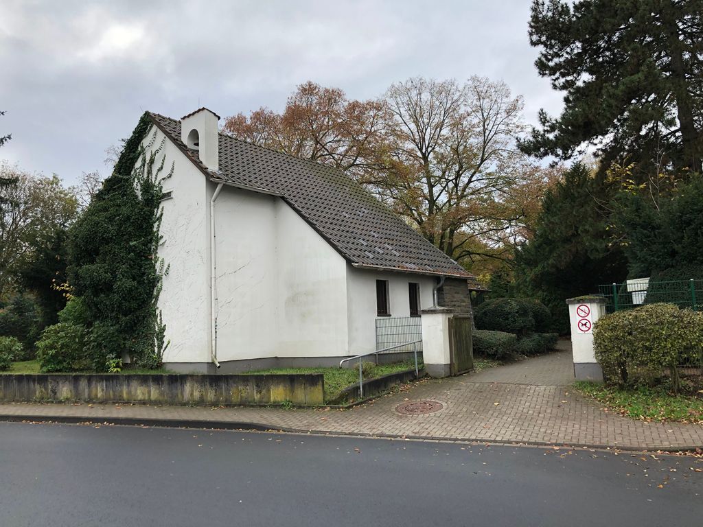
| Location | : | Frechen, Rhein-Erft-Kreis, Germany |
| Coordinate | : | 50.9328850, 6.7749860 |
| Description | : | This cemetery was in 1975 carried over from the community Lövenich in course of administration rearrangement. Area: 14.920 sq m. Memorials: 1470 |
frequently asked questions (FAQ):
-
Where is Friedhof Königsdorf-Süd?
Friedhof Königsdorf-Süd is located at Frechen-Königsdorf, Augustinusstraße Frechen, Rhein-Erft-Kreis ,Nordrhein-Westfalen , 50226Germany.
-
Friedhof Königsdorf-Süd cemetery's updated grave count on graveviews.com?
0 memorials
-
Where are the coordinates of the Friedhof Königsdorf-Süd?
Latitude: 50.9328850
Longitude: 6.7749860
Nearby Cemetories:
1. Kleinkönigsdorfer Friedhof
Königsdorf, Rhein-Erft-Kreis, Germany
Coordinate: 50.9430976, 6.7651562
2. Brauweiler Cemetery
Pulheim, Rhein-Erft-Kreis, Germany
Coordinate: 50.9581130, 6.7753765
3. Brauweiler Abbey
Pulheim, Rhein-Erft-Kreis, Germany
Coordinate: 50.9611400, 6.7828300
4. Friedhof Lövenich
Cologne, Stadtkreis Köln, Germany
Coordinate: 50.9432800, 6.8183800
5. Friedhof Albert-Kindle-Straße Weiden neu
Cologne, Stadtkreis Köln, Germany
Coordinate: 50.9404000, 6.8209600
6. Frechen-Grefrath Cemetery
Frechen, Rhein-Erft-Kreis, Germany
Coordinate: 50.9022543, 6.7521958
7. Friedhof Gartenweg Weiden alt
Cologne, Stadtkreis Köln, Germany
Coordinate: 50.9402200, 6.8287500
8. Kirchhof Sankt Audomar
Frechen, Rhein-Erft-Kreis, Germany
Coordinate: 50.9090500, 6.8152100
9. Jüdischer Friedhof
Frechen, Rhein-Erft-Kreis, Germany
Coordinate: 50.9015312, 6.8057133
10. Friedhof Sankt Audomar
Frechen, Rhein-Erft-Kreis, Germany
Coordinate: 50.9066800, 6.8167500
11. Friedhof Bachem
Frechen, Rhein-Erft-Kreis, Germany
Coordinate: 50.9017300, 6.8167700
12. Friedhof Horrem
Horrem, Rhein-Erft-Kreis, Germany
Coordinate: 50.9091424, 6.7189828
13. Friedhof Turmgasse Widdersdorf alt
Cologne, Stadtkreis Köln, Germany
Coordinate: 50.9635800, 6.8274900
14. Friedhof Hauptstraße Widdersdorf neu
Cologne, Stadtkreis Köln, Germany
Coordinate: 50.9653200, 6.8291100
15. Alter Friedhof Junkersdorf
Cologne, Stadtkreis Köln, Germany
Coordinate: 50.9338800, 6.8569800
16. Friedhof Junkersdorf
Cologne, Stadtkreis Köln, Germany
Coordinate: 50.9305200, 6.8578400
17. Sindorf Jewish Cemetery
Sindorf, Rhein-Erft-Kreis, Germany
Coordinate: 50.9145778, 6.6794133
18. Waldfriedhof
Oberaussem, Rhein-Erft-Kreis, Germany
Coordinate: 50.9700860, 6.6877530
19. Friedhof Müngersdorf
Cologne, Stadtkreis Köln, Germany
Coordinate: 50.9404500, 6.8819300
20. Friedhof Bocklemünd
Cologne, Stadtkreis Köln, Germany
Coordinate: 50.9750000, 6.8611560
21. Friedhof Bergheim
Bergheim, Rhein-Sieg-Kreis, Germany
Coordinate: 50.9723430, 6.6827380
22. Jüdischer Friedhof Bocklmünd
Cologne, Stadtkreis Köln, Germany
Coordinate: 50.9705490, 6.8714300
23. Jewish Cemetery
Kerpen, Rhein-Erft-Kreis, Germany
Coordinate: 50.8820475, 6.6902439
24. Westfriedhof
Cologne, Stadtkreis Köln, Germany
Coordinate: 50.9718330, 6.8786430