
| Memorials | : | 0 |
| Location | : | Dahn, Landkreis Südwestpfalz, Germany |
| Coordinate | : | 49.1531000, 7.7799200 |
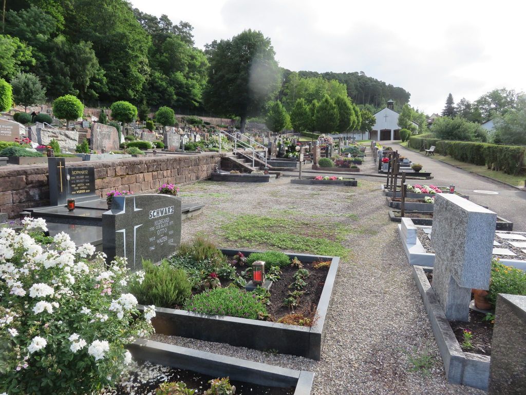
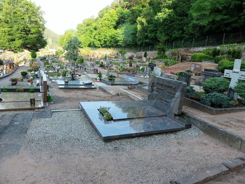
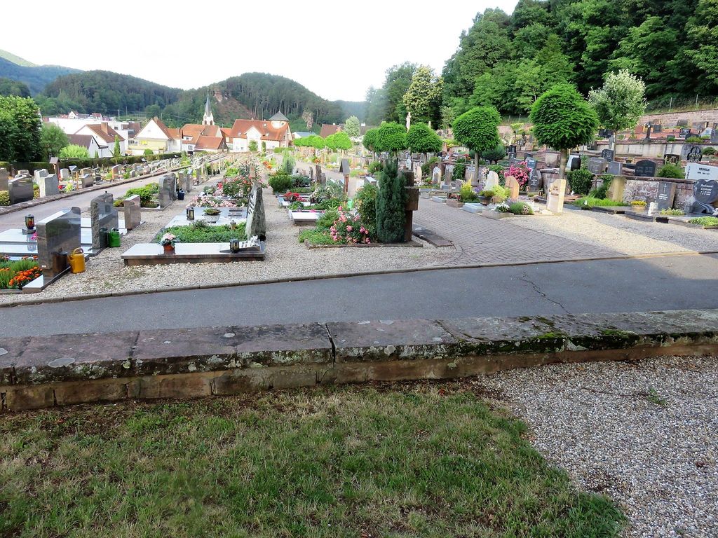
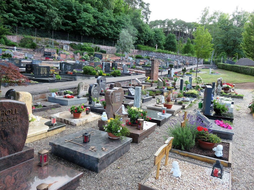
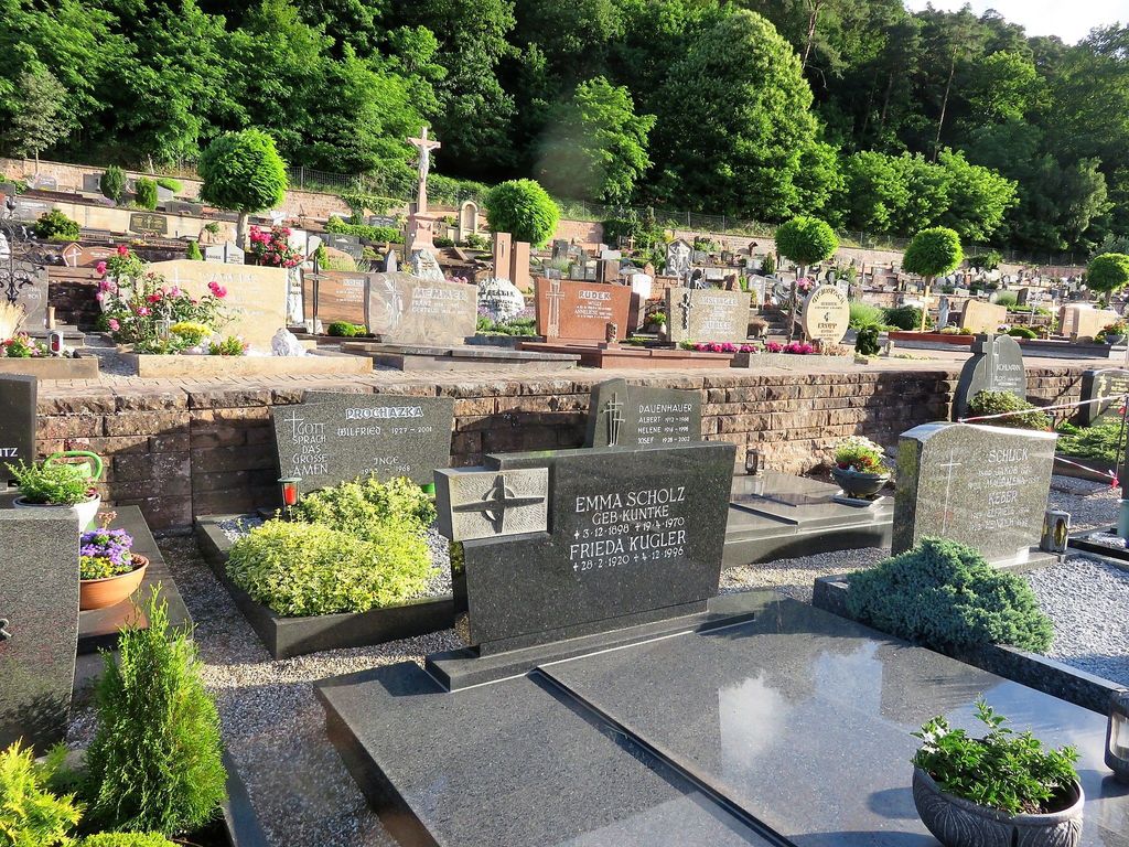
| Description | : | Dahn ist eine Stadt im Landkreis Südwestpfalz in Rheinland-Pfalz. Sie ist Verwaltungssitz der Verbandsgemeinde Dahner Felsenland, der sie auch angehört. Im Jahre 2015 hatte Dahn 4.595 Einwohner. Dahn liegt ca. 15 km südöstlich von Pirmasens und 25 km westlich von Landau. Dahn liegt nordwestlich von Karlsruhe - etwa eine Autostunde entfernt. Die meisten Grabsteine wurden im Jahr 2004 von Andreas Drieß fotografiert. ------------------------------------------- Dahn is a municipality in the Südwestpfalz administrative district in the German state of Rhineland-Palatinate. It is part of Dahner Felsenland. In 2015 Dahn's population was 4,595 and it lies approximately 15 km southeast of Pirmasens and 25 km west... Read More |
frequently asked questions (FAQ):
-
Where is Friedhof Dahn?
Friedhof Dahn is located at Höhenweg Dahn, Landkreis Südwestpfalz ,Rheinland-Pfalz , 66994Germany.
-
Friedhof Dahn cemetery's updated grave count on graveviews.com?
0 memorials
-
Where are the coordinates of the Friedhof Dahn?
Latitude: 49.1531000
Longitude: 7.7799200
Nearby Cemetories:
1. Ehrenfriedhof Dahn
Dahn, Landkreis Südwestpfalz, Germany
Coordinate: 49.1458330, 7.7869440
2. Friedhof Erfweiler
Erfweiler, Landkreis Südwestpfalz, Germany
Coordinate: 49.1575300, 7.8085500
3. Friedhof Schindhard
Schindhard, Landkreis Südwestpfalz, Germany
Coordinate: 49.1469200, 7.8198700
4. Friedhof Busenberg
Busenberg, Landkreis Südwestpfalz, Germany
Coordinate: 49.1311060, 7.8288170
5. Alter Friedhof Bruchweiler-Bärenbach
Bruchweiler-Bärenbach, Landkreis Südwestpfalz, Germany
Coordinate: 49.1152000, 7.8025100
6. Friedhof Hinterweidenthal
Hinterweidenthal, Landkreis Südwestpfalz, Germany
Coordinate: 49.1949560, 7.7577490
7. Jüdischer Friedhof Busenberg
Busenberg, Landkreis Südwestpfalz, Germany
Coordinate: 49.1262340, 7.8389840
8. Neuer Friedhof Bruchweiler-Bärenbach
Bruchweiler-Bärenbach, Landkreis Südwestpfalz, Germany
Coordinate: 49.1099200, 7.8122200
9. Friedhof Rumbach
Rumbach, Landkreis Südwestpfalz, Germany
Coordinate: 49.0961000, 7.7835600
10. Friedhof Oberschlettenbach
Oberschlettenbach, Landkreis Südliche Weinstraße, Germany
Coordinate: 49.1455900, 7.8753200
11. Friedhof Hauenstein
Hauenstein, Landkreis Südwestpfalz, Germany
Coordinate: 49.1925800, 7.8573900
12. Friedhof Bundenthal
Bundenthal, Landkreis Südwestpfalz, Germany
Coordinate: 49.0918000, 7.8114500
13. Friedhof Schwanheim
Schwanheim, Landkreis Südwestpfalz, Germany
Coordinate: 49.1655200, 7.8786300
14. Friedhof Darstein
Darstein, Landkreis Südwestpfalz, Germany
Coordinate: 49.1596200, 7.8823000
15. Friedhof Erlenbach bei Dahn
Erlenbach bei Dahn, Landkreis Südwestpfalz, Germany
Coordinate: 49.1146900, 7.8646200
16. Friedhof Vorderweidenthal
Vorderweidenthal, Landkreis Südliche Weinstraße, Germany
Coordinate: 49.1284760, 7.8830630
17. Ruheforst Südpfälzer Bergland
Wilgartswiesen, Landkreis Südwestpfalz, Germany
Coordinate: 49.2164800, 7.8329100
18. Friedhof Dimbach
Dimbach, Landkreis Südwestpfalz, Germany
Coordinate: 49.1676900, 7.8951850
19. Neuer Friedhof Münchweiler an der Rodalb
Münchweiler an der Rodalb, Landkreis Südwestpfalz, Germany
Coordinate: 49.2177620, 7.7145300
20. Alter Friedhof Münchweiler an der Rodalb
Münchweiler an der Rodalb, Landkreis Südwestpfalz, Germany
Coordinate: 49.2167800, 7.7077700
21. Friedhof Lemberg
Lemberg, Landkreis Südwestpfalz, Germany
Coordinate: 49.1717010, 7.6600740
22. Friedhof Fischbach bei Dahn
Fischbach bei Dahn, Landkreis Südwestpfalz, Germany
Coordinate: 49.0824400, 7.7142100
23. Friedhof Niederschlettenbach
Niederschlettenbach, Landkreis Südwestpfalz, Germany
Coordinate: 49.0838800, 7.8504800
24. Friedhof Lug
Lug, Landkreis Südwestpfalz, Germany
Coordinate: 49.1846600, 7.8979300