
| Memorials | : | 0 |
| Location | : | Busenberg, Landkreis Südwestpfalz, Germany |
| Coordinate | : | 49.1311060, 7.8288170 |
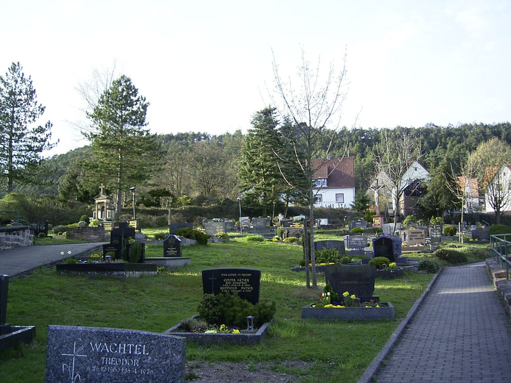
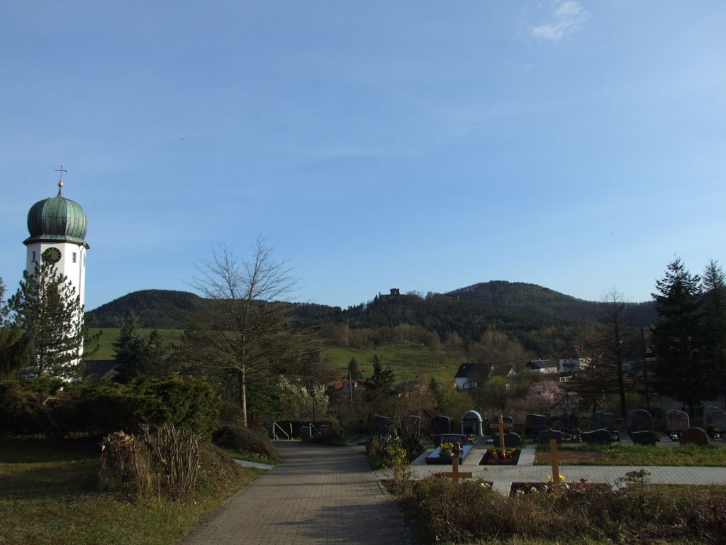
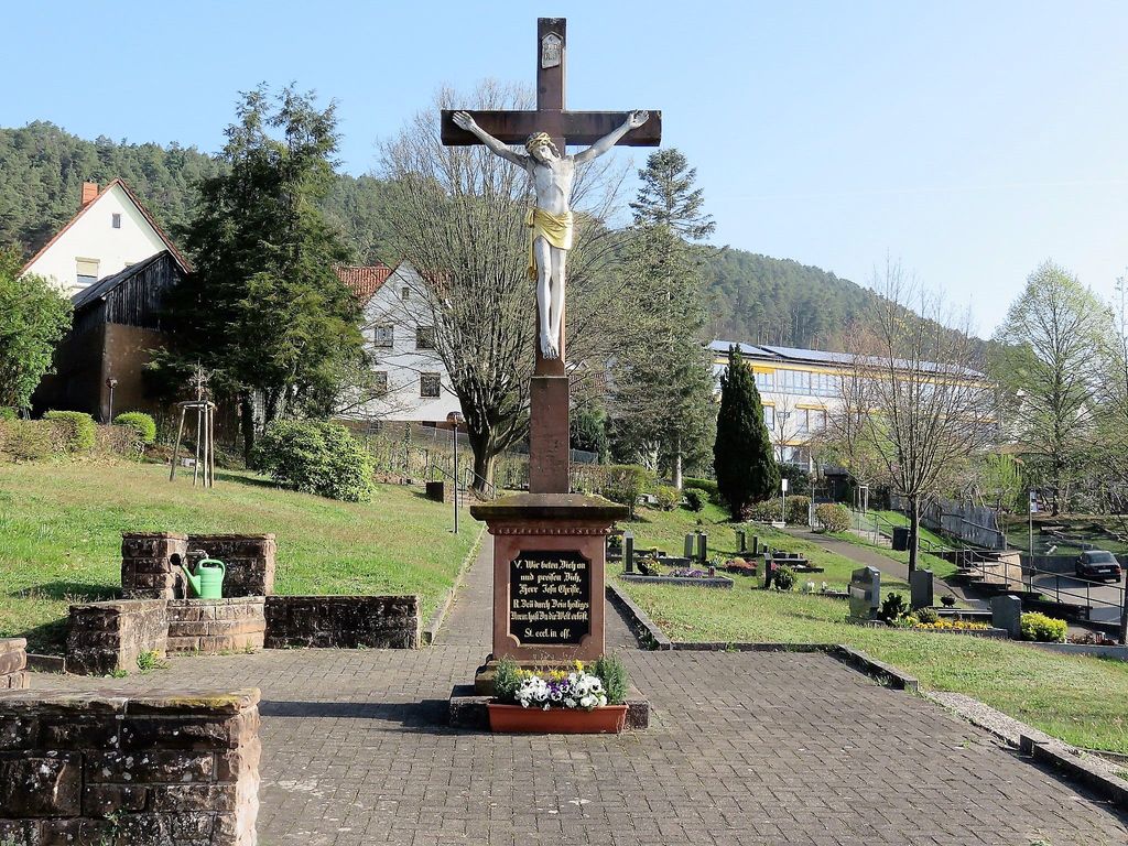
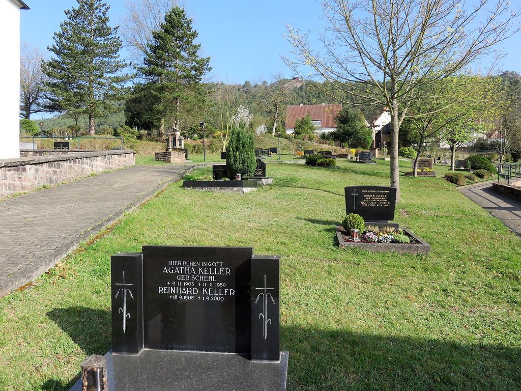
| Description | : | Busenberg ist eine Ortsgemeinde im Landkreis Südwestpfalz (Rheinland-Pfalz). Sie gehört zur Verbandsgemeinde Dahner Felsenland, die ihren Verwaltungssitz in der Stadt Dahn hat. Im Jahe 2015 hat Busenberg 1.206 Einwohner. Busenberg liegt nordwestlich von Karlsruhe, etwa eine Stunde mit dem Auto. Die größte Stadt in der Nähe von Busenberg ist Bad Bergzabern. Die meisten Grabsteine wurden im Jahr 2004 von Andreas Drieß fotografiert. Spätere Fotos stammen von Reiner Peter. --------------------------------------------- Busenberg is a municipality in the Südwestpfalz administrative district in the German state of Rhineland-Palatinate. In 2015 its population was 1,206. Busenberg is located northwest of Karlsruhe, approx. 1 hour by car. The... Read More |
frequently asked questions (FAQ):
-
Where is Friedhof Busenberg?
Friedhof Busenberg is located at Kirchstraße Busenberg, Landkreis Südwestpfalz ,Rheinland-Pfalz , 76891Germany.
-
Friedhof Busenberg cemetery's updated grave count on graveviews.com?
0 memorials
-
Where are the coordinates of the Friedhof Busenberg?
Latitude: 49.1311060
Longitude: 7.8288170
Nearby Cemetories:
1. Jüdischer Friedhof Busenberg
Busenberg, Landkreis Südwestpfalz, Germany
Coordinate: 49.1262340, 7.8389840
2. Friedhof Schindhard
Schindhard, Landkreis Südwestpfalz, Germany
Coordinate: 49.1469200, 7.8198700
3. Alter Friedhof Bruchweiler-Bärenbach
Bruchweiler-Bärenbach, Landkreis Südwestpfalz, Germany
Coordinate: 49.1152000, 7.8025100
4. Neuer Friedhof Bruchweiler-Bärenbach
Bruchweiler-Bärenbach, Landkreis Südwestpfalz, Germany
Coordinate: 49.1099200, 7.8122200
5. Friedhof Erlenbach bei Dahn
Erlenbach bei Dahn, Landkreis Südwestpfalz, Germany
Coordinate: 49.1146900, 7.8646200
6. Friedhof Erfweiler
Erfweiler, Landkreis Südwestpfalz, Germany
Coordinate: 49.1575300, 7.8085500
7. Ehrenfriedhof Dahn
Dahn, Landkreis Südwestpfalz, Germany
Coordinate: 49.1458330, 7.7869440
8. Friedhof Oberschlettenbach
Oberschlettenbach, Landkreis Südliche Weinstraße, Germany
Coordinate: 49.1455900, 7.8753200
9. Friedhof Vorderweidenthal
Vorderweidenthal, Landkreis Südliche Weinstraße, Germany
Coordinate: 49.1284760, 7.8830630
10. Friedhof Dahn
Dahn, Landkreis Südwestpfalz, Germany
Coordinate: 49.1531000, 7.7799200
11. Friedhof Bundenthal
Bundenthal, Landkreis Südwestpfalz, Germany
Coordinate: 49.0918000, 7.8114500
12. Friedhof Darstein
Darstein, Landkreis Südwestpfalz, Germany
Coordinate: 49.1596200, 7.8823000
13. Friedhof Rumbach
Rumbach, Landkreis Südwestpfalz, Germany
Coordinate: 49.0961000, 7.7835600
14. Friedhof Schwanheim
Schwanheim, Landkreis Südwestpfalz, Germany
Coordinate: 49.1655200, 7.8786300
15. Friedhof Niederschlettenbach
Niederschlettenbach, Landkreis Südwestpfalz, Germany
Coordinate: 49.0838800, 7.8504800
16. Friedhof Lauterschwan
Lauterschwan, Landkreis Südwestpfalz, Germany
Coordinate: 49.1142400, 7.9052800
17. Friedhof Dimbach
Dimbach, Landkreis Südwestpfalz, Germany
Coordinate: 49.1676900, 7.8951850
18. Friedhof Nothweiler
Nothweiler, Landkreis Südwestpfalz, Germany
Coordinate: 49.0702600, 7.8026500
19. Friedhof Hauenstein
Hauenstein, Landkreis Südwestpfalz, Germany
Coordinate: 49.1925800, 7.8573900
20. Friedhof Birkenhördt
Birkenhördt, Landkreis Südliche Weinstraße, Germany
Coordinate: 49.1150600, 7.9242400
21. Friedhof Bobenthal
Bobenthal, Landkreis Südwestpfalz, Germany
Coordinate: 49.0643900, 7.8576300
22. Friedhof Lug
Lug, Landkreis Südwestpfalz, Germany
Coordinate: 49.1846600, 7.8979300
23. Friedhof Gossersweiler
Gossersweiler-Stein, Landkreis Südliche Weinstraße, Germany
Coordinate: 49.1589200, 7.9275400
24. Friedhof Stein
Gossersweiler-Stein, Landkreis Südliche Weinstraße, Germany
Coordinate: 49.1564600, 7.9338400