| Memorials | : | 0 |
| Location | : | Potsdam, Stadtkreis Potsdam, Germany |
| Coordinate | : | 52.4074890, 13.0620740 |
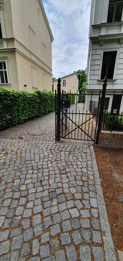
| Description | : | GPS for historical purposes only. This cemetery was in front of the Nauener Tor and was roughly 3 hectares in size. It roughly comprised the area Eisenhartstrasse, Behlertstrasse and Am Neuen Garten. It only existed for about 100 years. The last of the tombs were placed in the Old Cemetery (Alter Friedhof) in 1865. |
frequently asked questions (FAQ):
-
Where is Friedhof vor dem Nauener Tor (Defunct)?
Friedhof vor dem Nauener Tor (Defunct) is located at Potsdam, Stadtkreis Potsdam ,Brandenburg ,Germany.
-
Friedhof vor dem Nauener Tor (Defunct) cemetery's updated grave count on graveviews.com?
0 memorials
-
Where are the coordinates of the Friedhof vor dem Nauener Tor (Defunct)?
Latitude: 52.4074890
Longitude: 13.0620740
Nearby Cemetories:
1. Soviet War Cemetery
Potsdam, Stadtkreis Potsdam, Germany
Coordinate: 52.4011892, 13.0610859
2. Jüdischer Friedhof Pfingstberg
Potsdam, Stadtkreis Potsdam, Germany
Coordinate: 52.4167700, 13.0577300
3. Friedenskirche
Potsdam, Stadtkreis Potsdam, Germany
Coordinate: 52.4008330, 13.0433330
4. Sanssouci Palace
Potsdam, Stadtkreis Potsdam, Germany
Coordinate: 52.4040730, 13.0397810
5. Bornstedter Friedhof
Potsdam, Stadtkreis Potsdam, Germany
Coordinate: 52.4083900, 13.0275100
6. Alter Friedhof
Potsdam, Stadtkreis Potsdam, Germany
Coordinate: 52.3867620, 13.0735090
7. Friedhof Klein Glienicke
Klein Glienicke, Stadtkreis Potsdam, Germany
Coordinate: 52.4131750, 13.0997759
8. Neuer Friedhof Potsdam
Potsdam, Stadtkreis Potsdam, Germany
Coordinate: 52.3843750, 13.0712200
9. Prinzenfriedhof Klein-Glienicke
Wannsee, Steglitz-Zehlendorf, Germany
Coordinate: 52.4171810, 13.1001030
10. Antikentempel
Potsdam, Stadtkreis Potsdam, Germany
Coordinate: 52.4022320, 13.0188040
11. Evang. Friedhof am Plantagenplatz
Babelsberg, Stadtkreis Potsdam, Germany
Coordinate: 52.3934945, 13.1011823
12. Friedhof Sacrow
Potsdam, Stadtkreis Potsdam, Germany
Coordinate: 52.4283800, 13.0920600
13. Friedhof Goethestraße
Potsdam, Stadtkreis Potsdam, Germany
Coordinate: 52.3969700, 13.1054900
14. Friedhof Großbeerenstraße in Potsdam-Babelsberg
Babelsberg, Stadtkreis Potsdam, Germany
Coordinate: 52.3856519, 13.1002058
15. Friedhof der Pfaueninsel am Nikolskoe
Wannsee, Steglitz-Zehlendorf, Germany
Coordinate: 52.4232064, 13.1186031
16. St. Peter und Paul auf Nikolskoe
Wannsee, Steglitz-Zehlendorf, Germany
Coordinate: 52.4244440, 13.1191670
17. Sowjetischer Garnisonsfriedhof Potsdam
Potsdam, Stadtkreis Potsdam, Germany
Coordinate: 52.3693255, 13.0503467
18. Friedhof Wannsee I - Friedenstrasse
Wannsee, Steglitz-Zehlendorf, Germany
Coordinate: 52.4142265, 13.1408291
19. Friedhof Bornim
Bornim, Stadtkreis Potsdam, Germany
Coordinate: 52.4245726, 12.9858348
20. Friedhof Krampnitz
Krampnitz, Stadtkreis Potsdam, Germany
Coordinate: 52.4582241, 13.0584814
21. Friedhof Wannsee II - Lindenstrasse
Wannsee, Steglitz-Zehlendorf, Germany
Coordinate: 52.4252243, 13.1538744
22. Friedhof Drewitz
Drewitz, Stadtkreis Potsdam, Germany
Coordinate: 52.3569540, 13.1322360
23. Dorfkirchhof Kladow
Kladow, Spandau, Germany
Coordinate: 52.4526620, 13.1417730
24. Dorfkirche Grube
Grube, Stadtkreis Potsdam, Germany
Coordinate: 52.4322272, 12.9534421

