
| Memorials | : | 0 |
| Location | : | Wannsee, Steglitz-Zehlendorf, Germany |
| Coordinate | : | 52.4232064, 13.1186031 |
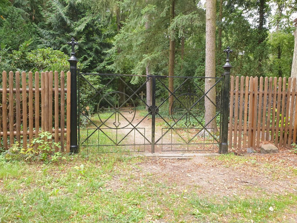
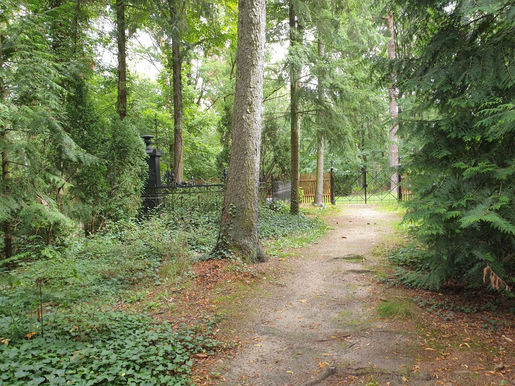
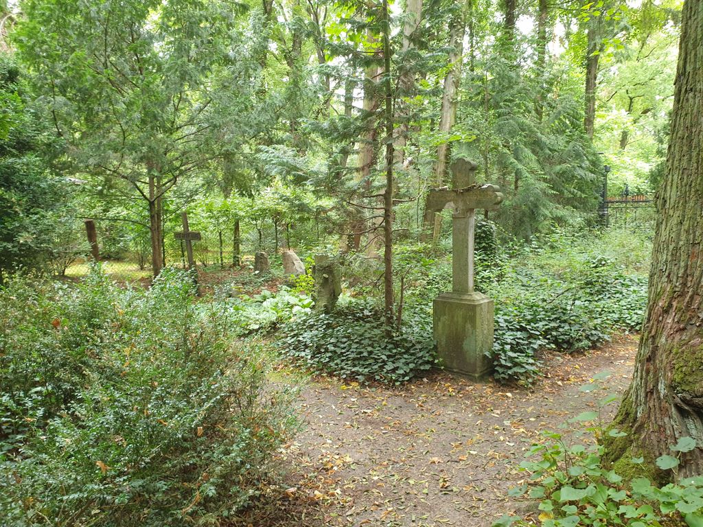
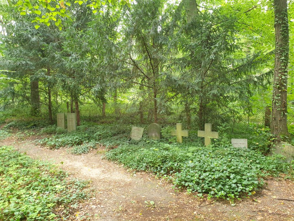
| Description | : | The Pfaueninsel cemetery is a small forest cemetery opposite the Church of St. Peter and Paul in the Düppeler Forest. It's not that easy to find, as you have to walk a bit along the forest path to get to the gate. The path is on the left side of a single building that was once the Nikolskoë Royal Free School. In 1945 the small cemetery was completely destroyed and initially only poorly restored. In the meantime, the modest complex has been repaired by the garden monument maintenance department. The right to be buried in the cemetery is still achieved today... Read More |
frequently asked questions (FAQ):
-
Where is Friedhof der Pfaueninsel am Nikolskoe?
Friedhof der Pfaueninsel am Nikolskoe is located at Nikolskoer Weg Wannsee, Steglitz-Zehlendorf ,Berlin , 14109Germany.
-
Friedhof der Pfaueninsel am Nikolskoe cemetery's updated grave count on graveviews.com?
0 memorials
-
Where are the coordinates of the Friedhof der Pfaueninsel am Nikolskoe?
Latitude: 52.4232064
Longitude: 13.1186031
Nearby Cemetories:
1. St. Peter und Paul auf Nikolskoe
Wannsee, Steglitz-Zehlendorf, Germany
Coordinate: 52.4244440, 13.1191670
2. Prinzenfriedhof Klein-Glienicke
Wannsee, Steglitz-Zehlendorf, Germany
Coordinate: 52.4171810, 13.1001030
3. Friedhof Klein Glienicke
Klein Glienicke, Stadtkreis Potsdam, Germany
Coordinate: 52.4131750, 13.0997759
4. Friedhof Wannsee I - Friedenstrasse
Wannsee, Steglitz-Zehlendorf, Germany
Coordinate: 52.4142265, 13.1408291
5. Friedhof Sacrow
Potsdam, Stadtkreis Potsdam, Germany
Coordinate: 52.4283800, 13.0920600
6. Friedhof Wannsee II - Lindenstrasse
Wannsee, Steglitz-Zehlendorf, Germany
Coordinate: 52.4252243, 13.1538744
7. Friedhof Goethestraße
Potsdam, Stadtkreis Potsdam, Germany
Coordinate: 52.3969700, 13.1054900
8. Evang. Friedhof am Plantagenplatz
Babelsberg, Stadtkreis Potsdam, Germany
Coordinate: 52.3934945, 13.1011823
9. Dorfkirchhof Kladow
Kladow, Spandau, Germany
Coordinate: 52.4526620, 13.1417730
10. Jüdischer Friedhof Pfingstberg
Potsdam, Stadtkreis Potsdam, Germany
Coordinate: 52.4167700, 13.0577300
11. Friedhof vor dem Nauener Tor (Defunct)
Potsdam, Stadtkreis Potsdam, Germany
Coordinate: 52.4074890, 13.0620740
12. Friedhof Großbeerenstraße in Potsdam-Babelsberg
Babelsberg, Stadtkreis Potsdam, Germany
Coordinate: 52.3856519, 13.1002058
13. Soviet War Cemetery
Potsdam, Stadtkreis Potsdam, Germany
Coordinate: 52.4011892, 13.0610859
14. Alter Friedhof
Potsdam, Stadtkreis Potsdam, Germany
Coordinate: 52.3867620, 13.0735090
15. Wilmersdorfer Waldfriedhof Stahnsdorf
Landkreis Potsdam-Mittelmark, Germany
Coordinate: 52.3942100, 13.1808010
16. Neuer Friedhof Potsdam
Potsdam, Stadtkreis Potsdam, Germany
Coordinate: 52.3843750, 13.0712200
17. Friedhof Krampnitz
Krampnitz, Stadtkreis Potsdam, Germany
Coordinate: 52.4582241, 13.0584814
18. Südwestkirchhof Stahnsdorf
Stahnsdorf, Landkreis Potsdam-Mittelmark, Germany
Coordinate: 52.3888893, 13.1805563
19. Friedenskirche
Potsdam, Stadtkreis Potsdam, Germany
Coordinate: 52.4008330, 13.0433330
20. Sanssouci Palace
Potsdam, Stadtkreis Potsdam, Germany
Coordinate: 52.4040730, 13.0397810
21. Friedhof Nikolassee
Nikolassee, Steglitz-Zehlendorf, Germany
Coordinate: 52.4262900, 13.2045100
22. Südwestfriedhof der Berliner Synode Military
Stahnsdorf, Landkreis Potsdam-Mittelmark, Germany
Coordinate: 52.3833313, 13.1752081
23. Südwestfriedhof Berliner Synode Italian Military
Stahnsdorf, Landkreis Potsdam-Mittelmark, Germany
Coordinate: 52.3828000, 13.1766600
24. Wilmersdorfer Waldfriedhof Güterfelde
Landkreis Potsdam-Mittelmark, Germany
Coordinate: 52.3808990, 13.1733360