
| Memorials | : | 245 |
| Location | : | Frye, Oxford County, USA |
| Coordinate | : | 44.6147003, -70.5813980 |
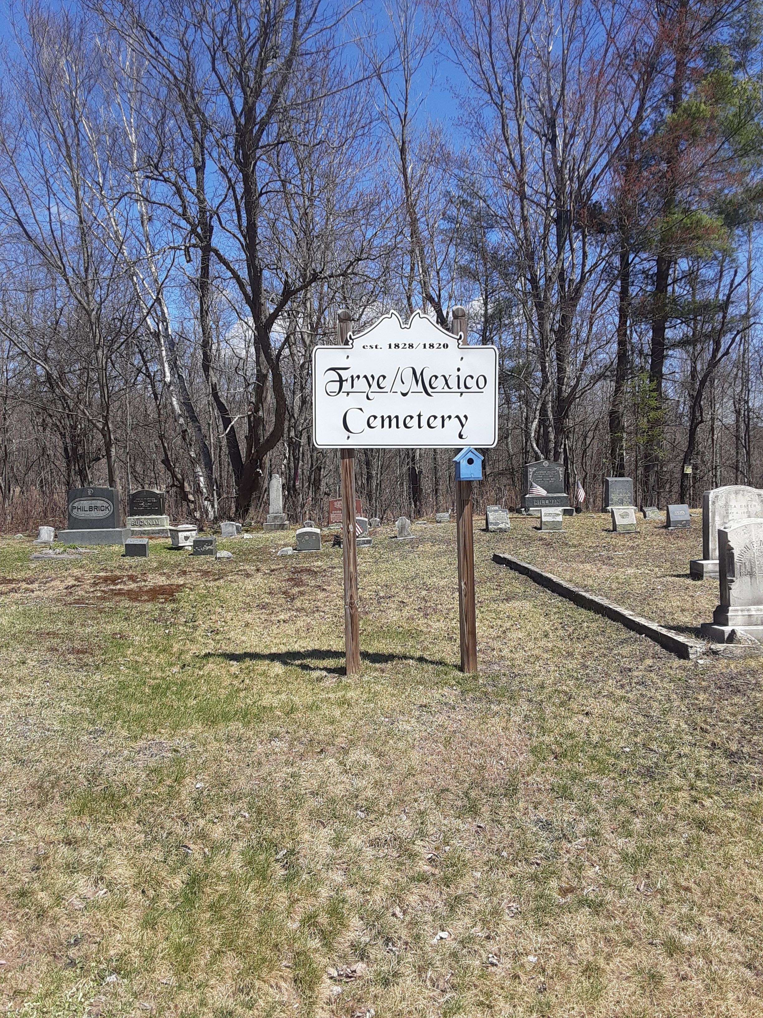
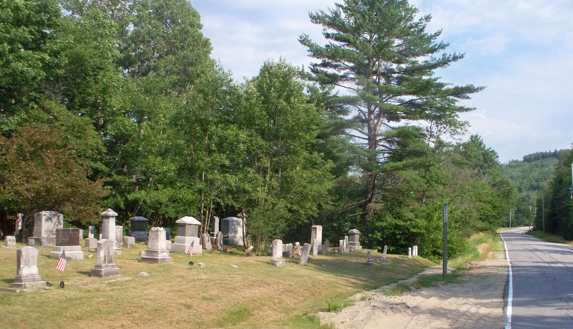
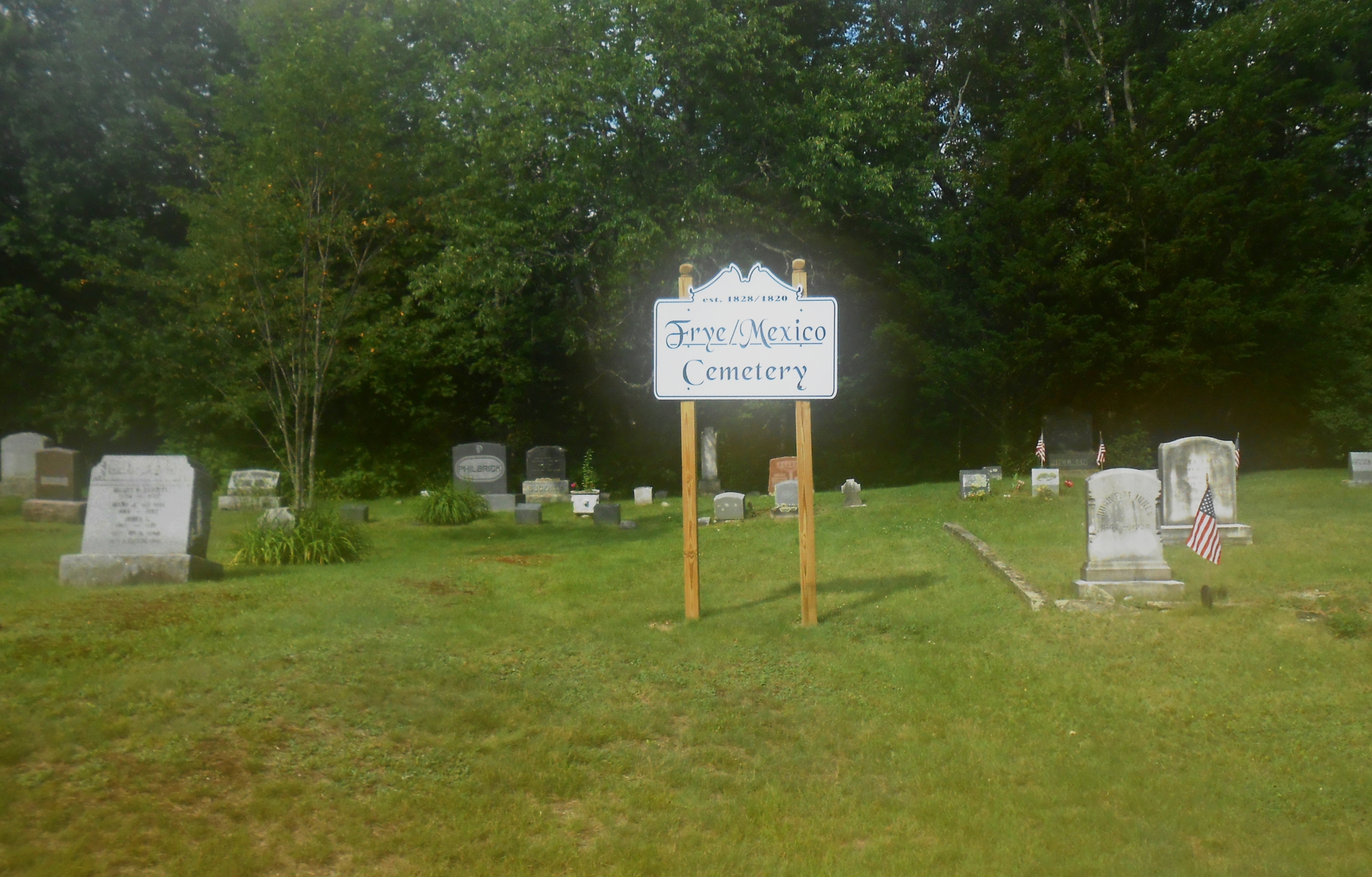
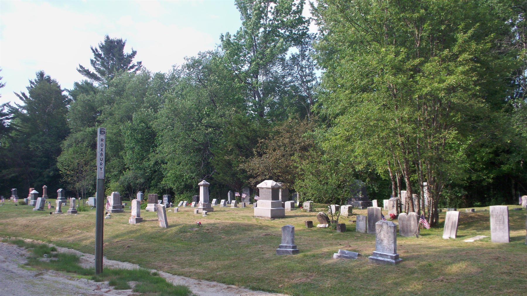
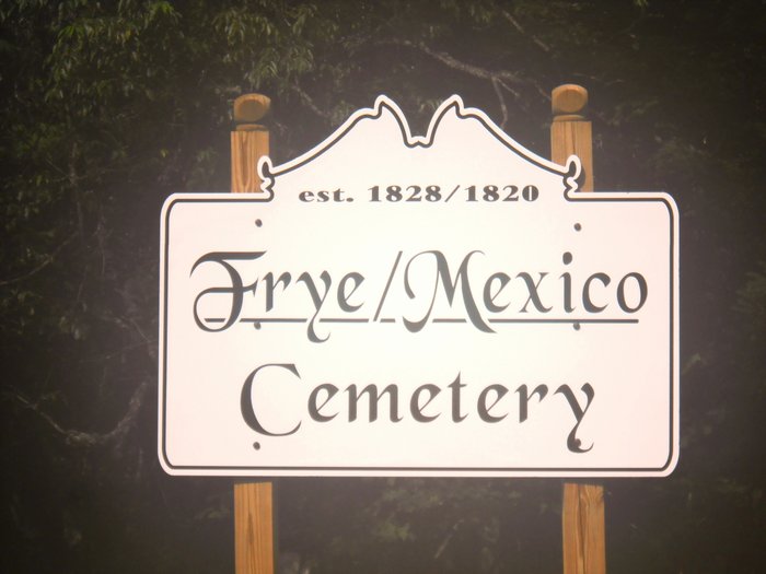
| Description | : | Old Frye Cemetery,, Also Known As West Side Cemetery is an old cemetery on the east side of Swift River Road (Route 120) at the Town Line of Roxbury and Mexico, Maine... just a short distance south of the intersection with Frye Crossover Road. A new sign added in 2013 calls it Frye-Mexico Cemetery. The village of Frye is part of the Town of Roxbury. |
frequently asked questions (FAQ):
-
Where is Frye Mexico Cemetery?
Frye Mexico Cemetery is located at Swift River Road (Route 120) Frye, Oxford County ,Maine ,USA.
-
Frye Mexico Cemetery cemetery's updated grave count on graveviews.com?
245 memorials
-
Where are the coordinates of the Frye Mexico Cemetery?
Latitude: 44.6147003
Longitude: -70.5813980
Nearby Cemetories:
1. Pineview Cemetery
Roxbury, Oxford County, USA
Coordinate: 44.6250620, -70.5806230
2. Saint Johns Cemetery
Rumford, Oxford County, USA
Coordinate: 44.5746994, -70.5702972
3. Glover Cemetery
Rumford, Oxford County, USA
Coordinate: 44.5753000, -70.5975000
4. Roxbury Village Cemetery
Roxbury, Oxford County, USA
Coordinate: 44.6694460, -70.5941320
5. Baptist Church Cemetery
Mexico, Oxford County, USA
Coordinate: 44.5588875, -70.5436401
6. Porter Cemetery
Rumford, Oxford County, USA
Coordinate: 44.5557594, -70.5507126
7. Newman Cemetery
Carthage, Franklin County, USA
Coordinate: 44.6324997, -70.4760971
8. Farmers Hill Cemetery
Andover, Oxford County, USA
Coordinate: 44.5849991, -70.6841965
9. Sunnyside Terrace Cemetery
Rumford, Oxford County, USA
Coordinate: 44.5257988, -70.5541992
10. LPK Lithuanian National Independent Cemetery
Mexico, Oxford County, USA
Coordinate: 44.5371741, -70.5134153
11. Farrington-Morton Cemetery
Mexico, Oxford County, USA
Coordinate: 44.5367012, -70.5136032
12. Berry Mills Cemetery
Carthage, Franklin County, USA
Coordinate: 44.6252400, -70.4506900
13. Pressey Cemetery
Byron, Oxford County, USA
Coordinate: 44.6789017, -70.6793976
14. East Rumford Cemetery
Rumford, Oxford County, USA
Coordinate: 44.5203018, -70.5558014
15. East Ellis Cemetery
Rumford, Oxford County, USA
Coordinate: 44.5331001, -70.6669006
16. Rumford Center Cemetery
Rumford Center, Oxford County, USA
Coordinate: 44.5128288, -70.6126785
17. Upper West Ellis Cemetery
Rumford, Oxford County, USA
Coordinate: 44.5456009, -70.6941986
18. Wyman Cemetery
Rumford, Oxford County, USA
Coordinate: 44.5196991, -70.5152969
19. West Ellis Cemetery
Rumford, Oxford County, USA
Coordinate: 44.5372009, -70.6832962
20. Storer Hill Cemetery
Franklin County, USA
Coordinate: 44.6216888, -70.4202194
21. Woodlawn Cemetery
Andover, Oxford County, USA
Coordinate: 44.6222000, -70.7444000
22. Robertson Cemetery
Weld, Franklin County, USA
Coordinate: 44.7073000, -70.4780330
23. Greenwood Cemetery
Dixfield, Oxford County, USA
Coordinate: 44.5377100, -70.4546800
24. Demerritt Cemetery
West Peru, Oxford County, USA
Coordinate: 44.5256004, -70.4627991