
| Memorials | : | 101 |
| Location | : | Roxbury, Oxford County, USA |
| Coordinate | : | 44.6694460, -70.5941320 |
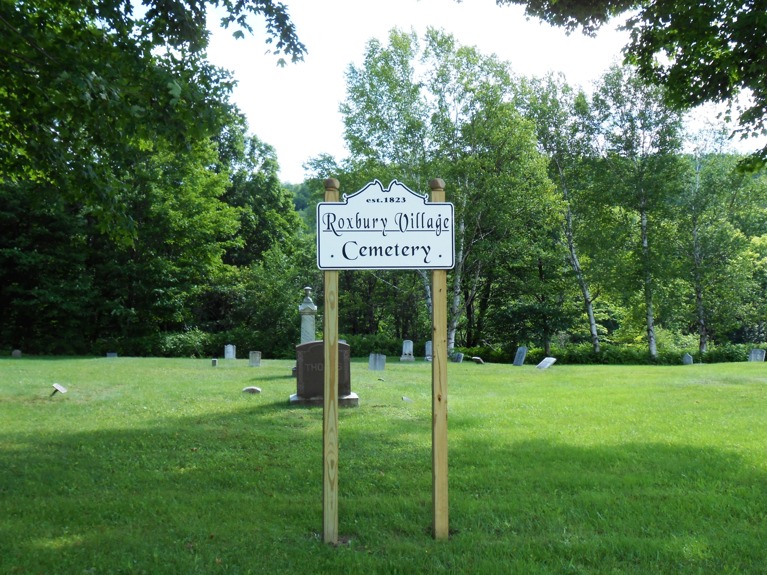
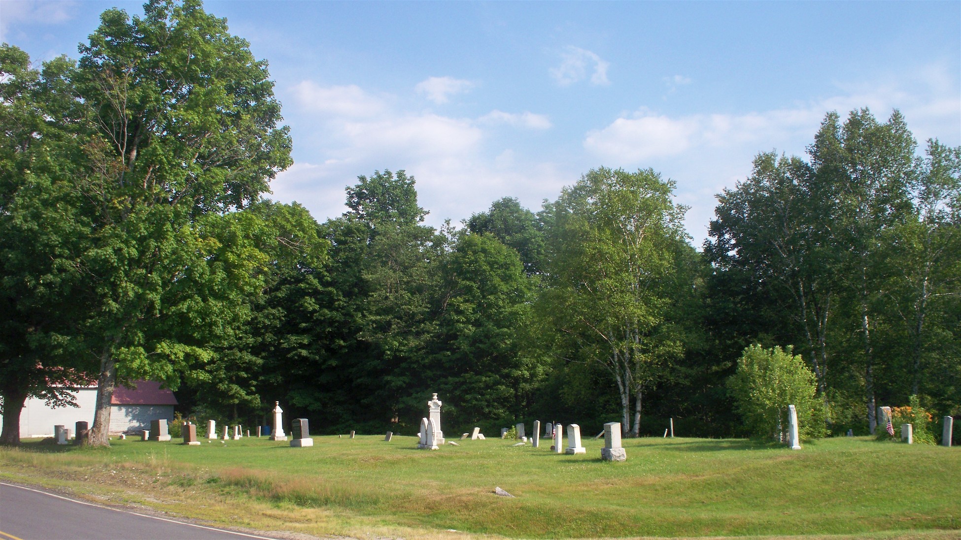
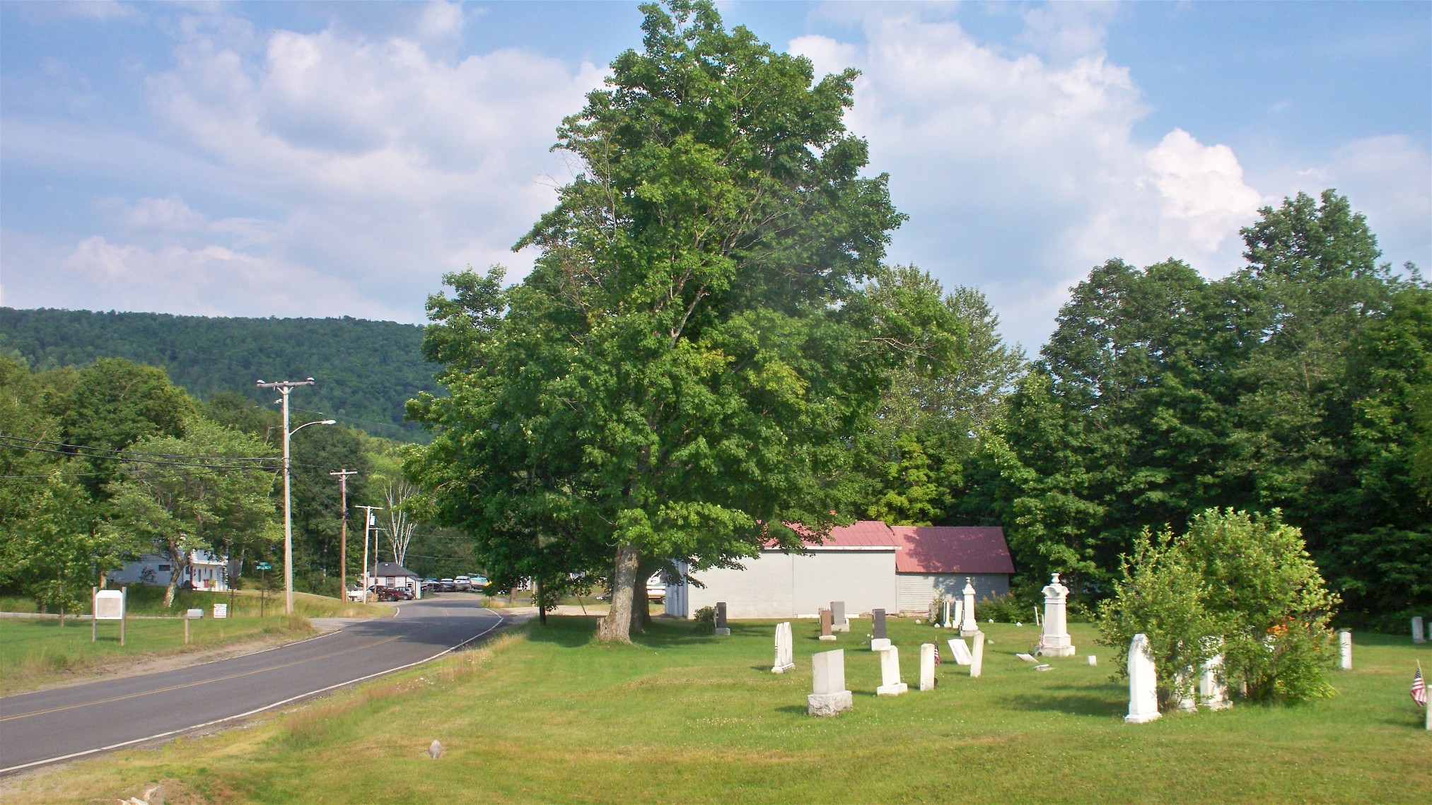
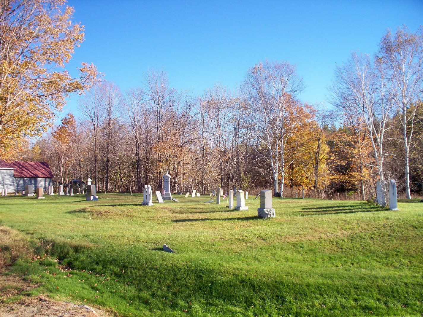
| Description | : | Roxbury Village Cemetery is a small cemetery along the west side of Roxbury Road (Route 17) opposite the intersection with Canwell Hill Road in Roxbury, Oxford County, Maine. |
frequently asked questions (FAQ):
-
Where is Roxbury Village Cemetery?
Roxbury Village Cemetery is located at Roxury Road (Route 17) Roxbury, Oxford County ,Maine , 04275USA.
-
Roxbury Village Cemetery cemetery's updated grave count on graveviews.com?
101 memorials
-
Where are the coordinates of the Roxbury Village Cemetery?
Latitude: 44.6694460
Longitude: -70.5941320
Nearby Cemetories:
1. Pineview Cemetery
Roxbury, Oxford County, USA
Coordinate: 44.6250620, -70.5806230
2. Frye Mexico Cemetery
Frye, Oxford County, USA
Coordinate: 44.6147003, -70.5813980
3. Pressey Cemetery
Byron, Oxford County, USA
Coordinate: 44.6789017, -70.6793976
4. Buckfield Hill Cemetery
Byron, Oxford County, USA
Coordinate: 44.7420998, -70.6200333
5. Stockbridge Cemetery
Byron, Oxford County, USA
Coordinate: 44.7155991, -70.6921997
6. Mountain View Cemetery
Weld, Franklin County, USA
Coordinate: 44.7268940, -70.4979680
7. Robertson Cemetery
Weld, Franklin County, USA
Coordinate: 44.7073000, -70.4780330
8. Newman Cemetery
Carthage, Franklin County, USA
Coordinate: 44.6324997, -70.4760971
9. Glover Cemetery
Rumford, Oxford County, USA
Coordinate: 44.5753000, -70.5975000
10. Saint Johns Cemetery
Rumford, Oxford County, USA
Coordinate: 44.5746994, -70.5702972
11. Farmers Hill Cemetery
Andover, Oxford County, USA
Coordinate: 44.5849991, -70.6841965
12. Berry Mills Cemetery
Carthage, Franklin County, USA
Coordinate: 44.6252400, -70.4506900
13. Baptist Church Cemetery
Mexico, Oxford County, USA
Coordinate: 44.5588875, -70.5436401
14. Woodlawn Cemetery
Andover, Oxford County, USA
Coordinate: 44.6222000, -70.7444000
15. Porter Cemetery
Rumford, Oxford County, USA
Coordinate: 44.5557594, -70.5507126
16. Center Hill Cemetery
Weld, Franklin County, USA
Coordinate: 44.7165000, -70.4214200
17. Storer Hill Cemetery
Franklin County, USA
Coordinate: 44.6216888, -70.4202194
18. Upper West Ellis Cemetery
Rumford, Oxford County, USA
Coordinate: 44.5456009, -70.6941986
19. Masterman-Webster Cemetery
Chase Corner, Franklin County, USA
Coordinate: 44.7431755, -70.4213333
20. LPK Lithuanian National Independent Cemetery
Mexico, Oxford County, USA
Coordinate: 44.5371741, -70.5134153
21. Farrington-Morton Cemetery
Mexico, Oxford County, USA
Coordinate: 44.5367012, -70.5136032
22. East Ellis Cemetery
Rumford, Oxford County, USA
Coordinate: 44.5331001, -70.6669006
23. Sunnyside Terrace Cemetery
Rumford, Oxford County, USA
Coordinate: 44.5257988, -70.5541992
24. West Ellis Cemetery
Rumford, Oxford County, USA
Coordinate: 44.5372009, -70.6832962