
| Memorials | : | 19 |
| Location | : | Andover, Oxford County, USA |
| Coordinate | : | 44.6222000, -70.7444000 |
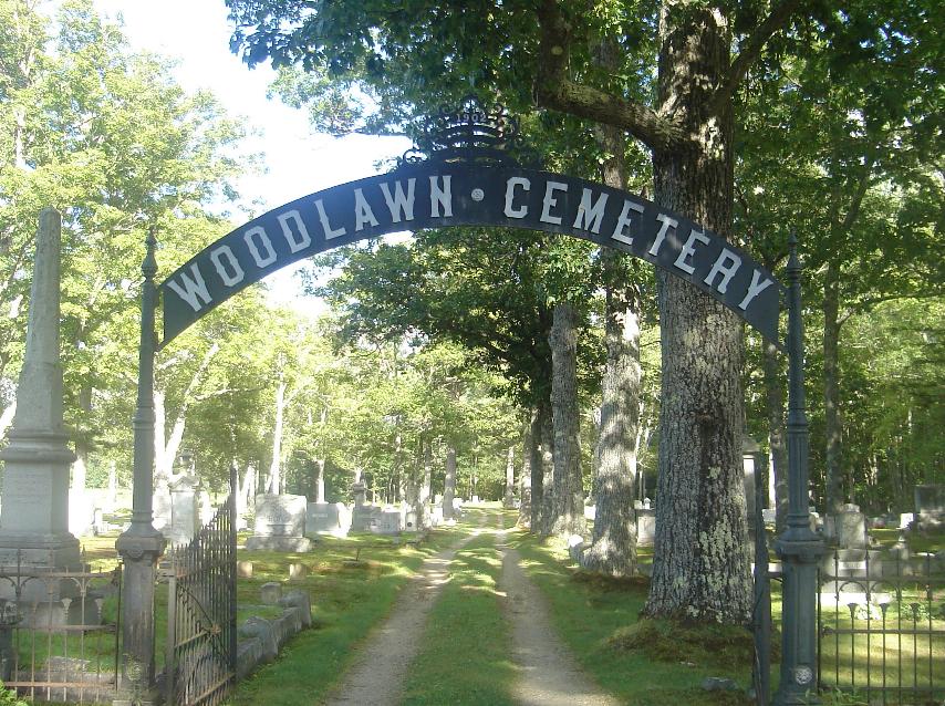
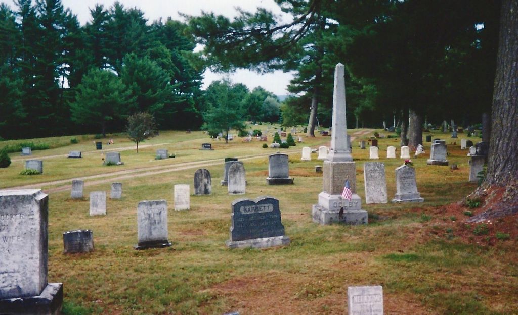
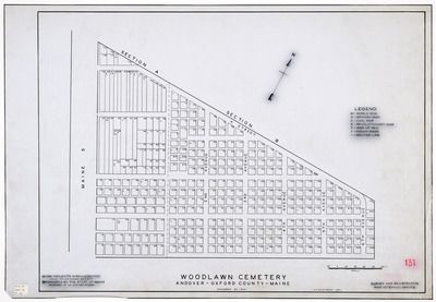
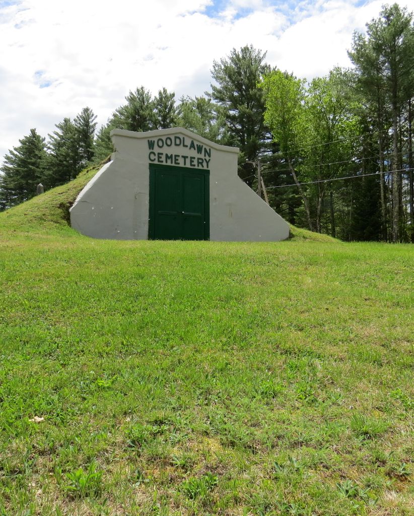
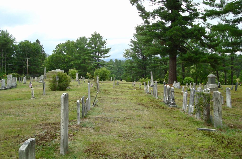
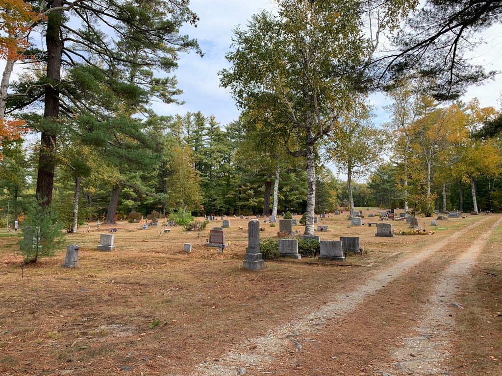
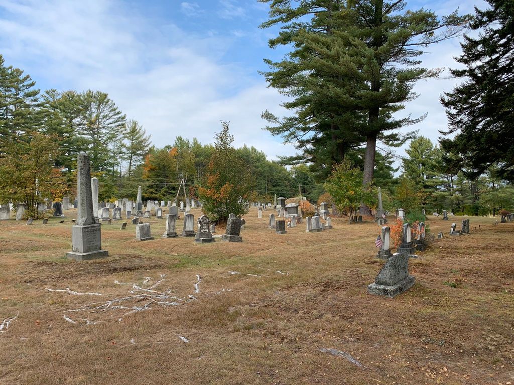
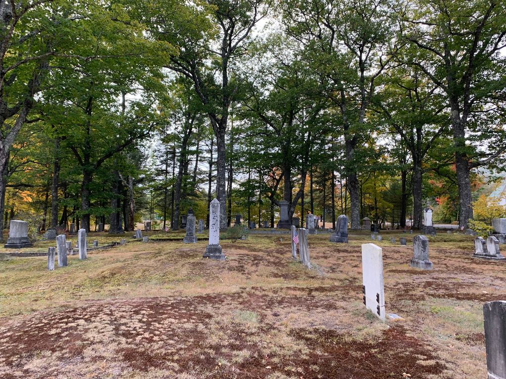
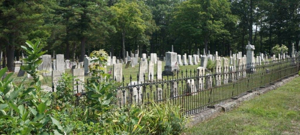
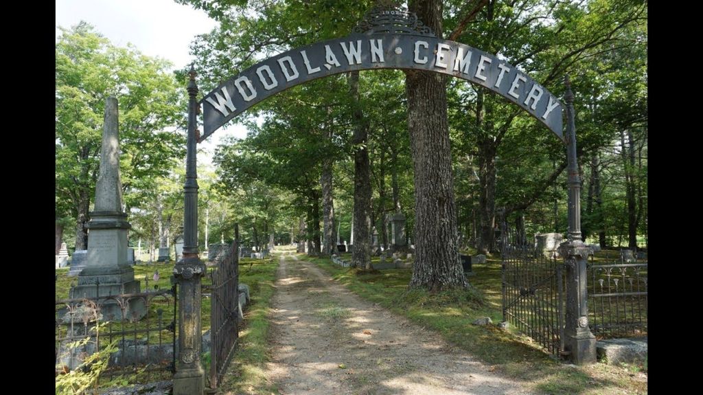
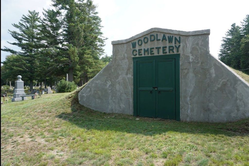
| Description | : | The old part cemetery has burials from 1801 and an occasional one in the 1990s. The old part of the cemetery is adjacent to Main Street/Route 5 from the vault south about to halfway between B and C Streets, and from C Street south to D Street, which is the southern boundary, and goes back to the first cross street, which is 1st Avenue. Most of the early settlers are buried here, including Susan Adams, whose tombstone reads, "She was the first person to be buried in this Yard;" Ezekiel Merrill, first settler of Andover; Mollocket, local Indian woman... Read More |
frequently asked questions (FAQ):
-
Where is Woodlawn Cemetery?
Woodlawn Cemetery is located at Andover, Oxford County ,Maine ,USA.
-
Woodlawn Cemetery cemetery's updated grave count on graveviews.com?
17 memorials
-
Where are the coordinates of the Woodlawn Cemetery?
Latitude: 44.6222000
Longitude: -70.7444000

Nearby Cemetories:
1. Farmers Hill Cemetery
Andover, Oxford County, USA
Coordinate: 44.5849991, -70.6841965
2. Pressey Cemetery
Byron, Oxford County, USA
Coordinate: 44.6789017, -70.6793976
3. Upper West Ellis Cemetery
Rumford, Oxford County, USA
Coordinate: 44.5456009, -70.6941986
4. Surplus Cemetery
Andover, Oxford County, USA
Coordinate: 44.6487045, -70.8715363
5. West Ellis Cemetery
Rumford, Oxford County, USA
Coordinate: 44.5372009, -70.6832962
6. Stockbridge Cemetery
Byron, Oxford County, USA
Coordinate: 44.7155991, -70.6921997
7. Head of Tide Cemetery
Newry, Oxford County, USA
Coordinate: 44.5682424, -70.8634963
8. East Ellis Cemetery
Rumford, Oxford County, USA
Coordinate: 44.5331001, -70.6669006
9. Glover Cemetery
Rumford, Oxford County, USA
Coordinate: 44.5753000, -70.5975000
10. Frye Mexico Cemetery
Frye, Oxford County, USA
Coordinate: 44.6147003, -70.5813980
11. Pineview Cemetery
Roxbury, Oxford County, USA
Coordinate: 44.6250620, -70.5806230
12. Roxbury Village Cemetery
Roxbury, Oxford County, USA
Coordinate: 44.6694460, -70.5941320
13. Old Powers Cemetery
Newry, Oxford County, USA
Coordinate: 44.5031013, -70.8178024
14. Rumford Point Cemetery
Rumford Point, Oxford County, USA
Coordinate: 44.5020760, -70.6725600
15. Saint Johns Cemetery
Rumford, Oxford County, USA
Coordinate: 44.5746994, -70.5702972
16. Rumford Corner Cemetery
Rumford Corner, Oxford County, USA
Coordinate: 44.4955200, -70.6762500
17. Black Family Cemetery
Newry, Oxford County, USA
Coordinate: 44.4889670, -70.7895730
18. Hanover Cemetery
Hanover, Oxford County, USA
Coordinate: 44.4850006, -70.7332993
19. Bartlett Cemetery
East Bethel, Oxford County, USA
Coordinate: 44.4817009, -70.7433014
20. Rumford Center Cemetery
Rumford Center, Oxford County, USA
Coordinate: 44.5128288, -70.6126785
21. Buckfield Hill Cemetery
Byron, Oxford County, USA
Coordinate: 44.7420998, -70.6200333
22. Sunday River Cemetery
Newry, Oxford County, USA
Coordinate: 44.4888992, -70.8431015
23. Grafton Cemetery
Oxford County, USA
Coordinate: 44.6448686, -70.9562422
24. Porter Cemetery
Rumford, Oxford County, USA
Coordinate: 44.5557594, -70.5507126