| Memorials | : | 0 |
| Location | : | Rumford, Oxford County, USA |
| Coordinate | : | 44.5456009, -70.6941986 |
frequently asked questions (FAQ):
-
Where is Upper West Ellis Cemetery?
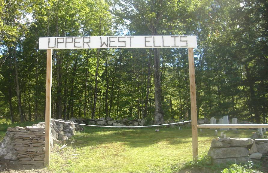
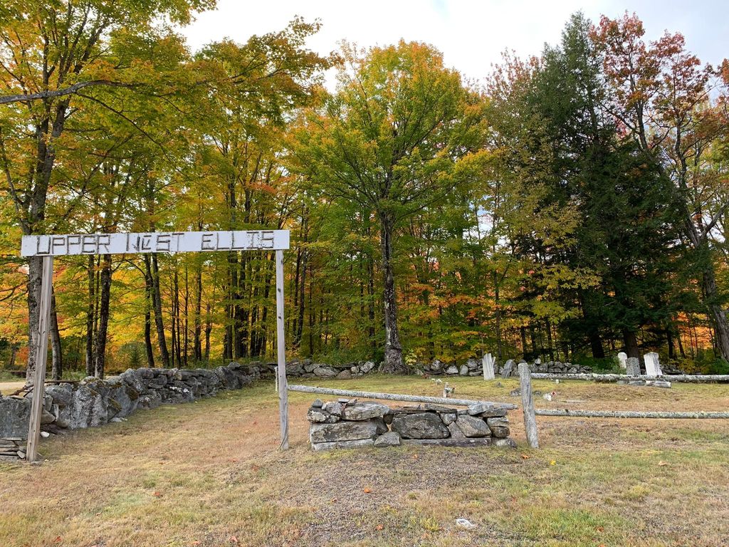
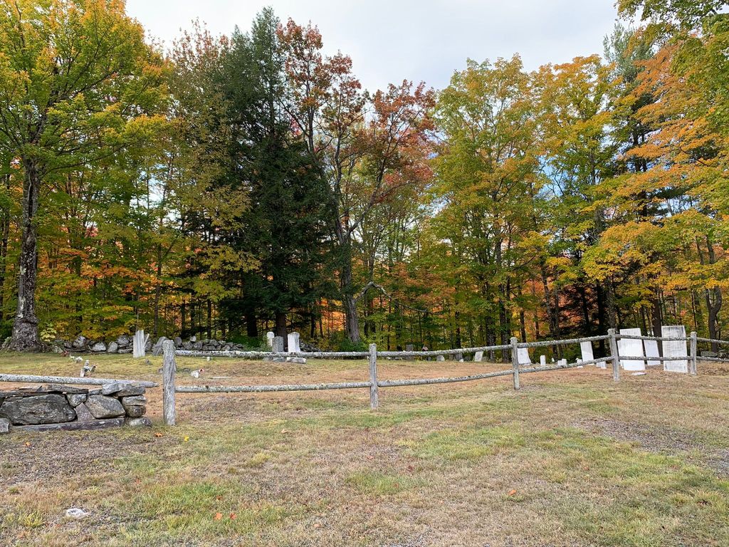
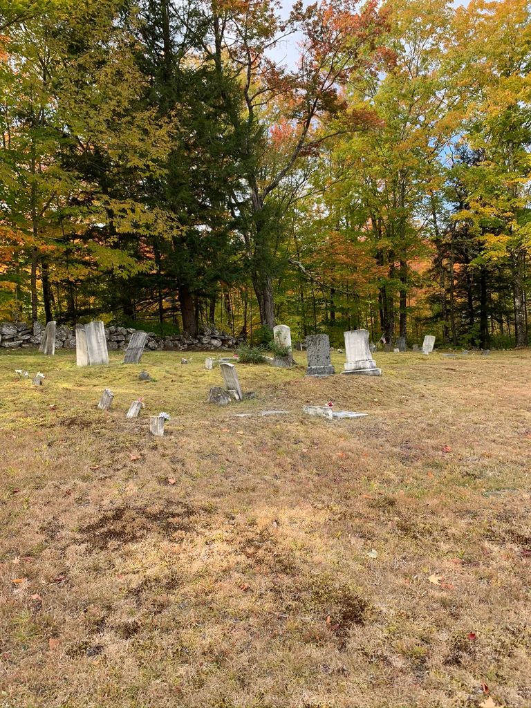
Upper West Ellis Cemetery is located at Rumford, Oxford County ,Maine ,USA.
-
Upper West Ellis Cemetery cemetery's updated grave count on graveviews.com?
0 memorials
-
Where are the coordinates of the Upper West Ellis Cemetery?
Latitude: 44.5456009
Longitude: -70.6941986
Nearby Cemetories:
1. West Ellis Cemetery
Rumford, Oxford County, USA
Coordinate: 44.5372009, -70.6832962
2. East Ellis Cemetery
Rumford, Oxford County, USA
Coordinate: 44.5331001, -70.6669006
3. Farmers Hill Cemetery
Andover, Oxford County, USA
Coordinate: 44.5849991, -70.6841965
4. Rumford Point Cemetery
Rumford Point, Oxford County, USA
Coordinate: 44.5020760, -70.6725600
5. Rumford Corner Cemetery
Rumford Corner, Oxford County, USA
Coordinate: 44.4955200, -70.6762500
6. Hanover Cemetery
Hanover, Oxford County, USA
Coordinate: 44.4850006, -70.7332993
7. Rumford Center Cemetery
Rumford Center, Oxford County, USA
Coordinate: 44.5128288, -70.6126785
8. Bartlett Cemetery
East Bethel, Oxford County, USA
Coordinate: 44.4817009, -70.7433014
9. Glover Cemetery
Rumford, Oxford County, USA
Coordinate: 44.5753000, -70.5975000
10. Abbott Mills Cemetery
Rumford, Oxford County, USA
Coordinate: 44.4750600, -70.6391900
11. East Bethel Cemetery
East Bethel, Oxford County, USA
Coordinate: 44.4648500, -70.7210200
12. Woodlawn Cemetery
Andover, Oxford County, USA
Coordinate: 44.6222000, -70.7444000
13. Black Family Cemetery
Newry, Oxford County, USA
Coordinate: 44.4889670, -70.7895730
14. Saint Johns Cemetery
Rumford, Oxford County, USA
Coordinate: 44.5746994, -70.5702972
15. Old Powers Cemetery
Newry, Oxford County, USA
Coordinate: 44.5031013, -70.8178024
16. Sunnyside Terrace Cemetery
Rumford, Oxford County, USA
Coordinate: 44.5257988, -70.5541992
17. East Rumford Cemetery
Rumford, Oxford County, USA
Coordinate: 44.5203018, -70.5558014
18. Porter Cemetery
Rumford, Oxford County, USA
Coordinate: 44.5557594, -70.5507126
19. Middle Intervale Cemetery
Bethel, Oxford County, USA
Coordinate: 44.4638600, -70.7866200
20. Frye Mexico Cemetery
Frye, Oxford County, USA
Coordinate: 44.6147003, -70.5813980
21. Baptist Church Cemetery
Mexico, Oxford County, USA
Coordinate: 44.5588875, -70.5436401
22. Greenleaf Cemetery
Milton, Oxford County, USA
Coordinate: 44.4578018, -70.6016998
23. Chandler Hill Cemetery
Bethel, Oxford County, USA
Coordinate: 44.4392014, -70.7394028
24. Mount Will Cemetery
North Bethel, Oxford County, USA
Coordinate: 44.4636002, -70.8028030


