
| Memorials | : | 5 |
| Location | : | Johnson County, USA |
| Coordinate | : | 41.5718000, -91.7355000 |
frequently asked questions (FAQ):
-
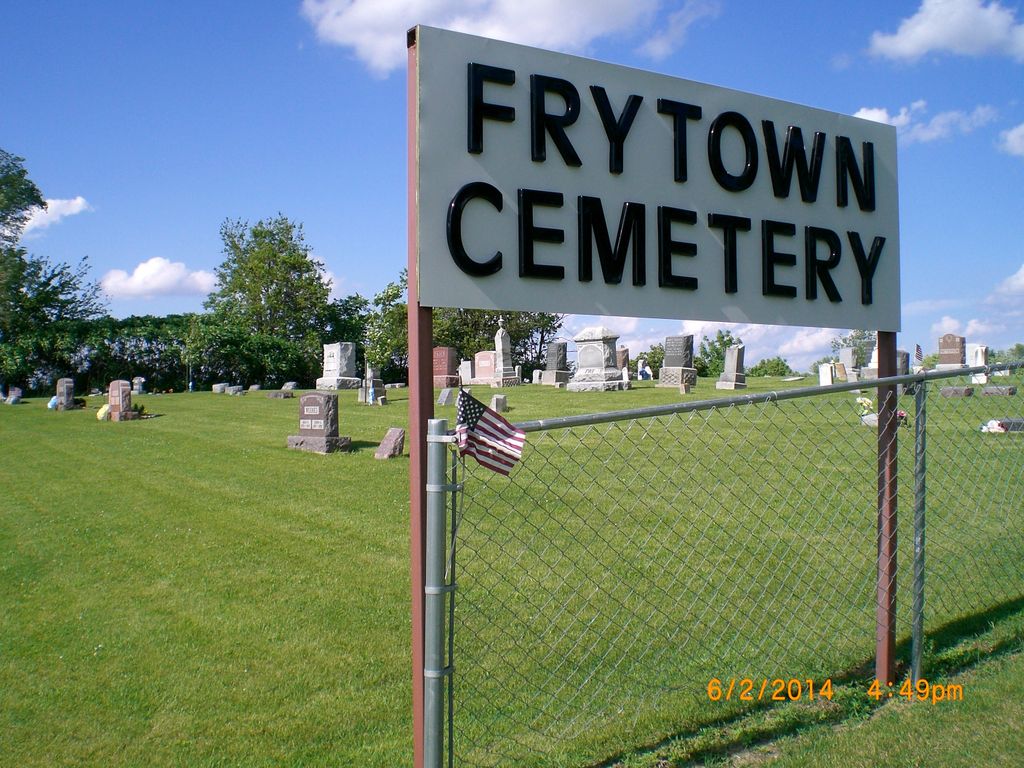
Where is Frytown Cemetery?
Frytown Cemetery is located at 1976 Angle Road SW Johnson County ,Iowa ,USA.
-
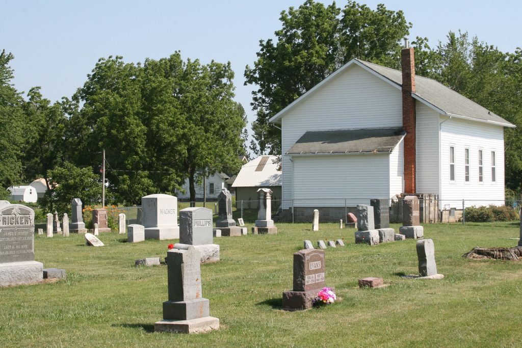
Frytown Cemetery cemetery's updated grave count on graveviews.com?
4 memorials
-
Where are the coordinates of the Frytown Cemetery?
Latitude: 41.5718000
Longitude: -91.7355000


Nearby Cemetories:
1. Haven Cemetery
Johnson County, USA
Coordinate: 41.5558080, -91.7320500
2. Graper Farm Cemetery
Iowa City, Johnson County, USA
Coordinate: 41.5904360, -91.7317740
3. Sharon Bethel Cemetery
Williamstown, Johnson County, USA
Coordinate: 41.5558000, -91.7086000
4. Angels Rest Cemetery
Washington Township, Johnson County, USA
Coordinate: 41.5896000, -91.7648000
5. North Gingerich Sharon Cemetery
Johnson County, USA
Coordinate: 41.5553017, -91.7024994
6. Saint Peters Cemetery
Windham, Johnson County, USA
Coordinate: 41.6091995, -91.7407990
7. Hummer Cemetery
Johnson County, USA
Coordinate: 41.5974998, -91.6941986
8. John Helmuth Cemetery
Sharon Center, Johnson County, USA
Coordinate: 41.5583870, -91.6764660
9. Windham Cemetery
Johnson County, USA
Coordinate: 41.6116982, -91.7667007
10. Wertz Cemetery
Amish, Johnson County, USA
Coordinate: 41.5486500, -91.7939000
11. East Union Mennonite Cemetery
Sharon Center, Johnson County, USA
Coordinate: 41.5258179, -91.7049484
12. Saint John Lutheran Cemetery
Sharon Center, Johnson County, USA
Coordinate: 41.5542000, -91.6678000
13. Pleasant Hill Cemetery
Johnson County, USA
Coordinate: 41.5346170, -91.7884060
14. Fairview Mennonite Cemetery
Johnson County, USA
Coordinate: 41.5396000, -91.6751000
15. Bethel Cemetery
Johnson County, USA
Coordinate: 41.5835991, -91.8082962
16. Lower Deer Creek Cemetery
Johnson County, USA
Coordinate: 41.5381012, -91.7985992
17. Brenneman Cemetery
Amish, Johnson County, USA
Coordinate: 41.5166702, -91.7611084
18. Sharon Center Cemetery
Johnson County, USA
Coordinate: 41.5543000, -91.6555000
19. Eash Cemetery
Johnson County, USA
Coordinate: 41.5800018, -91.6519012
20. Peter Miller Cemetery
Johnson County, USA
Coordinate: 41.5214005, -91.6813965
21. South Gingerich Mennonite Cemetery
Kalona, Washington County, USA
Coordinate: 41.5076294, -91.7227936
22. Yoder Family Cemetery
Sharon Center, Johnson County, USA
Coordinate: 41.5666832, -91.6460017
23. Schottler Cemetery
Amish, Johnson County, USA
Coordinate: 41.5348950, -91.8118270
24. Saint Peters Cemetery
Cosgrove, Johnson County, USA
Coordinate: 41.6399994, -91.7369003