| Memorials | : | 823 |
| Location | : | Sharon Center, Johnson County, USA |
| Coordinate | : | 41.5258179, -91.7049484 |
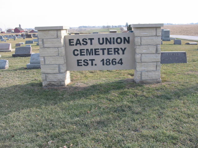
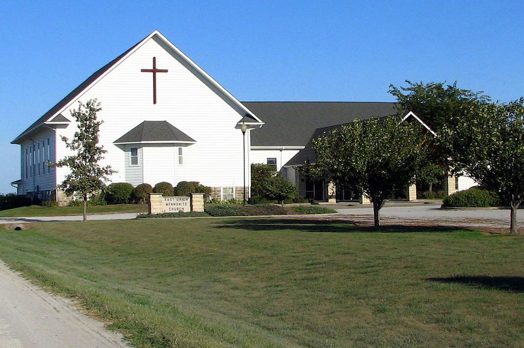
| Description | : | This cemetery was first called the Shetler Cemetery. It was established in 1864 when the second son of Emanuel P. and Lydia (Schoettler) Hershberger died at age six months. John was buried in the corner of a field that Lydia's brother, Joseph Shetler (Schoettler), owned. When it became the property of the East Union Mennonite Church, its name was changed. It is located across the road from the church and is used by Amish and Mennonite Churches. It is 3 miles north and 1/2 mile east of Kalona, Iowa. Numbering begins at the northwest corner. Plats begin at the... Read More |
frequently asked questions (FAQ):
-
Where is East Union Mennonite Cemetery?
East Union Mennonite Cemetery is located at Sharon Center, Johnson County ,Iowa ,USA.
-
East Union Mennonite Cemetery cemetery's updated grave count on graveviews.com?
817 memorials
-
Where are the coordinates of the East Union Mennonite Cemetery?
Latitude: 41.5258179
Longitude: -91.7049484
Nearby Cemetories:
1. Peter Miller Cemetery
Johnson County, USA
Coordinate: 41.5214005, -91.6813965
2. South Gingerich Mennonite Cemetery
Kalona, Washington County, USA
Coordinate: 41.5076294, -91.7227936
3. Fairview Mennonite Cemetery
Johnson County, USA
Coordinate: 41.5396000, -91.6751000
4. Snider Cemetery
Kalona, Washington County, USA
Coordinate: 41.4997386, -91.7196131
5. North Gingerich Sharon Cemetery
Johnson County, USA
Coordinate: 41.5553017, -91.7024994
6. Sharon Bethel Cemetery
Williamstown, Johnson County, USA
Coordinate: 41.5558000, -91.7086000
7. Sharon Hill Cemetery
Kalona, Washington County, USA
Coordinate: 41.4928017, -91.7071991
8. Moses P Miller Cemetery
Kalona, Washington County, USA
Coordinate: 41.4929610, -91.6960140
9. Haven Cemetery
Johnson County, USA
Coordinate: 41.5558080, -91.7320500
10. John Helmuth Cemetery
Sharon Center, Johnson County, USA
Coordinate: 41.5583870, -91.6764660
11. Saint John Lutheran Cemetery
Sharon Center, Johnson County, USA
Coordinate: 41.5542000, -91.6678000
12. Brenneman Cemetery
Amish, Johnson County, USA
Coordinate: 41.5166702, -91.7611084
13. Sharon Center Cemetery
Johnson County, USA
Coordinate: 41.5543000, -91.6555000
14. Middleburg Cemetery
Kalona, Washington County, USA
Coordinate: 41.4907990, -91.6613998
15. Frytown Cemetery
Johnson County, USA
Coordinate: 41.5718000, -91.7355000
16. Sharon Cemetery
Johnson County, USA
Coordinate: 41.5402000, -91.6370000
17. Coffman Cemetery
English River Township, Washington County, USA
Coordinate: 41.4889045, -91.7585030
18. Yoder Family Cemetery
Sharon Center, Johnson County, USA
Coordinate: 41.5666832, -91.6460017
19. Pleasant Hill Cemetery
Johnson County, USA
Coordinate: 41.5346170, -91.7884060
20. Eash Cemetery
Johnson County, USA
Coordinate: 41.5800018, -91.6519012
21. Graper Farm Cemetery
Iowa City, Johnson County, USA
Coordinate: 41.5904360, -91.7317740
22. Shiloh Nutmeg Cemetery
Kalona, Washington County, USA
Coordinate: 41.4581300, -91.7020800
23. Wertz Cemetery
Amish, Johnson County, USA
Coordinate: 41.5486500, -91.7939000
24. Lower Deer Creek Cemetery
Johnson County, USA
Coordinate: 41.5381012, -91.7985992


