| Memorials | : | 0 |
| Location | : | Gold Canyon, Pinal County, USA |
| Phone | : | 480-982-3776 |
| Website | : | goldcanyonumc.org |
| Coordinate | : | 33.3543840, -111.4559350 |
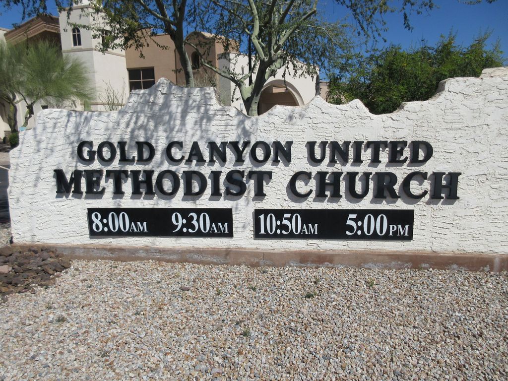
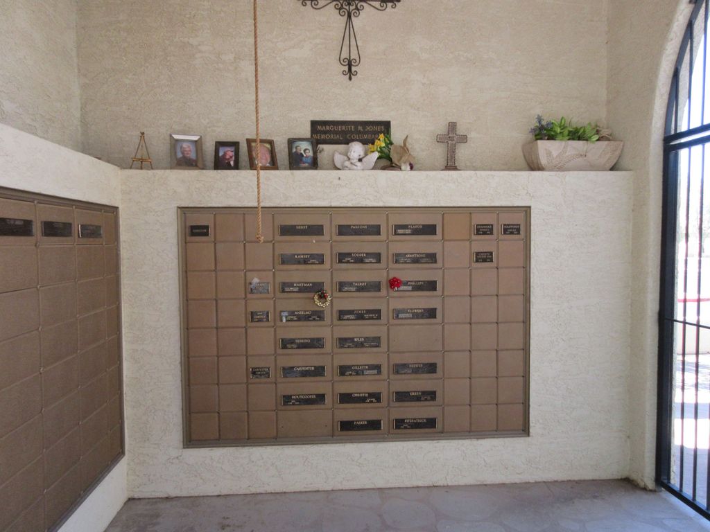
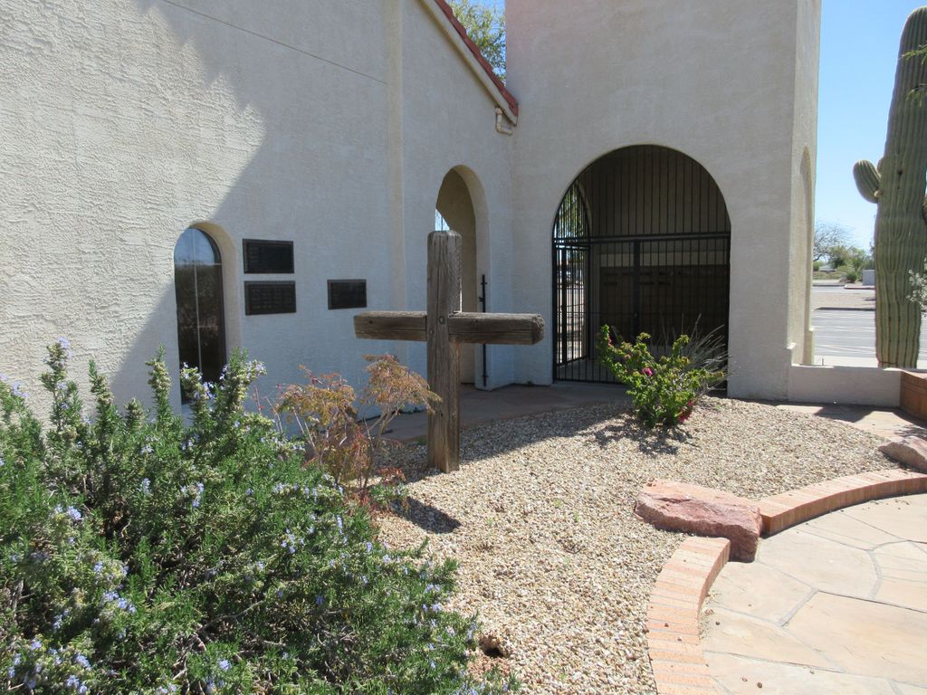
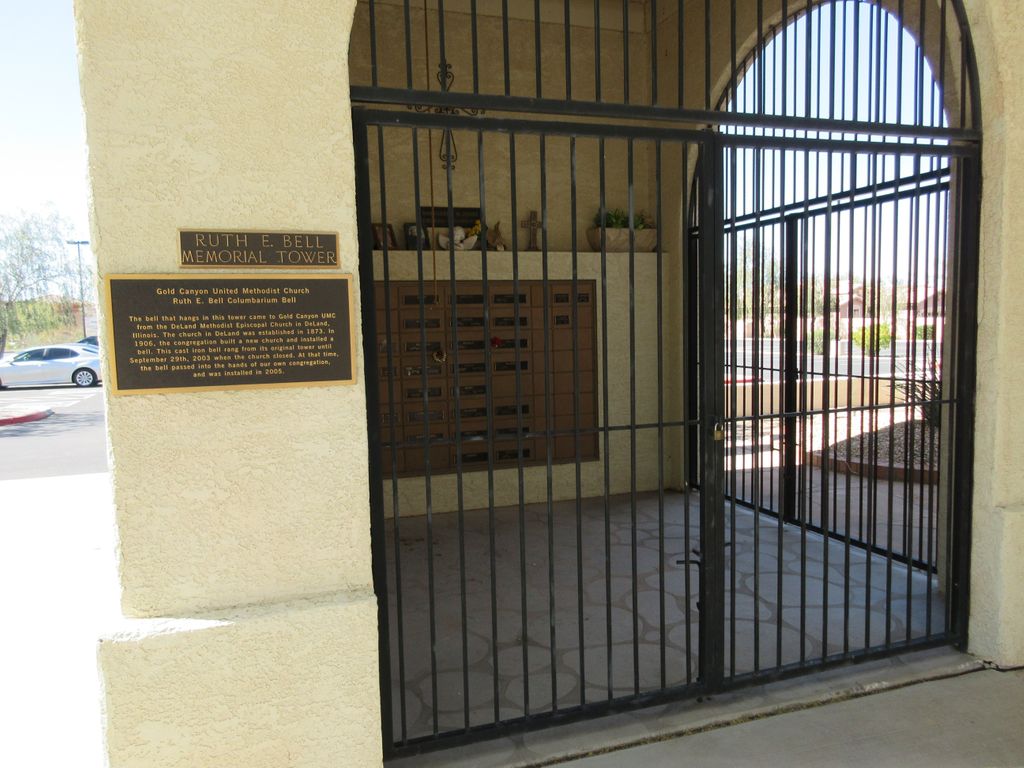
| Description | : | Located in the lovely town of Gold Canyon, Arizona, the United Methodist Church has a columbarium inside a bell tower, along with a memorial garden for the spreading of ashes. The columbarium is accessible through a locked gate, but easily visible from outside the gate. The memorial garden is beyond a gate that is not kept locked. |
frequently asked questions (FAQ):
-
Where is Gold Canyon UMC Columbarium and Memorial Garden?
Gold Canyon UMC Columbarium and Memorial Garden is located at 6640 S Kings Ranch Rd. Gold Canyon, Pinal County ,Arizona , 85118USA.
-
Gold Canyon UMC Columbarium and Memorial Garden cemetery's updated grave count on graveviews.com?
0 memorials
-
Where are the coordinates of the Gold Canyon UMC Columbarium and Memorial Garden?
Latitude: 33.3543840
Longitude: -111.4559350
Nearby Cemetories:
1. Our Saviors Lutheran Church Columbarium
Gold Canyon, Pinal County, USA
Coordinate: 33.3666190, -111.4320720
2. Mountain View Lutheran Church Columbarium
Apache Junction, Pinal County, USA
Coordinate: 33.3952940, -111.5119390
3. Goldfield Ghost Town Cemetery
Apache Junction, Pinal County, USA
Coordinate: 33.4560700, -111.4922390
4. Church of the Transfiguration Columbarium
Mesa, Maricopa County, USA
Coordinate: 33.4061240, -111.5898330
5. San Tan Memorial Gardens
Queen Creek, Maricopa County, USA
Coordinate: 33.2267900, -111.5981100
6. Mountain View Funeral Home and Cemetery
Mesa, Maricopa County, USA
Coordinate: 33.4160995, -111.6603012
7. Mariposa Gardens Memorial Park
Mesa, Maricopa County, USA
Coordinate: 33.4081760, -111.6860250
8. Presbyterian Church of the Master Columbarium
Mesa, Maricopa County, USA
Coordinate: 33.4220990, -111.6879280
9. Love of Christ Lutheran Church Columbarium
Mesa, Maricopa County, USA
Coordinate: 33.4443000, -111.6834000
10. Victory Lutheran Church Memorial Garden
Mesa, Maricopa County, USA
Coordinate: 33.4238470, -111.7024970
11. Velda Rose Garden
Mesa, Maricopa County, USA
Coordinate: 33.4160000, -111.7110000
12. Desert Haven Columbarium
Mesa, Maricopa County, USA
Coordinate: 33.4691300, -111.6850800
13. Apache Wells Community Church Columbarium
Mesa, Maricopa County, USA
Coordinate: 33.4545260, -111.7087900
14. San Tan Mountain Park Graves
Pinal County, USA
Coordinate: 33.1858650, -111.6577510
15. Reevis Grave
Pinal County, USA
Coordinate: 33.4449997, -111.1772003
16. Gilbert Memorial Park
Gilbert, Maricopa County, USA
Coordinate: 33.2633783, -111.7456097
17. Pinal Burial Ground
Superior, Pinal County, USA
Coordinate: 33.2888300, -111.1345100
18. Pinal County Rural Burial Site
Florence, Pinal County, USA
Coordinate: 33.0712624, -111.4951914
19. Queen of Heaven Catholic Cemetery
Mesa, Maricopa County, USA
Coordinate: 33.3800011, -111.8000031
20. First United Methodist Church Columbarium
Gilbert, Maricopa County, USA
Coordinate: 33.3435440, -111.8057160
21. Fairview Cemetery
Superior, Pinal County, USA
Coordinate: 33.2804150, -111.1096780
22. Charles Debrille Poston Gravesite
Florence, Pinal County, USA
Coordinate: 33.0553000, -111.4090000
23. Silver King Mine Cemetery
Pinal County, USA
Coordinate: 33.3326170, -111.0955677
24. Saint Marks Episcopal Church Columbarium
Mesa, Maricopa County, USA
Coordinate: 33.4215140, -111.8147770


