
| Memorials | : | 0 |
| Location | : | Apache Junction, Pinal County, USA |
| Coordinate | : | 33.4560700, -111.4922390 |
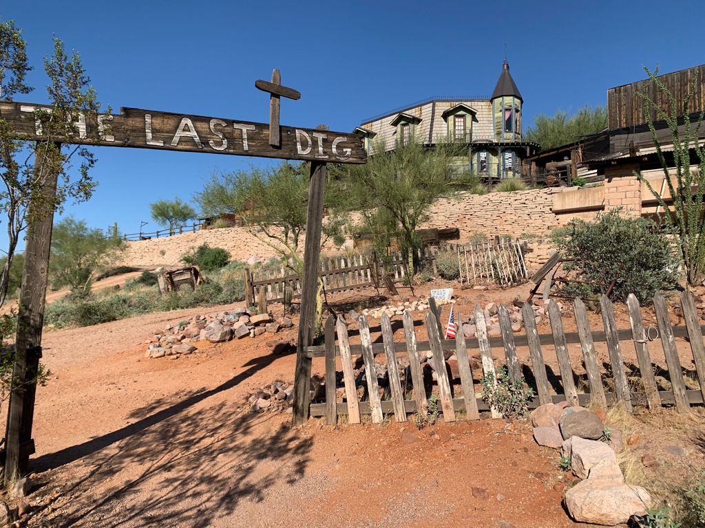
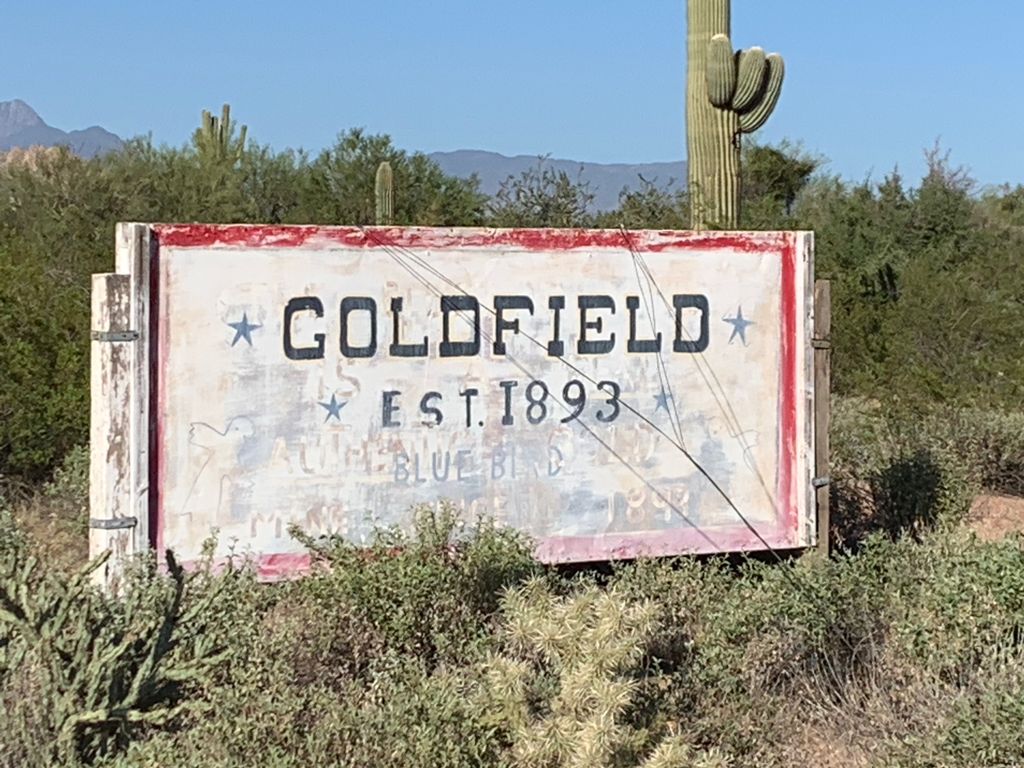
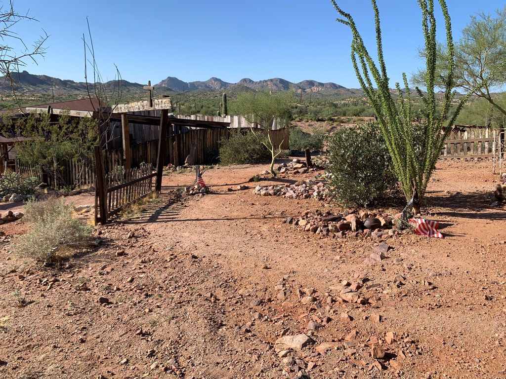
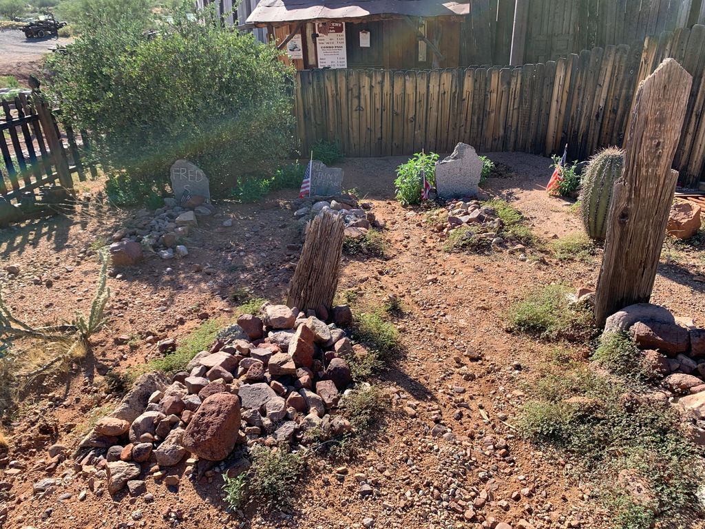
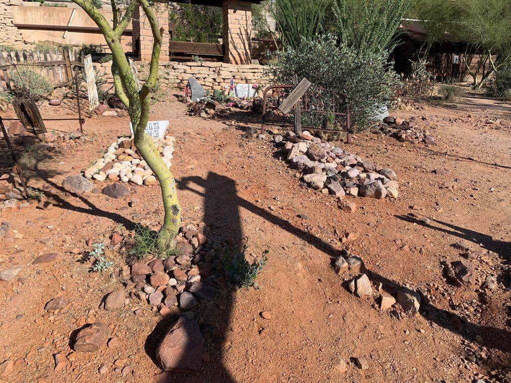
| Description | : | Now an amusement park and campground, the original Goldfield mining town was established in 1893. Expanded construction in 1993 unearthed the original mine cemetery. The remains in question were reburied and a new stone marker erected. |
frequently asked questions (FAQ):
-
Where is Goldfield Ghost Town Cemetery?
Goldfield Ghost Town Cemetery is located at 4650 N Mammoth Mine Rd Apache Junction, Pinal County ,Arizona , 85119USA.
-
Goldfield Ghost Town Cemetery cemetery's updated grave count on graveviews.com?
0 memorials
-
Where are the coordinates of the Goldfield Ghost Town Cemetery?
Latitude: 33.4560700
Longitude: -111.4922390
Nearby Cemetories:
1. Mountain View Lutheran Church Columbarium
Apache Junction, Pinal County, USA
Coordinate: 33.3952940, -111.5119390
2. Church of the Transfiguration Columbarium
Mesa, Maricopa County, USA
Coordinate: 33.4061240, -111.5898330
3. Our Saviors Lutheran Church Columbarium
Gold Canyon, Pinal County, USA
Coordinate: 33.3666190, -111.4320720
4. Gold Canyon UMC Columbarium and Memorial Garden
Gold Canyon, Pinal County, USA
Coordinate: 33.3543840, -111.4559350
5. Mountain View Funeral Home and Cemetery
Mesa, Maricopa County, USA
Coordinate: 33.4160995, -111.6603012
6. Love of Christ Lutheran Church Columbarium
Mesa, Maricopa County, USA
Coordinate: 33.4443000, -111.6834000
7. Desert Haven Columbarium
Mesa, Maricopa County, USA
Coordinate: 33.4691300, -111.6850800
8. Presbyterian Church of the Master Columbarium
Mesa, Maricopa County, USA
Coordinate: 33.4220990, -111.6879280
9. Mariposa Gardens Memorial Park
Mesa, Maricopa County, USA
Coordinate: 33.4081760, -111.6860250
10. Victory Lutheran Church Memorial Garden
Mesa, Maricopa County, USA
Coordinate: 33.4238470, -111.7024970
11. Apache Wells Community Church Columbarium
Mesa, Maricopa County, USA
Coordinate: 33.4545260, -111.7087900
12. Velda Rose Garden
Mesa, Maricopa County, USA
Coordinate: 33.4160000, -111.7110000
13. Ba Dah Mod Jo Cemetery
Fort McDowell, Maricopa County, USA
Coordinate: 33.6390000, -111.6812000
14. San Tan Memorial Gardens
Queen Creek, Maricopa County, USA
Coordinate: 33.2267900, -111.5981100
15. Fountain Hills Presbyterian Church Columbarium
Fountain Hills, Maricopa County, USA
Coordinate: 33.6041000, -111.7301000
16. Shepherd of the Hills Lutheran Church Columbarium
Fountain Hills, Maricopa County, USA
Coordinate: 33.6073280, -111.7317880
17. Trinity Lutheran Church Columbarium
Fountain Hills, Maricopa County, USA
Coordinate: 33.6113740, -111.7298180
18. The Fountains Memorial Garden and Columbarium
Fountain Hills, Maricopa County, USA
Coordinate: 33.6258420, -111.7196080
19. Christ's Church of Fountain Hills Columbarium
Fountain Hills, Maricopa County, USA
Coordinate: 33.6192560, -111.7354740
20. Reevis Grave
Pinal County, USA
Coordinate: 33.4449997, -111.1772003
21. Lehi Cemetery
Maricopa County, USA
Coordinate: 33.4811740, -111.8103000
22. Queen of Heaven Catholic Cemetery
Mesa, Maricopa County, USA
Coordinate: 33.3800011, -111.8000031
23. Saint Marks Episcopal Church Columbarium
Mesa, Maricopa County, USA
Coordinate: 33.4215140, -111.8147770
24. First Presbyterian Church of Mesa Columbarium
Mesa, Maricopa County, USA
Coordinate: 33.4190950, -111.8225900