
| Memorials | : | 73 |
| Location | : | Timonium, Baltimore County, USA |
| Coordinate | : | 39.4362920, -76.6870810 |
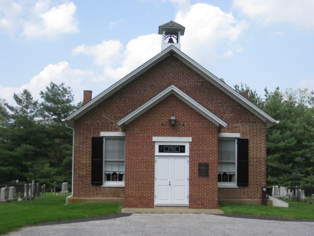
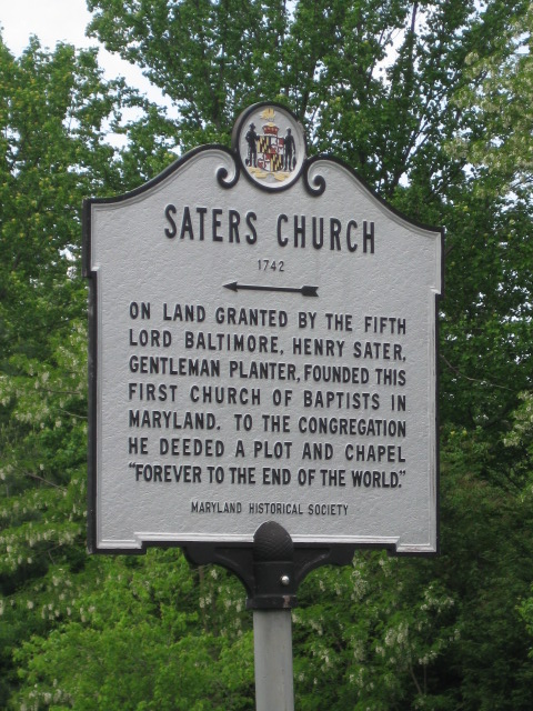
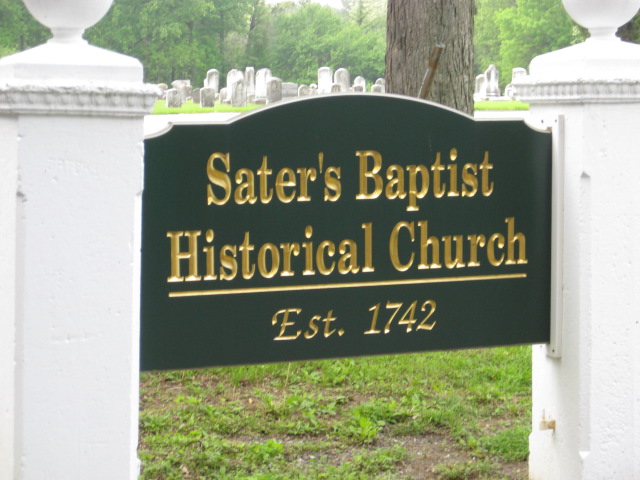
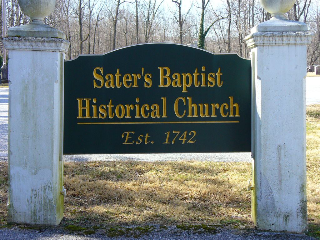
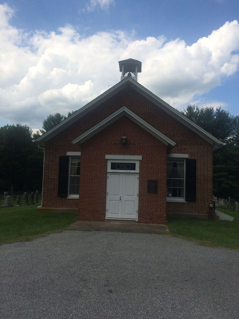
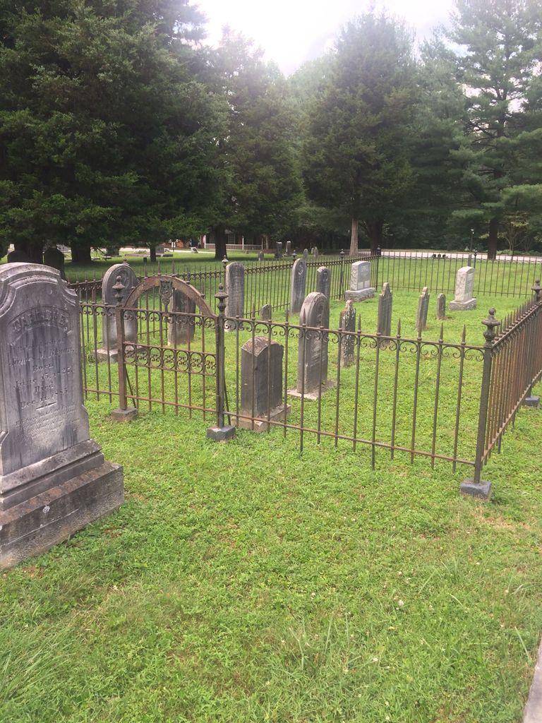
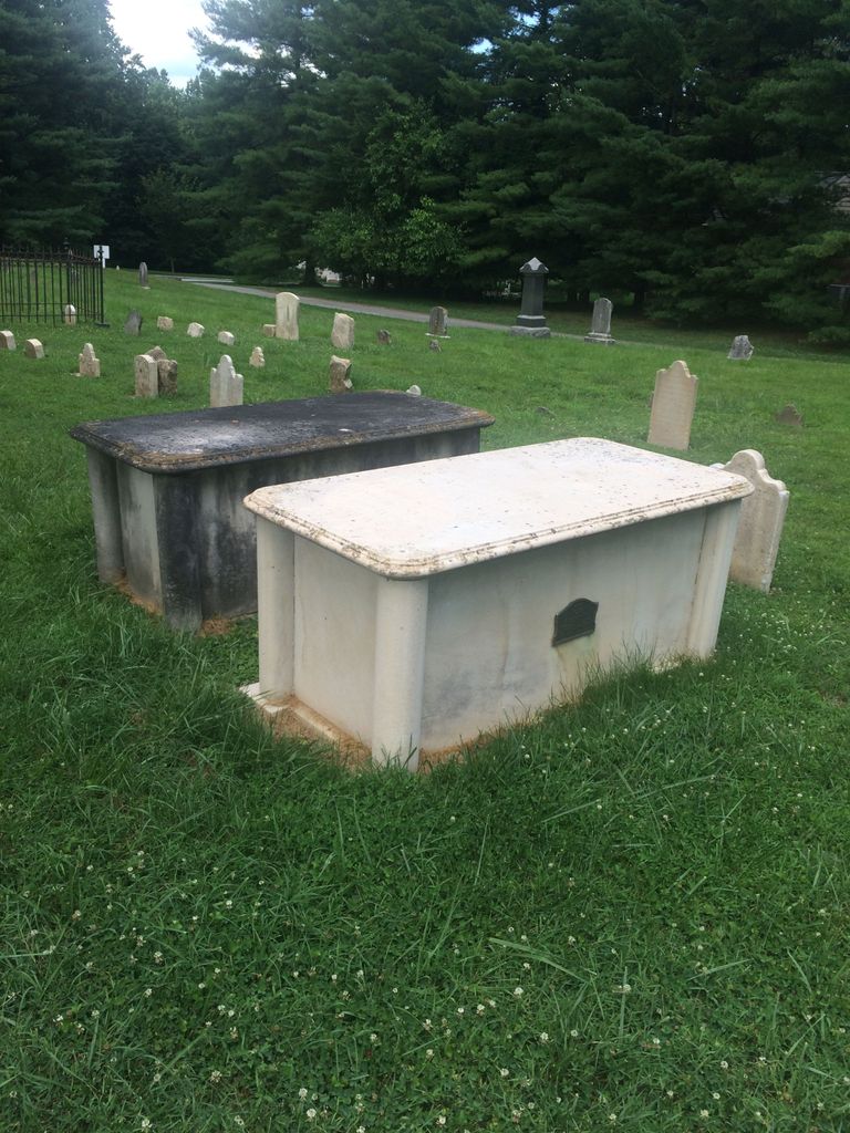
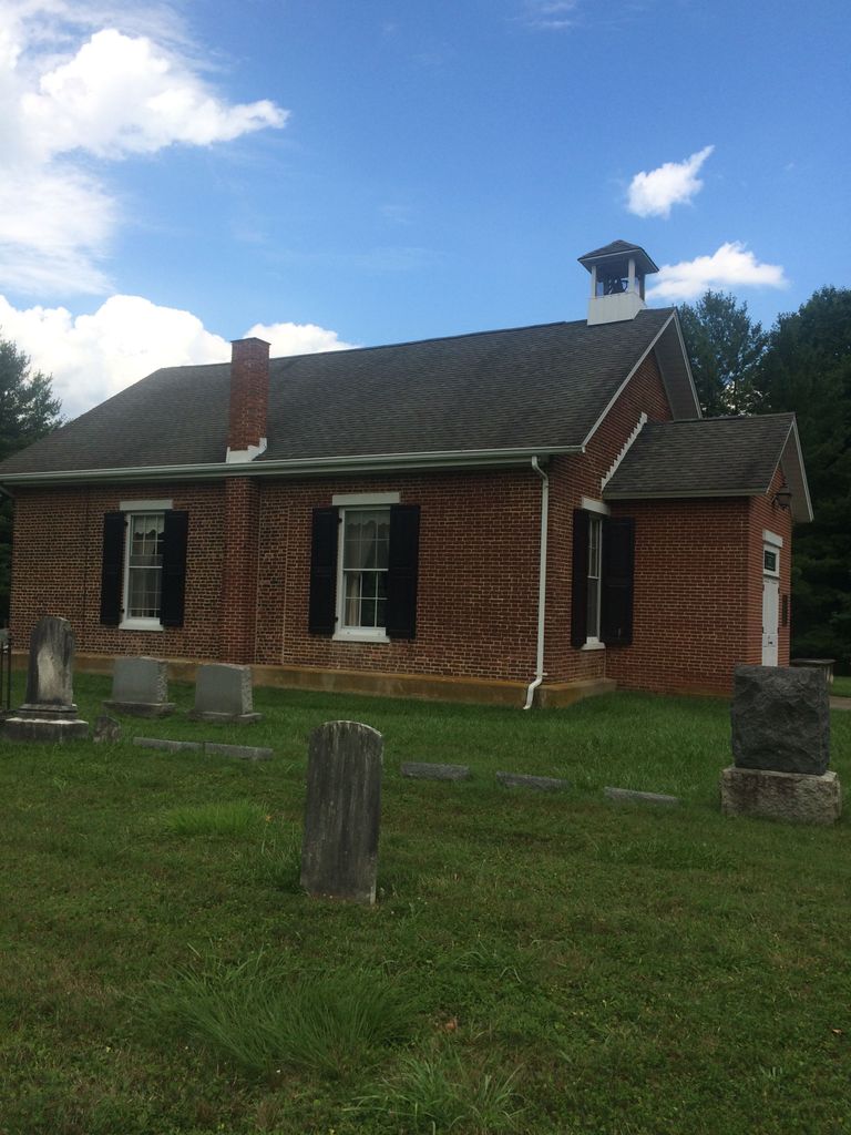
| Description | : | Saters Lane is in the 11400 block of Falls Road. A newer church, Chestnut Ridge Baptist, is on the corner of Falls and Saters Lane. In 1742 Henry Sater, Sr. deeded the land to build the first Baptist Church in Maryland with the bricks brought over from England as ships ballast. The Sater's Baptist Church was deeded to the Baptist Denomination."to the end of the world". Saters cemetery has an older part immediately adjacent to the church, and a newer section to the west of the church. Many of the older markers are either pieces of plain... Read More |
frequently asked questions (FAQ):
-
Where is Saters Baptist Historical Church Cemetery?
Saters Baptist Historical Church Cemetery is located at SatersLane off Falls Road Timonium, Baltimore County ,Maryland , 21093USA.
-
Saters Baptist Historical Church Cemetery cemetery's updated grave count on graveviews.com?
64 memorials
-
Where are the coordinates of the Saters Baptist Historical Church Cemetery?
Latitude: 39.4362920
Longitude: -76.6870810
Nearby Cemetories:
1. Cockey-Reed Cemetery
Greenspring, Baltimore County, USA
Coordinate: 39.4196400, -76.6671300
2. Mays Chapel Cemetery
Timonium, Baltimore County, USA
Coordinate: 39.4503000, -76.6618300
3. Carrolls-Gills United Methodist Church Cemetery
Lutherville, Baltimore County, USA
Coordinate: 39.4465300, -76.7185900
4. Baltimore County Graveyard #86
Sparks, Baltimore County, USA
Coordinate: 39.4606500, -76.7146800
5. Saint Paul's Evangelical Lutheran Church Cemetery
Shawan, Baltimore County, USA
Coordinate: 39.4716830, -76.7174190
6. Cockey Family Cemetery
Cockeysville, Baltimore County, USA
Coordinate: 39.4635010, -76.6426010
7. Grace Falls Road United Methodist Church Cemetery
Reisterstown, Baltimore County, USA
Coordinate: 39.4771300, -76.7081700
8. Saint Joseph Cemetery
Cockeysville, Baltimore County, USA
Coordinate: 39.4622700, -76.6388100
9. Croxall Family Cemetery
Baltimore County, USA
Coordinate: 39.3968735, -76.7207870
10. Church of the Good Shepherd Memorial Garden
Ruxton, Baltimore County, USA
Coordinate: 39.4024300, -76.6416600
11. Holy Trinity Monastery Cemetery
Pikesville, Baltimore County, USA
Coordinate: 39.3971991, -76.7277734
12. Hook Family Cemetery
Bare Hills, Baltimore County, USA
Coordinate: 39.3886600, -76.6653300
13. Almshouse Cemetery
Cockeysville, Baltimore County, USA
Coordinate: 39.4596200, -76.6278900
14. Nisbet Cemetery
Cockeysville, Baltimore County, USA
Coordinate: 39.4627160, -76.6282660
15. Saint Johns AME Chapel Cemetery
Ruxton, Baltimore County, USA
Coordinate: 39.3944300, -76.6458400
16. Convent of the Mission Helpers of the Sacred Heart
Towson, Baltimore County, USA
Coordinate: 39.4091500, -76.6267530
17. Howard Graveyard at Grayrock
Pikesville, Baltimore County, USA
Coordinate: 39.3954560, -76.7367020
18. Sherwood Episcopal Church Cemetery
Cockeysville, Baltimore County, USA
Coordinate: 39.4828600, -76.6438100
19. Old Gunpowder Friends' Burying Ground
Cockeysville, Baltimore County, USA
Coordinate: 39.4824917, -76.6426611
20. Dulaney Valley Memorial Gardens
Timonium, Baltimore County, USA
Coordinate: 39.4562300, -76.6160700
21. Rosewood State Hospital Cemetery
Owings Mills, Baltimore County, USA
Coordinate: 39.4215500, -76.7619000
22. Saint Thomas Episcopal Church Cemetery
Owings Mills, Baltimore County, USA
Coordinate: 39.4215500, -76.7619000
23. Stone Chapel United Methodist Church Cemetery
Pikesville, Baltimore County, USA
Coordinate: 39.3934000, -76.7407500
24. Price Family Cemetery
Oregon, Baltimore County, USA
Coordinate: 39.4968583, -76.6840278