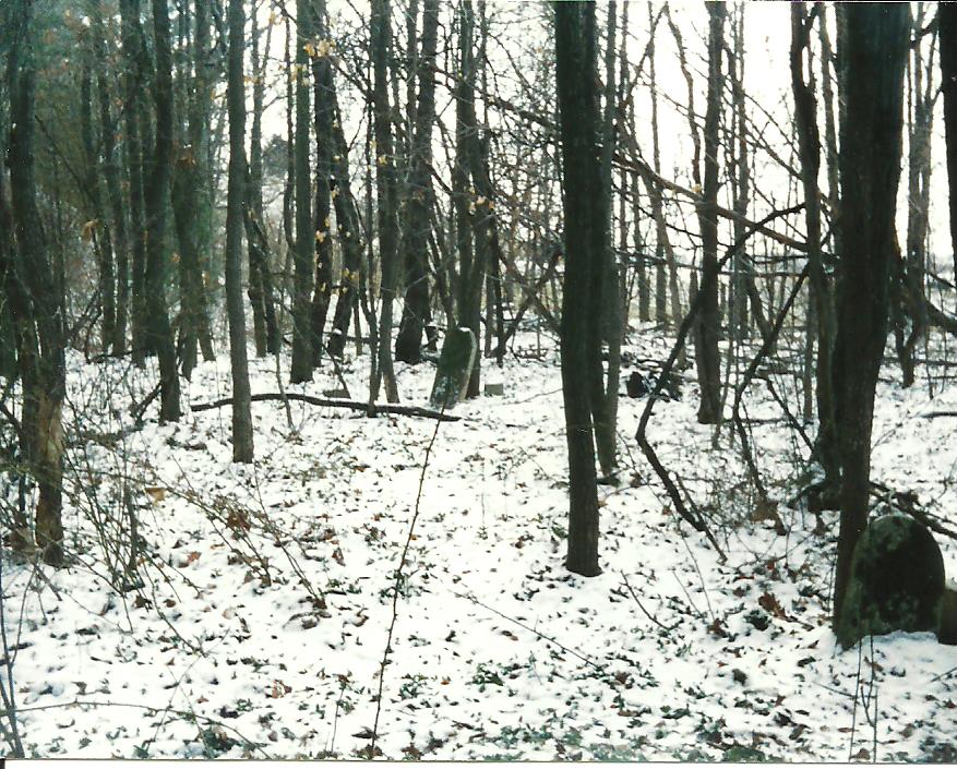
| Memorials | : | 0 |
| Location | : | Eel River, Clay County, USA |
| Description | : | Gray Cemetery is located in the south east part of Harrison township, Clay county Indiana in Section 3 on the north side of state road 157 and the west side of the county line road between Clay and Owen counties. Names were copied by Ivan Love, date unknown The cemetery is located in Harrison Township (Section 3 Township 9N Range 6W). Indiana Cemetery Locations, Volume 4, published by the Indiana Genealogical Society (April 2009), gives the primary cemetery name as Gray Cemetery. The cemetery is listed in the Cemetery and Burial Grounds Registry of the Indiana Department of Natural Resources (DNR) and... Read More |
frequently asked questions (FAQ):
-
Where is Gray Cemetery?
Gray Cemetery is located at Eel River, Clay County, USA.
-
Gray Cemetery cemetery's updated grave count on graveviews.com?
0 memorials
Nearby Cemetories:
1. Billtown Cemetery
Billtown, Clay County, USA
Coordinate: 39.2822564, -87.1188967
2. Center Point Cemetery
Center Point, Clay County, USA
Coordinate: 39.2997017, -87.1213989
3. Clay County Poor Farm Cemetery
Center Point, Clay County, USA
Coordinate: 39.2836760, -87.0726960
4. Saint John's Evangelical Lutheran Cemetery
Center Point, Clay County, USA
Coordinate: 39.2924320, -87.1249510
5. Harmony Cemetery
Harmony, Clay County, USA
Coordinate: 39.2615852, -87.1200256
6. Neidlinger Cemetery
Harmony, Clay County, USA
Coordinate: 39.2454650, -87.1225290
7. Wesley Chapel Cemetery
Harmony, Clay County, USA
Coordinate: 39.4746390, -87.0958110
8. Wilson Cemetery
Clay County, USA
Coordinate: 39.2317009, -87.1753006
9. Zenor Cemetery
Clay County, USA
Coordinate: 39.3574982, -86.9978027
10. Archer Cemetery
Clay County, USA
Coordinate: 39.3753000, -87.0439000
11. Ashboro-Moss Cemetery
Ashboro, Clay County, USA
Coordinate: 39.1735010, -87.1990440
12. Deeter Cemetery
Ashboro, Clay County, USA
Coordinate: 39.4939600, -87.2341100
13. Goshorn Memorial Park
Clay City, Clay County, USA
Coordinate: 39.2822564, -87.1188967
14. Greenwell Cemetery
Clay City, Clay County, USA
Coordinate: 39.2997017, -87.1213989
15. Liechty Cemetery
Clay City, Clay County, USA
Coordinate: 39.2836760, -87.0726960
16. Maple Grove Cemetery
Clay City, Clay County, USA
Coordinate: 39.2924320, -87.1249510
17. Middlebury Martz Cemetery
Clay City, Clay County, USA
Coordinate: 39.2615852, -87.1200256
18. Sink Cemetery
Clay City, Clay County, USA
Coordinate: 39.2454650, -87.1225290
19. Union Cemetery
Hoosierville, Clay County, USA
Coordinate: 39.4746390, -87.0958110
20. Sanders Cemetery
Clay County, USA
Coordinate: 39.2317009, -87.1753006
21. Snoddy Cemetery
Clay County, USA
Coordinate: 39.3574982, -86.9978027
22. Sloan Cemetery
Washington Township, Clay County, USA
Coordinate: 39.3753000, -87.0439000
23. Oak Grove Cemetery
Bogle Corner, Clay County, USA
Coordinate: 39.1735010, -87.1990440
24. Carpenter Cemetery
Cloverland, Clay County, USA
Coordinate: 39.4939600, -87.2341100

