
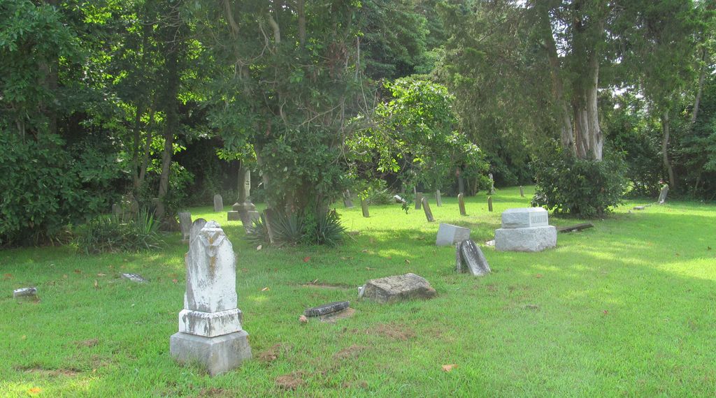
| Memorials | : | 2 |
| Location | : | Center Point, Clay County, USA |
| Coordinate | : | 39.4683609, -87.1544952 |
frequently asked questions (FAQ):
-
Where is Saint John's Evangelical Lutheran Cemetery?
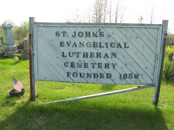
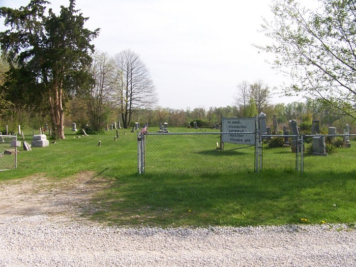
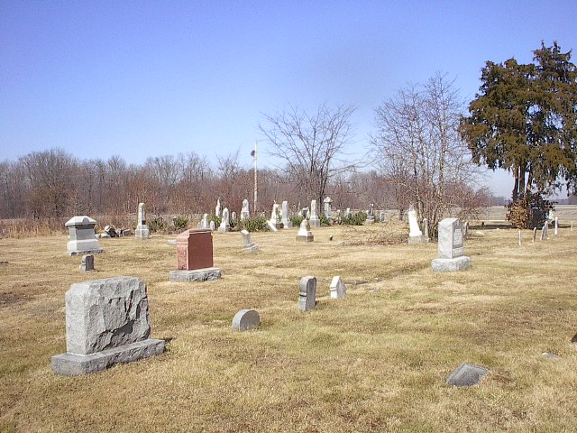
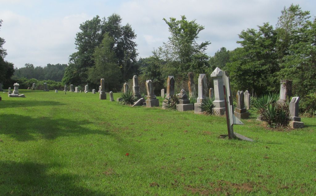
Saint John's Evangelical Lutheran Cemetery is located at Center Point, Clay County ,Indiana ,USA.
-
Saint John's Evangelical Lutheran Cemetery cemetery's updated grave count on graveviews.com?
2 memorials
-
Where are the coordinates of the Saint John's Evangelical Lutheran Cemetery?
Latitude: 39.4683609
Longitude: -87.1544952
Nearby Cemetories:
1. German Cemetery
Clay County, USA
Coordinate: 39.4681015, -87.1547012
2. Vest Cemetery
Staunton, Clay County, USA
Coordinate: 39.4795685, -87.1728516
3. Wools Cemetery
Staunton, Clay County, USA
Coordinate: 39.4895690, -87.1446970
4. Staunton German Lutheran Cemetery
Staunton, Clay County, USA
Coordinate: 39.4806510, -87.1839270
5. Reffet Cemetery
Brazil, Clay County, USA
Coordinate: 39.4891960, -87.1260020
6. Summit Lawn Cemetery
Brazil, Clay County, USA
Coordinate: 39.4998190, -87.1445310
7. Rhule Cemetery
Brazil, Clay County, USA
Coordinate: 39.4441986, -87.1971970
8. Zenor Cemetery North
Prairie City, Clay County, USA
Coordinate: 39.4454346, -87.1073227
9. Union Cemetery
Hoosierville, Clay County, USA
Coordinate: 39.4746390, -87.0958110
10. Clearview Cemetery
Posey Township, Clay County, USA
Coordinate: 39.5141983, -87.1733017
11. Cottage Hill Cemetery
Brazil, Clay County, USA
Coordinate: 39.5186005, -87.1517029
12. Arthur Helton Farm Cemetery
Jackson Township, Clay County, USA
Coordinate: 39.4712140, -87.0873260
13. Mount Calvary Cemetery
Brazil, Clay County, USA
Coordinate: 39.4163530, -87.1549810
14. Old Hill Cemetery
Brazil, Clay County, USA
Coordinate: 39.5198300, -87.1432100
15. Billtown Cemetery
Billtown, Clay County, USA
Coordinate: 39.5083008, -87.1996994
16. Poplar Cemetery
Knightsville, Clay County, USA
Coordinate: 39.5042000, -87.0980988
17. Deeter Cemetery
Ashboro, Clay County, USA
Coordinate: 39.4074340, -87.1364310
18. Carpenter Cemetery
Cloverland, Clay County, USA
Coordinate: 39.4939600, -87.2341100
19. Conway Cemetery
Cory, Clay County, USA
Coordinate: 39.4060860, -87.1863403
20. Rardin South Cemetery
Cory, Clay County, USA
Coordinate: 39.4168080, -87.2102430
21. Eppert Cemetery
Cloverland, Clay County, USA
Coordinate: 39.5020332, -87.2316666
22. Bee Ridge Cemetery
Brazil, Clay County, USA
Coordinate: 39.5367584, -87.1687469
23. Harpold Cemetery
Ehrmandale, Vigo County, USA
Coordinate: 39.5205994, -87.2144012
24. Kaelber Cemetery
Clay County, USA
Coordinate: 39.4455986, -87.0667038