
| Memorials | : | 1 |
| Location | : | Ashboro, Clay County, USA |
| Coordinate | : | 39.4074340, -87.1364310 |
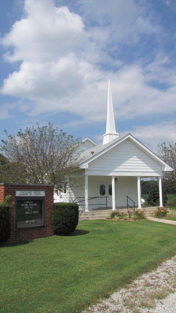
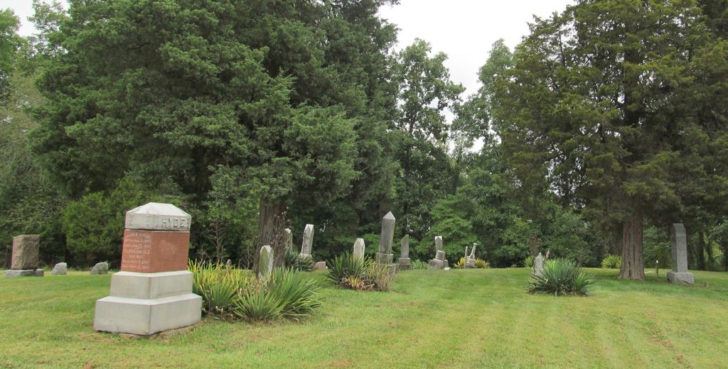
| Description | : | The cemetery is located in Perry Township (NE quadrant of the NE quadrant of the SW quadrant of Section 12 Township 11N Range 7W) on the north side of W Lower Bloomington Road at its intersection with N County Road 150 W. Indiana Cemetery Locations, Volume 4, published by the Indiana Genealogical Society (April 2009), gives the primary cemetery name as Deeter Cemetery with an alternate name of Pleasant Grove Cemetery. The cemetery is listed in the Cemetery and Burial Grounds Registry of the Indiana Department of Natural Resources (DNR) and in the State Historical Architectural... Read More |
frequently asked questions (FAQ):
-
Where is Deeter Cemetery?
Deeter Cemetery is located at W. Lower Bloomington Rd. Ashboro, Clay County ,Indiana , 47840USA.
-
Deeter Cemetery cemetery's updated grave count on graveviews.com?
1 memorials
-
Where are the coordinates of the Deeter Cemetery?
Latitude: 39.4074340
Longitude: -87.1364310
Nearby Cemetories:
1. Mount Calvary Cemetery
Brazil, Clay County, USA
Coordinate: 39.4163530, -87.1549810
2. Ashboro-Moss Cemetery
Ashboro, Clay County, USA
Coordinate: 39.3978700, -87.1095700
3. Barber Cemetery
Saline City, Clay County, USA
Coordinate: 39.3833000, -87.1586000
4. Conway Cemetery
Cory, Clay County, USA
Coordinate: 39.4060860, -87.1863403
5. Grimes Cemetery
Clay County, USA
Coordinate: 39.3860779, -87.0912018
6. Zenor Cemetery North
Prairie City, Clay County, USA
Coordinate: 39.4454346, -87.1073227
7. Center Point Cemetery
Center Point, Clay County, USA
Coordinate: 39.4178848, -87.0738297
8. Rardin South Cemetery
Cory, Clay County, USA
Coordinate: 39.4168080, -87.2102430
9. Rhule Cemetery
Brazil, Clay County, USA
Coordinate: 39.4441986, -87.1971970
10. German Cemetery
Clay County, USA
Coordinate: 39.4681015, -87.1547012
11. Saint John's Evangelical Lutheran Cemetery
Center Point, Clay County, USA
Coordinate: 39.4683609, -87.1544952
12. Kaelber Cemetery
Clay County, USA
Coordinate: 39.4455986, -87.0667038
13. Baumunk Cemetery
Saline City, Clay County, USA
Coordinate: 39.3432999, -87.1130981
14. McCullough Zion Gummere Cemetery
Cory, Clay County, USA
Coordinate: 39.3457985, -87.1753006
15. Williams Cemetery
Bowling Green, Clay County, USA
Coordinate: 39.3858200, -87.0503200
16. Hixon Cemetery
Cory, Clay County, USA
Coordinate: 39.3757930, -87.2207160
17. Union Cemetery
Hoosierville, Clay County, USA
Coordinate: 39.4746390, -87.0958110
18. Arthur Helton Farm Cemetery
Jackson Township, Clay County, USA
Coordinate: 39.4712140, -87.0873260
19. Tucker Family Cemetery
Cory, Clay County, USA
Coordinate: 39.3850900, -87.2280800
20. Staggs Cemetery
Cory, Clay County, USA
Coordinate: 39.3602982, -87.2118988
21. Vest Cemetery
Staunton, Clay County, USA
Coordinate: 39.4795685, -87.1728516
22. Sloan Cemetery
Washington Township, Clay County, USA
Coordinate: 39.3753000, -87.0439000
23. Killion Cemetery
Bowling Green, Clay County, USA
Coordinate: 39.3931007, -87.0355988
24. Clay County Poor Farm Cemetery
Center Point, Clay County, USA
Coordinate: 39.3711320, -87.0433790