
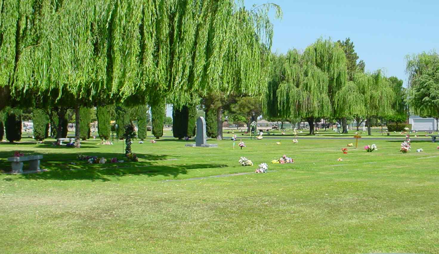
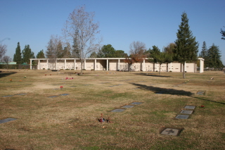
| Memorials | : | 5472 |
| Location | : | Bakersfield, Kern County, USA |
| Phone | : | 661-834-8820 |
| Coordinate | : | 35.2948990, -119.0330810 |
| Description | : | Do not confuse this cemetery with Greenlawn Memorial Park which is at 3700 River Blvd. |
frequently asked questions (FAQ):
-
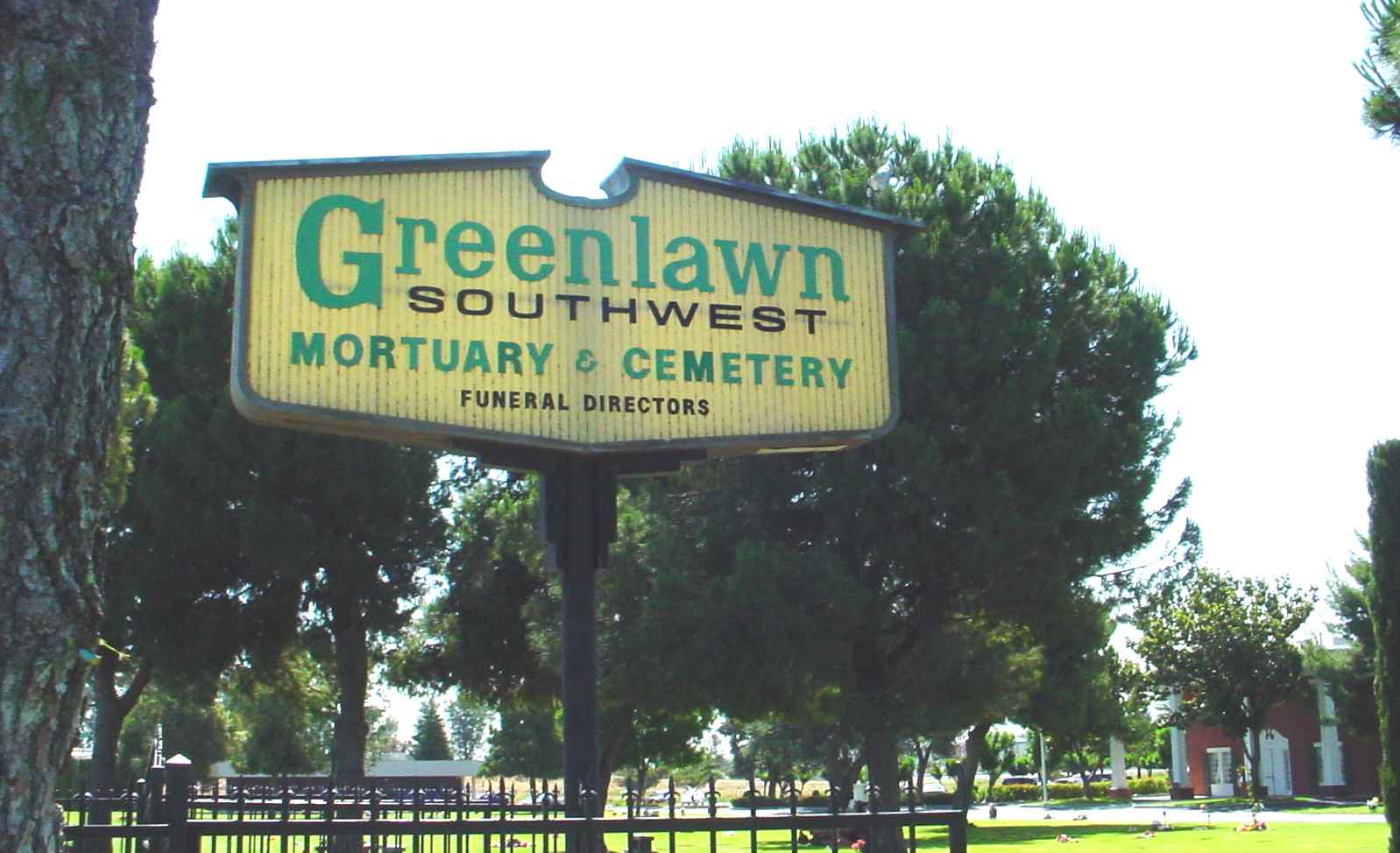
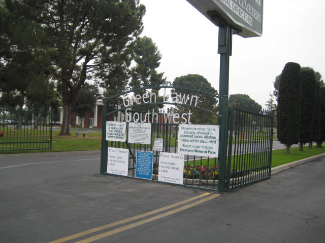
Where is Greenlawn Southwest Mortuary and Cemetery?
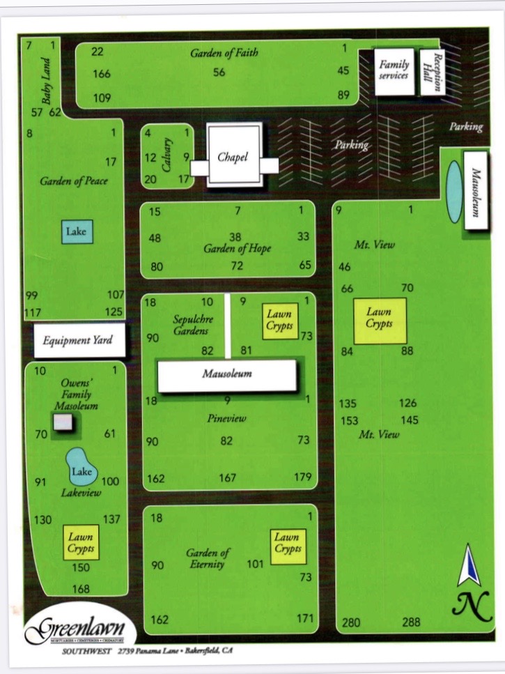
Greenlawn Southwest Mortuary and Cemetery is located at 2739 Panama Lane Bakersfield, Kern County ,California , 93313USA.
-
Greenlawn Southwest Mortuary and Cemetery cemetery's updated grave count on graveviews.com?
5471 memorials
-
Where are the coordinates of the Greenlawn Southwest Mortuary and Cemetery?
Latitude: 35.2948990
Longitude: -119.0330810
Nearby Cemetories:
1. Chinese Cemetery
Bakersfield, Kern County, USA
Coordinate: 35.3510550, -119.0273380
2. Home of Peace Jewish Cemetery
Bakersfield, Kern County, USA
Coordinate: 35.3631500, -118.9987400
3. Union Cemetery
Bakersfield, Kern County, USA
Coordinate: 35.3646500, -118.9948700
4. Saint Pauls Episcopal Church Columbarium
Bakersfield, Kern County, USA
Coordinate: 35.3746120, -119.0277940
5. Greenlawn Cemetery and Mortuary
Bakersfield, Kern County, USA
Coordinate: 35.4067001, -118.9856033
6. Hillcrest Memorial Park
Bakersfield, Kern County, USA
Coordinate: 35.3814316, -118.9012527
7. Arvin Cemetery
Arvin, Kern County, USA
Coordinate: 35.2132300, -118.8952700
8. Kuntz Ranch Cemetery
Bakersfield, Kern County, USA
Coordinate: 35.4373560, -118.9390180
9. Shafter Memorial Park
Shafter, Kern County, USA
Coordinate: 35.4728012, -119.2341995
10. Bakersfield National Cemetery
Arvin, Kern County, USA
Coordinate: 35.2559600, -118.6693480
11. Long Tom Mine Cemetery
Woody, Kern County, USA
Coordinate: 35.5495600, -118.8308700
12. Fickert Family Cemetery
Bear Valley Springs, Kern County, USA
Coordinate: 35.1697260, -118.6443350
13. Engle Family Cemetery
Bakersfield, Kern County, USA
Coordinate: 35.6392060, -118.9231180
14. West Side District Cemetery
Taft, Kern County, USA
Coordinate: 35.1559160, -119.4368360
15. Pomfret Memorial Cemetery
Famoso, Kern County, USA
Coordinate: 35.6313580, -119.2064460
16. Midway Cemetery
Taft, Kern County, USA
Coordinate: 35.1297060, -119.4625090
17. Cesar E. Chavez National Monument
Keene, Kern County, USA
Coordinate: 35.2236000, -118.5592400
18. Tejon Indian Settlement Cemetery
Kern County, USA
Coordinate: 35.0422000, -118.6553900
19. Rankin Cemetery
Walker Basin, Kern County, USA
Coordinate: 35.3844560, -118.5388890
20. Tehachapi Cove Cemetery
Tehachapi, Kern County, USA
Coordinate: 35.1190000, -118.5724600
21. Wasco Memorial Park
Wasco, Kern County, USA
Coordinate: 35.6034740, -119.3845260
22. Peter Lebeck Gravesite
Lebec, Kern County, USA
Coordinate: 34.8743040, -118.8926210
23. Fort Tejon Military Cemetery
Lebec, Kern County, USA
Coordinate: 34.8720500, -118.8971500
24. Brite Family Cemetery
Tehachapi, Kern County, USA
Coordinate: 35.1085350, -118.5473470