
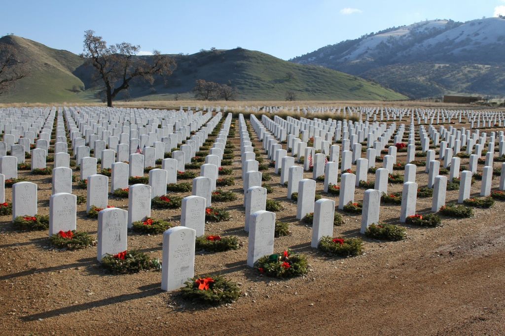
| Memorials | : | 9338 |
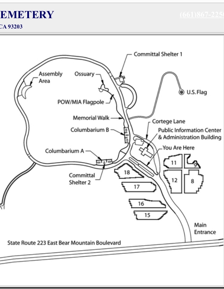
| Location | : | Arvin, Kern County, USA |
| Phone | : | 661-867-2250 |
| Coordinate | : | 35.2559600, -118.6693480 |
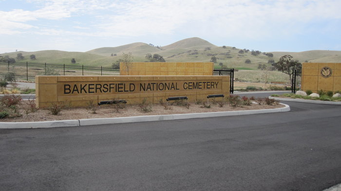
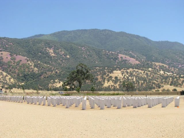
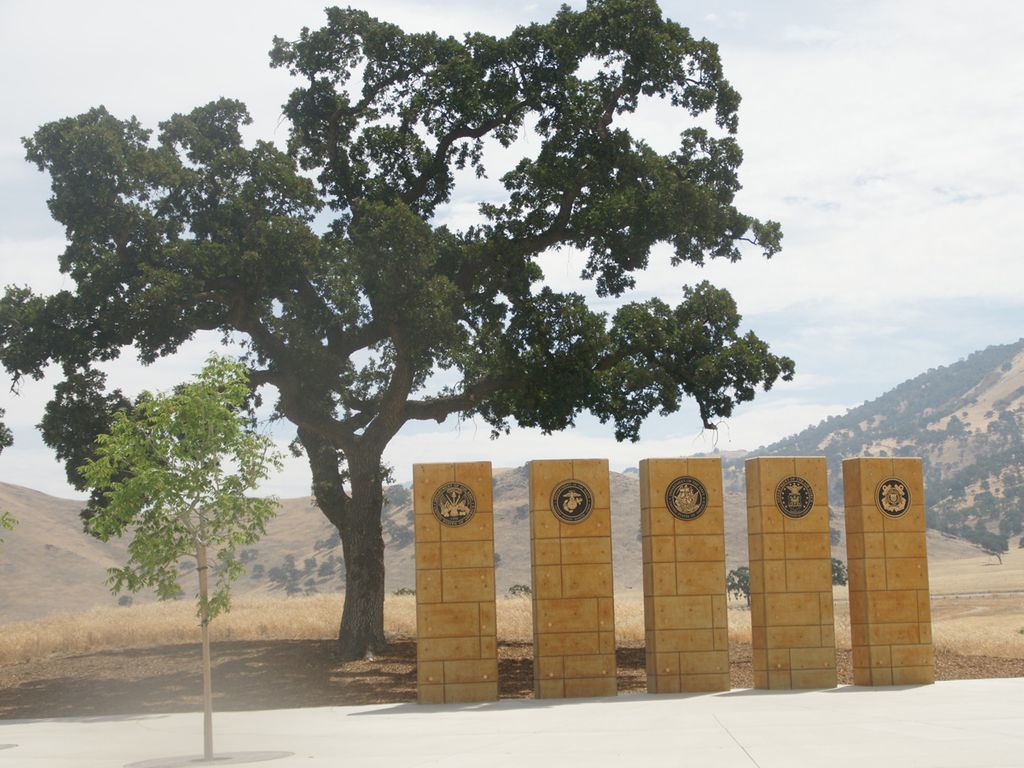
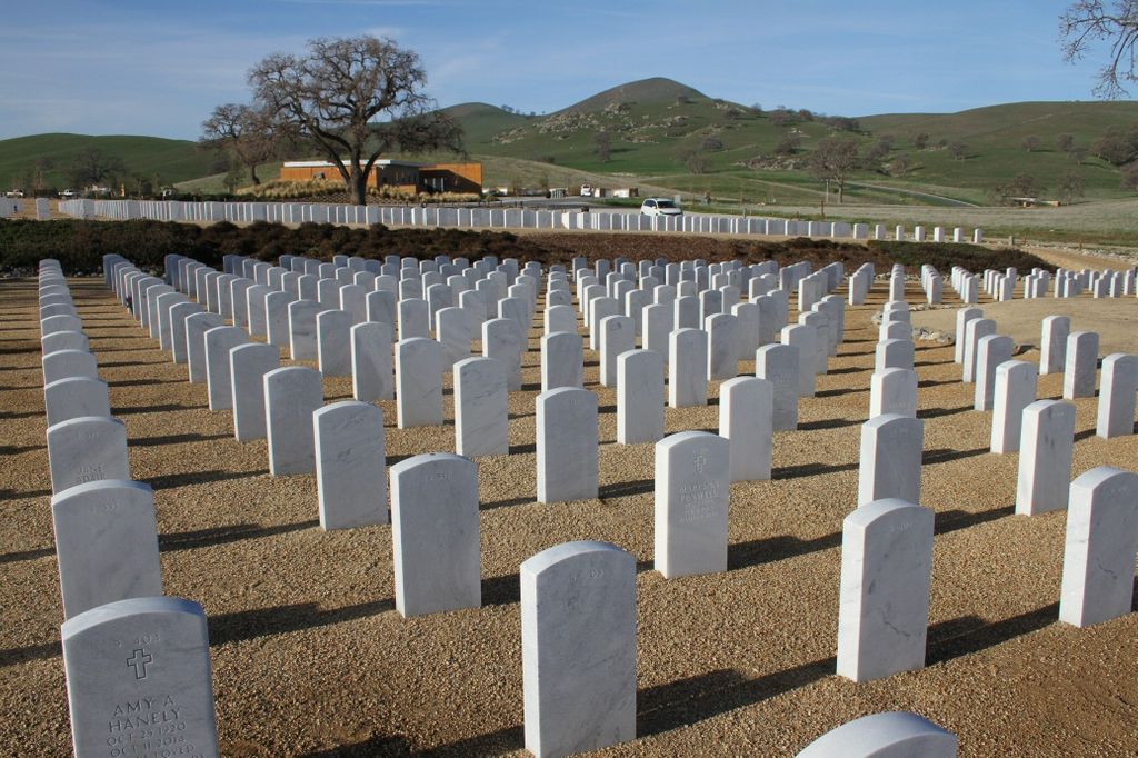
| Description | : | Bakersfield National Cemetery was established in 2008 when the US Department of Veterans Affairs acquired 500 acres from the Tejon Ranch Company. It hosted its first cremated remains on July 1, 2009, and first casket burial on July 2. The cemetery is located on a portion of land that had once been used by the short-lived U.S. Army Camel Corps that was based in nearby Fort Tejon from 1857 to 1863. |
frequently asked questions (FAQ):
-
Where is Bakersfield National Cemetery?
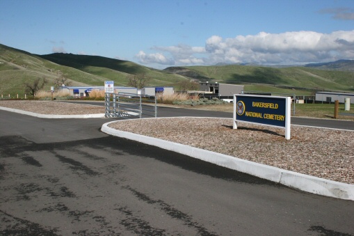
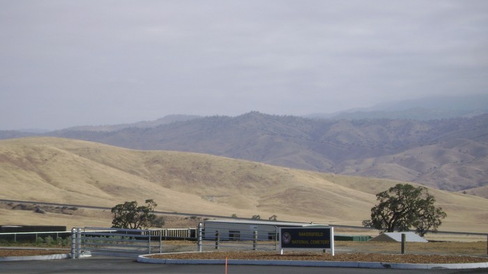
Bakersfield National Cemetery is located at 30338 East Bear Mountain Road Arvin, Kern County ,California , 93203USA.
-
Bakersfield National Cemetery cemetery's updated grave count on graveviews.com?
9333 memorials
-
Where are the coordinates of the Bakersfield National Cemetery?
Latitude: 35.2559600
Longitude: -118.6693480


Nearby Cemetories:
1. Fickert Family Cemetery
Bear Valley Springs, Kern County, USA
Coordinate: 35.1697260, -118.6443350
2. Cesar E. Chavez National Monument
Keene, Kern County, USA
Coordinate: 35.2236000, -118.5592400
3. Tehachapi Cove Cemetery
Tehachapi, Kern County, USA
Coordinate: 35.1190000, -118.5724600
4. Rankin Cemetery
Walker Basin, Kern County, USA
Coordinate: 35.3844560, -118.5388890
5. Brite Family Cemetery
Tehachapi, Kern County, USA
Coordinate: 35.1085350, -118.5473470
6. Arvin Cemetery
Arvin, Kern County, USA
Coordinate: 35.2132300, -118.8952700
7. Old Tehachapi Cemetery
Tehachapi, Kern County, USA
Coordinate: 35.1400990, -118.4795570
8. Paris-Loraine Cemetery
Loraine, Kern County, USA
Coordinate: 35.3059000, -118.4355000
9. Tehachapi Westside Cemetery
Tehachapi, Kern County, USA
Coordinate: 35.1387400, -118.4633600
10. Tejon Indian Settlement Cemetery
Kern County, USA
Coordinate: 35.0422000, -118.6553900
11. Hillcrest Memorial Park
Bakersfield, Kern County, USA
Coordinate: 35.3814316, -118.9012527
12. Buhn Ranch Cemetery
Tehachapi, Kern County, USA
Coordinate: 35.1352210, -118.4319290
13. Williams Burial Site
Walker Basin, Kern County, USA
Coordinate: 35.4320950, -118.4815680
14. Tehachapi Eastside Cemetery
Tehachapi, Kern County, USA
Coordinate: 35.1329000, -118.4153200
15. Kuntz Ranch Cemetery
Bakersfield, Kern County, USA
Coordinate: 35.4373560, -118.9390180
16. Saint Joseph Cemetery
Havilah, Kern County, USA
Coordinate: 35.5147500, -118.5177700
17. Union Cemetery
Bakersfield, Kern County, USA
Coordinate: 35.3646500, -118.9948700
18. Home of Peace Jewish Cemetery
Bakersfield, Kern County, USA
Coordinate: 35.3631500, -118.9987400
19. Greenlawn Cemetery and Mortuary
Bakersfield, Kern County, USA
Coordinate: 35.4067001, -118.9856033
20. Greenlawn Southwest Mortuary and Cemetery
Bakersfield, Kern County, USA
Coordinate: 35.2948990, -119.0330810
21. Chinese Cemetery
Bakersfield, Kern County, USA
Coordinate: 35.3510550, -119.0273380
22. Sand Canyon Cemetery
Tehachapi, Kern County, USA
Coordinate: 35.1331320, -118.3150210
23. Saint Pauls Episcopal Church Columbarium
Bakersfield, Kern County, USA
Coordinate: 35.3746120, -119.0277940
24. Long Tom Mine Cemetery
Woody, Kern County, USA
Coordinate: 35.5495600, -118.8308700