
| Memorials | : | 1 |
| Location | : | Port Wing, Bayfield County, USA |
| Coordinate | : | 46.7668991, -91.3886032 |
frequently asked questions (FAQ):
-
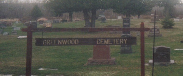
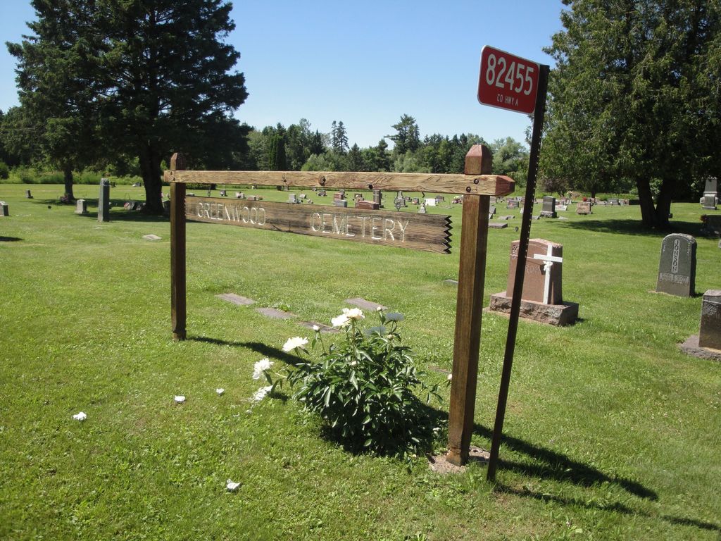
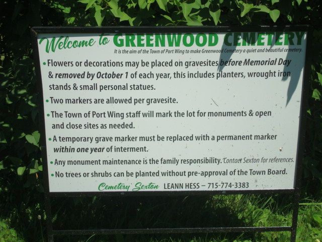
Where is Greenwood Cemetery?
Greenwood Cemetery is located at County Highway A Port Wing, Bayfield County ,Wisconsin ,USA.
-
Greenwood Cemetery cemetery's updated grave count on graveviews.com?
1 memorials
-
Where are the coordinates of the Greenwood Cemetery?
Latitude: 46.7668991
Longitude: -91.3886032
Nearby Cemetories:
1. Hillside Cemetery
Port Wing, Bayfield County, USA
Coordinate: 46.6963997, -91.4113998
2. Herbster Community Cemetery
Herbster, Bayfield County, USA
Coordinate: 46.8258018, -91.2177963
3. Hillcrest Cemetery
Oulu, Bayfield County, USA
Coordinate: 46.6507300, -91.5097200
4. Valley View Cemetery
Iron River, Bayfield County, USA
Coordinate: 46.6227989, -91.3600006
5. Resthaven Cemetery
Cloverland, Douglas County, USA
Coordinate: 46.6925011, -91.5738983
6. Oulu Lutheran Cemetery
Oulu, Bayfield County, USA
Coordinate: 46.6549988, -91.5318985
7. Pine Glade Cemetery
Oulu, Bayfield County, USA
Coordinate: 46.6232986, -91.5113983
8. Ever-Rest Cemetery
Waino, Douglas County, USA
Coordinate: 46.6389008, -91.5631027
9. George D Jones Jr Memorial Cemetery
Cornucopia, Bayfield County, USA
Coordinate: 46.8083000, -91.1141968
10. Saint Marys Russian Orthodox Cemetery
Cornucopia, Bayfield County, USA
Coordinate: 46.8085600, -91.1139700
11. Iron River City Cemetery
Iron River, Bayfield County, USA
Coordinate: 46.5668983, -91.3981018
12. Town of Bell Cemetery
Cornucopia, Bayfield County, USA
Coordinate: 46.8330917, -91.1030197
13. Saint Michaels Cemetery
Iron River, Bayfield County, USA
Coordinate: 46.5602989, -91.4150009
14. Covenant Cemetery
Cloverland, Douglas County, USA
Coordinate: 46.6768600, -91.6846400
15. Belanger Settlement Cemetery
Bayfield, Bayfield County, USA
Coordinate: 46.8039665, -91.0222855
16. Pine Ridge Cemetery
Brule, Douglas County, USA
Coordinate: 46.5363998, -91.5749969
17. Faith Lutheran Cemetery
Maple, Douglas County, USA
Coordinate: 46.6258340, -91.7206050
18. Maple Memorial Cemetery
Maple, Douglas County, USA
Coordinate: 46.6255390, -91.7206050
19. Saint Anns Cemetery
Maple, Douglas County, USA
Coordinate: 46.5821080, -91.6784190
20. Saints Peter and Paul Catholic Cemetery
Moquah, Bayfield County, USA
Coordinate: 46.5698013, -91.0842972
21. Saint Florians Cemetery
Ino, Bayfield County, USA
Coordinate: 46.5161438, -91.1750412
22. Moquah Cemetery
Moquah, Bayfield County, USA
Coordinate: 46.5701980, -91.0731530
23. Moquah National Cemetery
Moquah, Bayfield County, USA
Coordinate: 46.5702860, -91.0718390
24. Church Corner Cemetery
Washburn, Bayfield County, USA
Coordinate: 46.6595000, -90.9889000