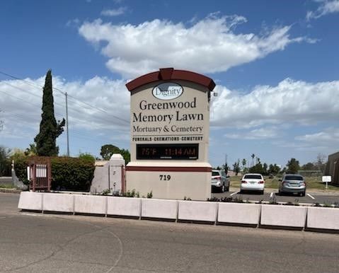
| Memorials | : | 130 |
| Location | : | Phoenix, Maricopa County, USA |
| Phone | : | 602-272-5639 |
| Coordinate | : | 33.4557991, -112.1097031 |
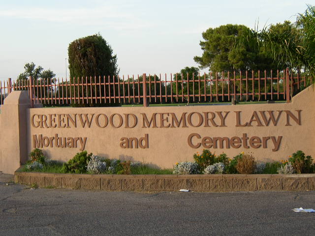
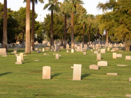
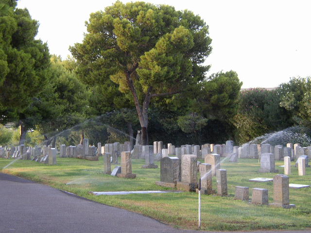
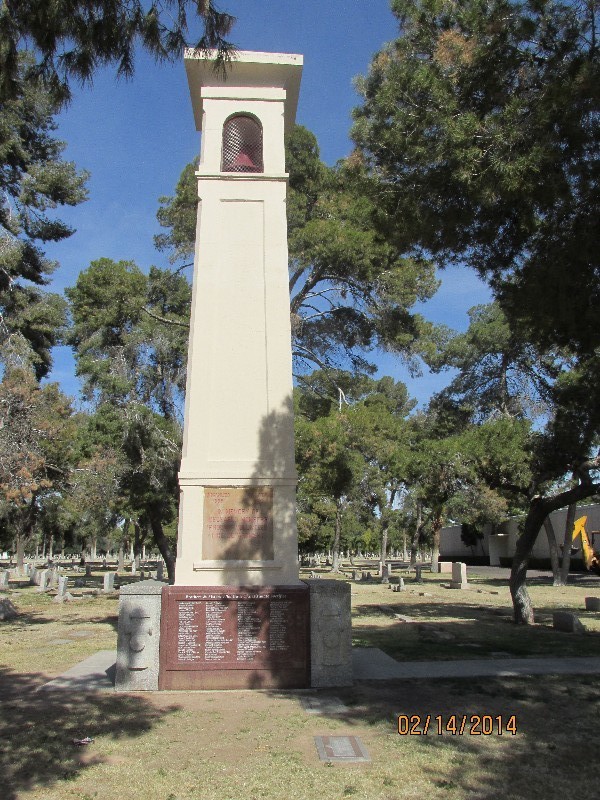
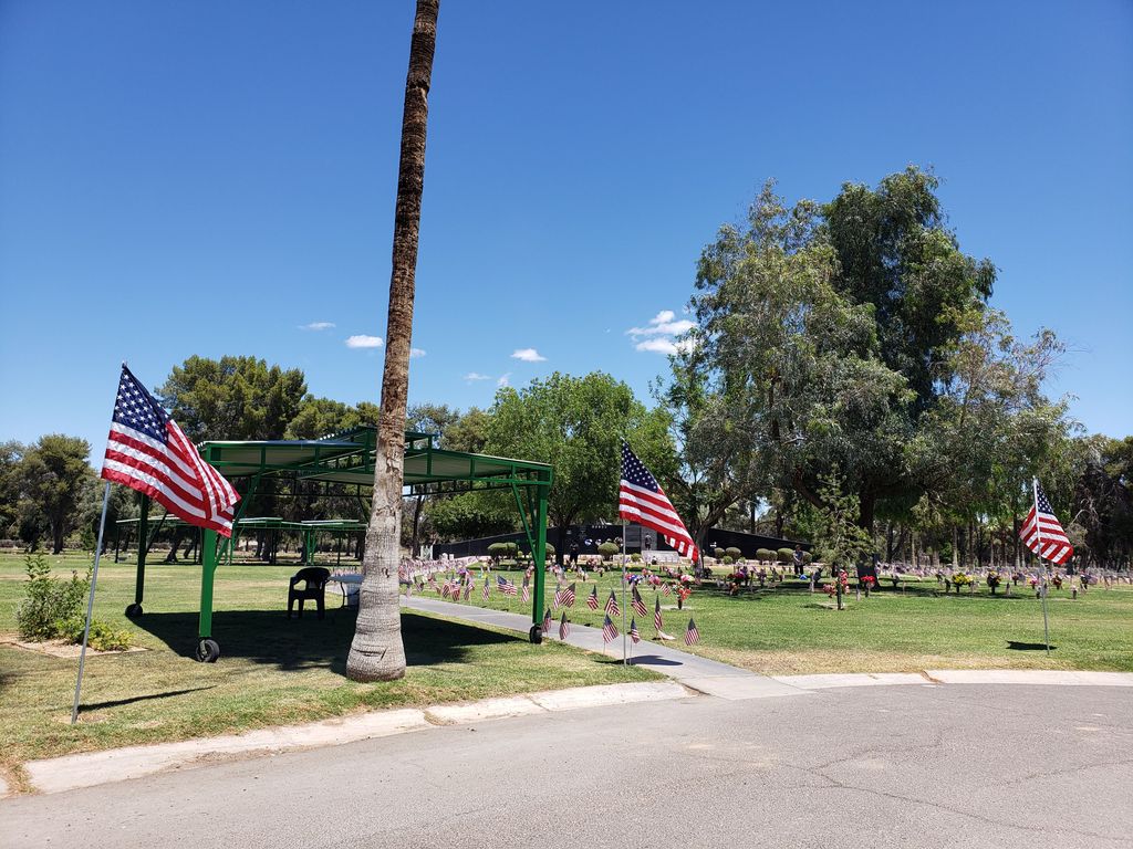
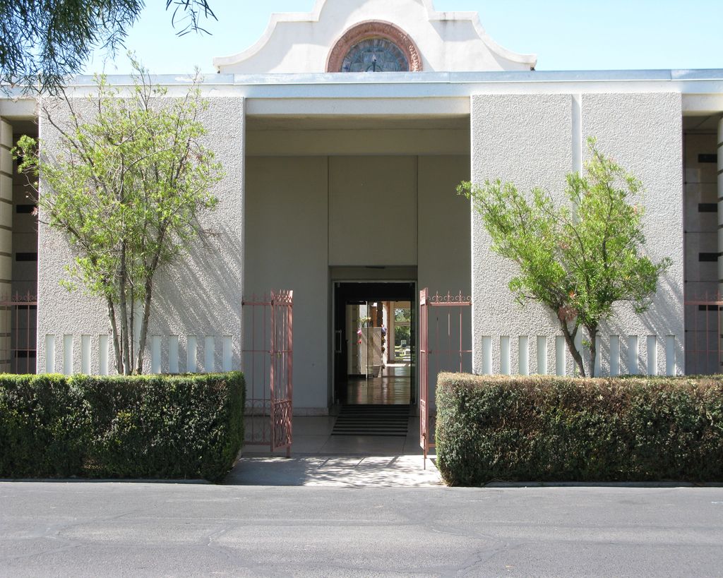
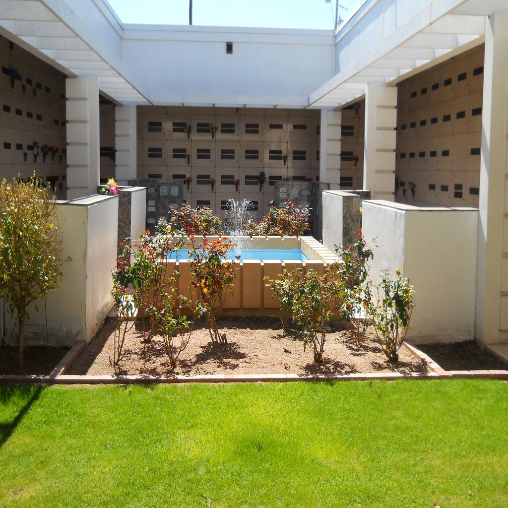
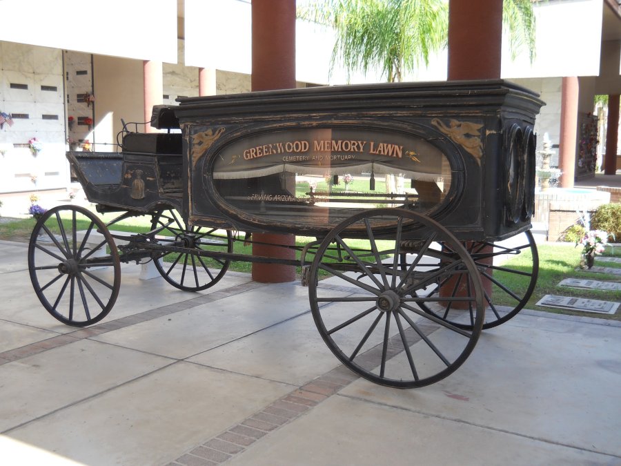
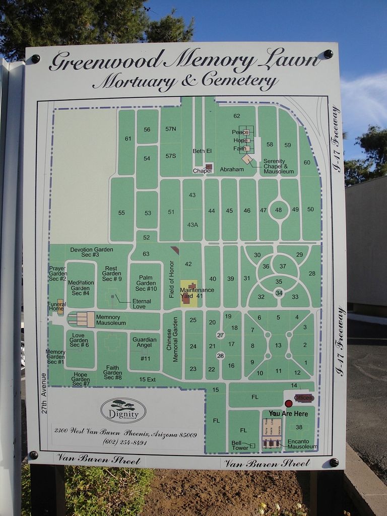
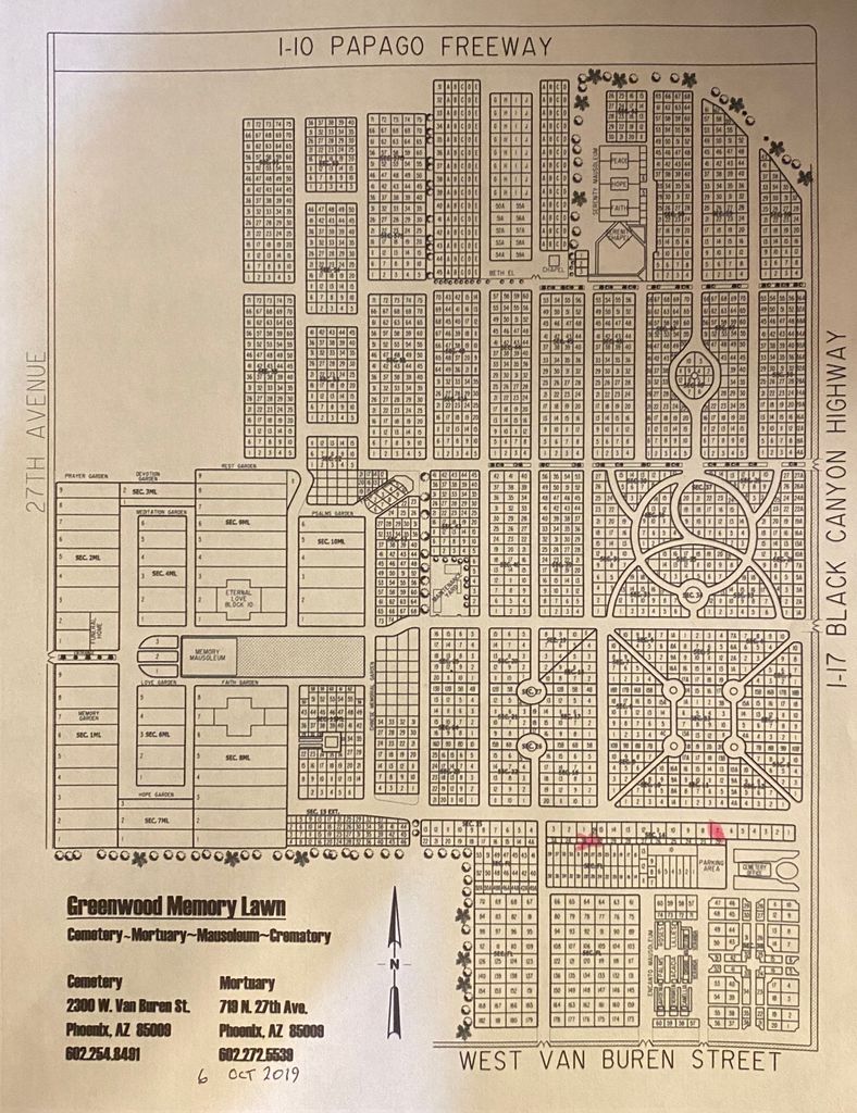
| Description | : | Chinese Memorial Garden is a section. Greenwood Memorial Park was established in 1906 by Arizona Lodge #2 of the Free and Accepted Masons. In 1947, Memory Lawn Memorial Park was established as a separate cemetery to the west of the existing Greenwood. These two cemeteries were combined in 1989 which created the largest cemetery in Arizona. Still active, there are well over 100,000 souls interred at the combined facility. Photo Requests: The office is reluctant to work with Find A Grave photo volunteers and the cemetery is much too large to find a request without a plot number. Please call or... Read More |
frequently asked questions (FAQ):
-
Where is Greenwood Memory Lawn Cemetery?
Greenwood Memory Lawn Cemetery is located at 2300 West Van Buren Street Phoenix, Maricopa County ,Arizona , 85009USA.
-
Greenwood Memory Lawn Cemetery cemetery's updated grave count on graveviews.com?
112 memorials
-
Where are the coordinates of the Greenwood Memory Lawn Cemetery?
Latitude: 33.4557991
Longitude: -112.1097031
Nearby Cemetories:
1. Beth El Cemetery
Phoenix, Maricopa County, USA
Coordinate: 33.4592018, -112.1117020
2. Rosedale Cemetery
Phoenix, Maricopa County, USA
Coordinate: 33.4465140, -112.0908180
3. Pioneer and Military Memorial Park
Phoenix, Maricopa County, USA
Coordinate: 33.4464690, -112.0903850
4. City Loosley Cemetery
Phoenix, Maricopa County, USA
Coordinate: 33.4450100, -112.0909040
5. Porter Cemetery
Phoenix, Maricopa County, USA
Coordinate: 33.4462630, -112.0898040
6. Masons Cemetery
Phoenix, Maricopa County, USA
Coordinate: 33.4455060, -112.0898580
7. Independent Order of Odd Fellows Cemetery
Phoenix, Maricopa County, USA
Coordinate: 33.4451220, -112.0898740
8. Knights of Pythias Cemetery
Phoenix, Maricopa County, USA
Coordinate: 33.4447460, -112.0898310
9. Ancient Order of United Workmen Cemetery
Phoenix, Maricopa County, USA
Coordinate: 33.4443830, -112.0898100
10. Beth Israel Cemetery
Phoenix, Maricopa County, USA
Coordinate: 33.4444008, -112.1327972
11. Cementerio Lindo
Phoenix, Maricopa County, USA
Coordinate: 33.4304390, -112.0925598
12. Trinity Episcopal Cathedral Columbarium
Phoenix, Maricopa County, USA
Coordinate: 33.4590270, -112.0749940
13. Encanto Community Church Memorial Garden
Phoenix, Maricopa County, USA
Coordinate: 33.4793340, -112.0835480
14. Faith Lutheran Church Columbarium
Phoenix, Maricopa County, USA
Coordinate: 33.5088420, -112.0640250
15. Arizona State Hospital Cemetery
Phoenix, Maricopa County, USA
Coordinate: 33.4525960, -112.0295240
16. First United Methodist Church Columbarium
Phoenix, Maricopa County, USA
Coordinate: 33.5167465, -112.0740433
17. Sotelo–Heard Ranch Cemetery
Phoenix, Maricopa County, USA
Coordinate: 33.4035260, -112.0536480
18. Shepherd of the Valley Lutheran Church
Phoenix, Maricopa County, USA
Coordinate: 33.5315580, -112.0914890
19. All Saints Episcopal Church Cemetery
Phoenix, Maricopa County, USA
Coordinate: 33.5297000, -112.0746000
20. Saint Marys Episcopal Church Cemetery
Phoenix, Maricopa County, USA
Coordinate: 33.5321080, -112.1431430
21. Trinity United Methodist Church Memorial Garden
Phoenix, Maricopa County, USA
Coordinate: 33.5387480, -112.1261220
22. Church of the Beatitudes Columbarium
Phoenix, Maricopa County, USA
Coordinate: 33.5380000, -112.0815000
23. Orangewood Presbyterian Church Memorial Gardens
Phoenix, Maricopa County, USA
Coordinate: 33.5442630, -112.0601860
24. Trinity Mennonite Church Columbarium
Glendale, Maricopa County, USA
Coordinate: 33.5468000, -112.1529000

