
| Memorials | : | 0 |
| Location | : | Groningen, Groningen Municipality, Netherlands |
| Coordinate | : | 53.2305560, 6.5505560 |
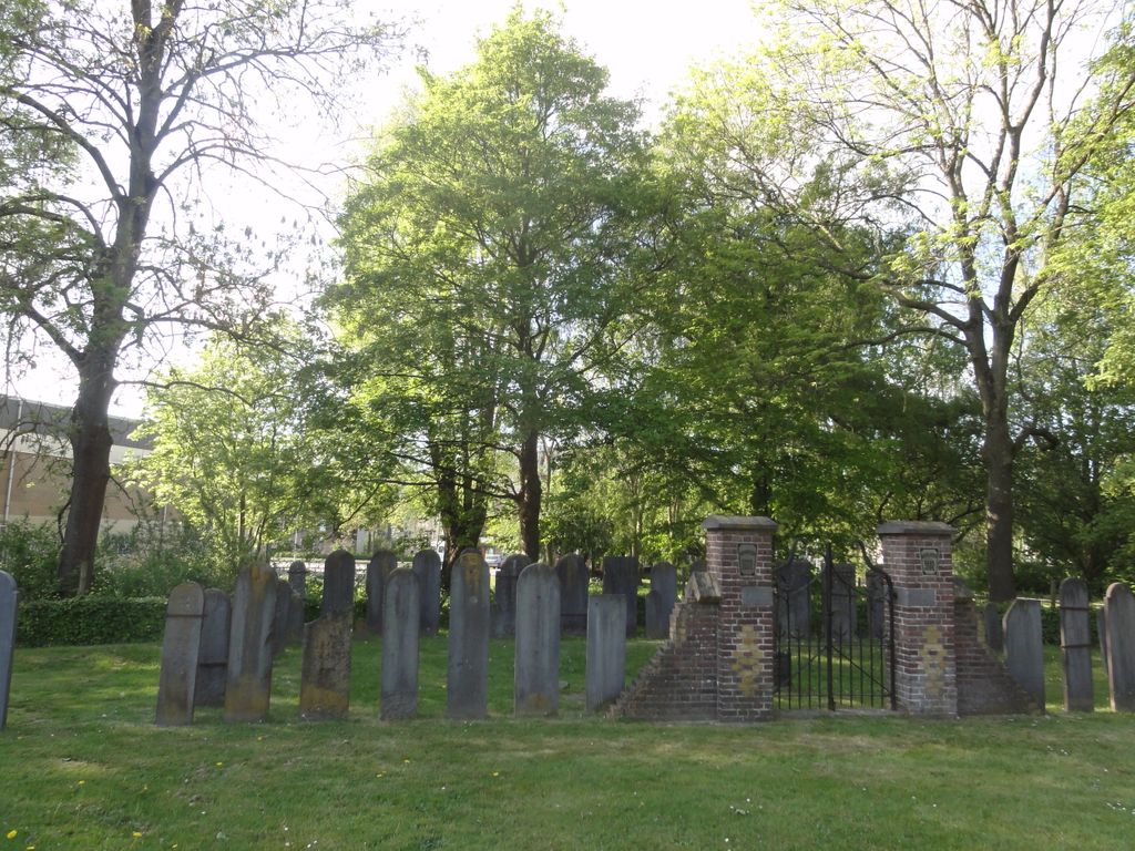
| Description | : | In use 1827-1909 The first Jewish cemetery, the Jewish camp on the Bloemsingel, was purchased in 1747, before that date the dead were buried in Leeuwarden, Appingedam or the Pekelas. Between 1838 and 1909 a part of the General Noorder Cemetery outside the former Boteringepoort was used as a Jewish cemetery (Moesstraat cemetery) |
frequently asked questions (FAQ):
-
Where is Joodse Begraafplaats Moesstraat?
Joodse Begraafplaats Moesstraat is located at Moesstraat 98 Groningen, Groningen Municipality ,Groningen , 9741 ACNetherlands.
-
Joodse Begraafplaats Moesstraat cemetery's updated grave count on graveviews.com?
0 memorials
-
Where are the coordinates of the Joodse Begraafplaats Moesstraat?
Latitude: 53.2305560
Longitude: 6.5505560
Nearby Cemetories:
1. Groningen Noorderbegraafplaats
Groningen, Groningen Municipality, Netherlands
Coordinate: 53.2305500, 6.5523300
2. Crematorium Groningen
Groningen, Groningen Municipality, Netherlands
Coordinate: 53.2383066, 6.5448000
3. Selwerderhof Cemetery
Groningen, Groningen Municipality, Netherlands
Coordinate: 53.2394500, 6.5534100
4. Joodse Begraafplaats Iepenlaan
Groningen, Groningen Municipality, Netherlands
Coordinate: 53.2402780, 6.5544440
5. Groningen Zuiderbegraafplaats
Groningen, Groningen Municipality, Netherlands
Coordinate: 53.2061100, 6.5720200
6. Dorkwerd Cemetery
Dorkwerd, Groningen Municipality, Netherlands
Coordinate: 53.2504800, 6.5120500
7. Hoogkerk General Cemetery
Hoogkerk, Groningen Municipality, Netherlands
Coordinate: 53.2241600, 6.5000500
8. Leegkerk Cemetery
Leegkerk, Groningen Municipality, Netherlands
Coordinate: 53.2298700, 6.4904700
9. Begraafplaats Wierum
Wierumerschouw, Zuidhorn Municipality, Netherlands
Coordinate: 53.2683085, 6.5122962
10. Noorddijk General Cemetery
Noorddijk, Groningen Municipality, Netherlands
Coordinate: 53.2434500, 6.6258200
11. Esserveld General Cemetery
Groningen, Groningen Municipality, Netherlands
Coordinate: 53.1894200, 6.5928600
12. Begraafplaats Aduard
Aduard, Zuidhorn Municipality, Netherlands
Coordinate: 53.2569012, 6.4631144
13. Sauwerd New Cemetery
Sauwerd, Winsum Municipality, Netherlands
Coordinate: 53.2975400, 6.5357900
14. Bedum Algemene Begraafplaats
Bedum, Bedum Municipality, Netherlands
Coordinate: 53.2969400, 6.6033200
15. Roderwolde Cemetery
Roderwolde, Noordenveld Municipality, Netherlands
Coordinate: 53.1744600, 6.4692700
16. Thesinge Begraafplaats
Thesinge, Ten Boer Municipality, Netherlands
Coordinate: 53.2721400, 6.6550500
17. Haren Eshof Cemetery
Haren, Haren Municipality, Netherlands
Coordinate: 53.1623800, 6.6124700
18. Zuidhorn New Cemetery
Zuidhorn, Zuidhorn Municipality, Netherlands
Coordinate: 53.2399900, 6.4111100
19. Zuidhorn Old Cemetery
Zuidhorn, Zuidhorn Municipality, Netherlands
Coordinate: 53.2430800, 6.4049200
20. Sint Annen Begraafplaats
Sint Annen, Ten Boer Municipality, Netherlands
Coordinate: 53.2965300, 6.6592300
21. Eelde General Cemetery
Eelde, Tynaarlo Municipality, Netherlands
Coordinate: 53.1351100, 6.5649200
22. Bellingeweer Cemetery
Bellingeweer, Winsum Municipality, Netherlands
Coordinate: 53.3253200, 6.5182100
23. Begraafplaats Peize
Peize, Noordenveld Municipality, Netherlands
Coordinate: 53.1411443, 6.4885591
24. Begraafplaats Peize
Peize, Noordenveld Municipality, Netherlands
Coordinate: 53.1411443, 6.4885591