
| Memorials | : | 0 |
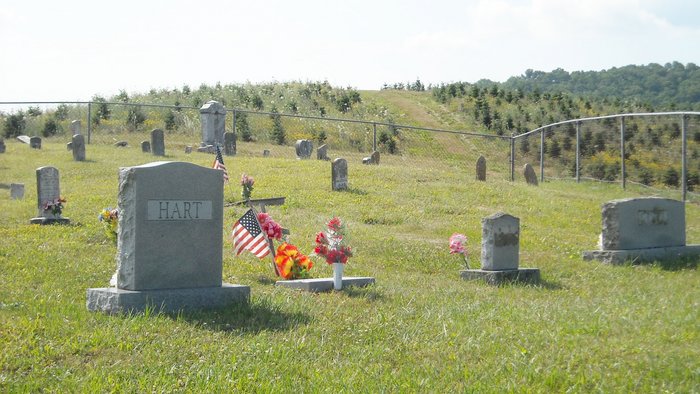
| Location | : | Grayson County, USA |
| Coordinate | : | 36.6757770, -81.4072420 |
| Description | : | From the junction of Troutdale Hwy (SR 16) and Rocky Hollow Rd (Rt 739) go northwest 0.55 mile on Rocky Hollow Rd to driveway on right side of road. Take the driveway approximtely 800 ft northeast to the cemetery on ridge. |
frequently asked questions (FAQ):
-
Where is Grubb Cemetery?
Grubb Cemetery is located at Between Grant and Troutdale Grayson County ,Virginia ,USA.
-
Grubb Cemetery cemetery's updated grave count on graveviews.com?
0 memorials
-
Where are the coordinates of the Grubb Cemetery?
Latitude: 36.6757770
Longitude: -81.4072420
Nearby Cemetories:
1. Liberty Hill Baptist Church Cemetery
Grant, Grayson County, USA
Coordinate: 36.6688995, -81.4064026
2. Byram Ross Cemetery
Barton Crossroad, Grayson County, USA
Coordinate: 36.6817270, -81.3938530
3. Grant Community Cemetery
Grant, Grayson County, USA
Coordinate: 36.6624180, -81.4027100
4. Pugh-Greear Cemetery
Grant, Grayson County, USA
Coordinate: 36.6552800, -81.4055330
5. Charles Hoffman Cemetery
Flat Ridge, Grayson County, USA
Coordinate: 36.6673760, -81.3832750
6. Razor Ridge Cemetery
Grant, Grayson County, USA
Coordinate: 36.6970499, -81.3873213
7. Herald Pugh Family Cemetery
Grayson County, USA
Coordinate: 36.6465111, -81.4066467
8. Pugh Cemetery
Grayson County, USA
Coordinate: 36.6445820, -81.4199140
9. Parks Cemetery
Grayson County, USA
Coordinate: 36.6927986, -81.3696976
10. Rockbridge Baptist Church Cemetery
Grant, Grayson County, USA
Coordinate: 36.6718830, -81.3635510
11. Shelton Family Cemetery
Mouth of Wilson, Grayson County, USA
Coordinate: 36.6489000, -81.4358000
12. Reedy Cemetery
Grayson County, USA
Coordinate: 36.6474991, -81.3752975
13. Riley Preston Parks Cemetery
Grant, Grayson County, USA
Coordinate: 36.6960210, -81.3664240
14. Young Cemetery
Mouth of Wilson, Grayson County, USA
Coordinate: 36.6333997, -81.4127455
15. Fielden Mack Young Cemetery
Mouth of Wilson, Grayson County, USA
Coordinate: 36.6333710, -81.4127510
16. Perkins Cemetery
Grayson County, USA
Coordinate: 36.6739006, -81.3525009
17. Wiley Perkins Cemetery
Barton Crossroad, Grayson County, USA
Coordinate: 36.6740960, -81.3523310
18. Thomas Cemetery
Barton Crossroad, Grayson County, USA
Coordinate: 36.6530310, -81.3569760
19. Bartons Crossroads Cemetery
Barton Crossroad, Grayson County, USA
Coordinate: 36.6576080, -81.3528595
20. New Hope Cemetery
Barton Crossroad, Grayson County, USA
Coordinate: 36.6580582, -81.3512268
21. James Cemetery
Grayson County, USA
Coordinate: 36.6822014, -81.3455963
22. Anderson Cemetery
Grayson County, USA
Coordinate: 36.6711006, -81.3452988
23. Anderson Family Cemetery
Barton Crossroad, Grayson County, USA
Coordinate: 36.6711710, -81.3452620
24. Wright Wingate Family Cemetery #2
Barton Crossroad, Grayson County, USA
Coordinate: 36.6482000, -81.3516000