
| Memorials | : | 7 |
| Location | : | Batson, Hardin County, USA |
| Coordinate | : | 30.2143993, -94.6033020 |
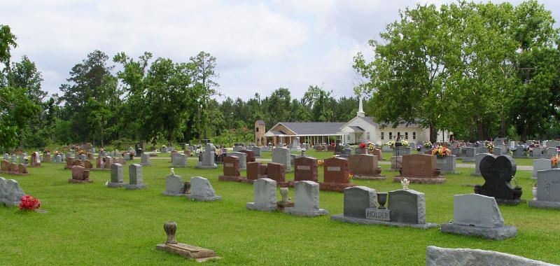
| Description | : | 2.5 mi. south of Batson via FM 770, south to Cemetery Road. The land, for the cemetery, was donated by Jerisan Guedry (his mother was one of the early settlers on Batson Prairie) and his son-in-law Marion Smith. Jerisan Guedry's grandson, Nathaniel Foreman, is the first recorded burial in 1900. The site is maintained through a perpetual trust and has (as of 1997) more than 2,000 burials. |
frequently asked questions (FAQ):
-
Where is Guedry Cemetery?
Guedry Cemetery is located at Cemetery Road Batson, Hardin County ,Texas ,USA.
-
Guedry Cemetery cemetery's updated grave count on graveviews.com?
6 memorials
-
Where are the coordinates of the Guedry Cemetery?
Latitude: 30.2143993
Longitude: -94.6033020


Nearby Cemetories:
1. Jordan Cemetery
Batson, Hardin County, USA
Coordinate: 30.2482970, -94.6085070
2. West Cemetery
Batson, Hardin County, USA
Coordinate: 30.2502990, -94.6205230
3. Knight Cemetery
Batson, Hardin County, USA
Coordinate: 30.2536130, -94.6356300
4. Teel Cemetery
Saratoga, Hardin County, USA
Coordinate: 30.2585280, -94.5122910
5. Midtown Cemetery
Saratoga, Hardin County, USA
Coordinate: 30.2872009, -94.5227966
6. Crawford Family Cemetery
Saratoga, Hardin County, USA
Coordinate: 30.2868710, -94.5221510
7. Oil Town Cemetery
Saratoga, Hardin County, USA
Coordinate: 30.2816570, -94.5125480
8. Pittman Cemetery
Saratoga, Hardin County, USA
Coordinate: 30.2224690, -94.4662520
9. Jackson Settlement Cemetery
Saratoga, Hardin County, USA
Coordinate: 30.3351364, -94.5728972
10. Roadside Memorial Baptist Church Cemetery
Saratoga, Hardin County, USA
Coordinate: 30.2923200, -94.4906300
11. Breaux Cemetery
Sour Lake, Hardin County, USA
Coordinate: 30.2171610, -94.4227690
12. Felps Cemetery
Thicket, Hardin County, USA
Coordinate: 30.3742008, -94.5975037
13. Millhollon Cemetery
Sour Lake, Hardin County, USA
Coordinate: 30.1179300, -94.4372390
14. Jackson Family Cemetery
Sour Lake, Hardin County, USA
Coordinate: 30.1423710, -94.4084360
15. Hall Cemetery
Thicket, Hardin County, USA
Coordinate: 30.3999996, -94.6159973
16. Grayburg Black Cemetery
Hardin County, USA
Coordinate: 30.1142310, -94.4193190
17. Rosedale Cemetery
Sour Lake, Hardin County, USA
Coordinate: 30.1313992, -94.3981018
18. Grayburg Old Cemetery
Sour Lake, Hardin County, USA
Coordinate: 30.1144009, -94.4080963
19. PineGrove Cemetery
Sour Lake, Hardin County, USA
Coordinate: 30.1154900, -94.4037900
20. Pine Ridge Cemetery
Sour Lake, Hardin County, USA
Coordinate: 30.2016900, -94.3554600
21. Griffin Cemetery
Kountze, Hardin County, USA
Coordinate: 30.4333000, -94.5318985
22. Jordan Cemetery
Honey Island, Hardin County, USA
Coordinate: 30.3917350, -94.4353330
23. Votaw Cemetery
Votaw, Hardin County, USA
Coordinate: 30.4404160, -94.6766420
24. Sutton Cemetery
Honey Island, Hardin County, USA
Coordinate: 30.4377995, -94.5017014