
| Memorials | : | 0 |
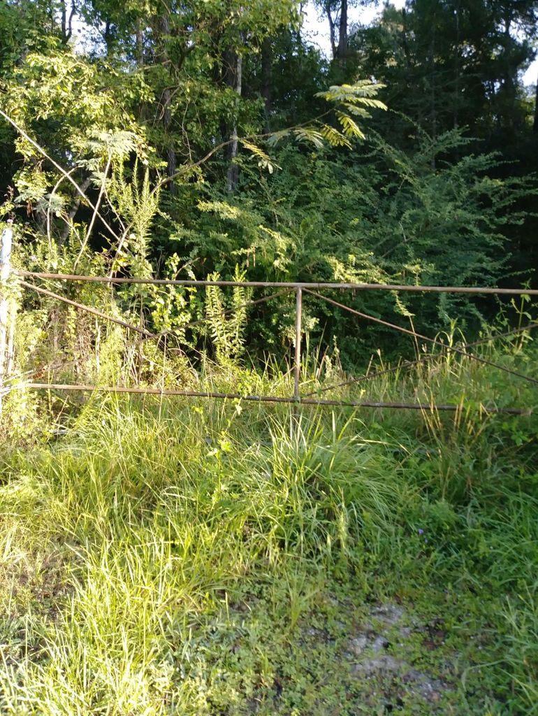
| Location | : | Batson, Hardin County, USA |
| Coordinate | : | 30.2502990, -94.6205230 |
| Description | : | From the junction of Hwy 105 and Hwy 770 South in Batson, Texas go west about 0.5 miles. Cemetery is on the right about 200 yards off Hwy 105 on a dirt path. |
frequently asked questions (FAQ):
-
Where is West Cemetery?
West Cemetery is located at Batson, Hardin County ,Texas ,USA.
-
West Cemetery cemetery's updated grave count on graveviews.com?
0 memorials
-
Where are the coordinates of the West Cemetery?
Latitude: 30.2502990
Longitude: -94.6205230
Nearby Cemetories:
1. Jordan Cemetery
Batson, Hardin County, USA
Coordinate: 30.2482970, -94.6085070
2. Knight Cemetery
Batson, Hardin County, USA
Coordinate: 30.2536130, -94.6356300
3. Guedry Cemetery
Batson, Hardin County, USA
Coordinate: 30.2143993, -94.6033020
4. Midtown Cemetery
Saratoga, Hardin County, USA
Coordinate: 30.2872009, -94.5227966
5. Crawford Family Cemetery
Saratoga, Hardin County, USA
Coordinate: 30.2868710, -94.5221510
6. Teel Cemetery
Saratoga, Hardin County, USA
Coordinate: 30.2585280, -94.5122910
7. Jackson Settlement Cemetery
Saratoga, Hardin County, USA
Coordinate: 30.3351364, -94.5728972
8. Oil Town Cemetery
Saratoga, Hardin County, USA
Coordinate: 30.2816570, -94.5125480
9. Roadside Memorial Baptist Church Cemetery
Saratoga, Hardin County, USA
Coordinate: 30.2923200, -94.4906300
10. Felps Cemetery
Thicket, Hardin County, USA
Coordinate: 30.3742008, -94.5975037
11. Pittman Cemetery
Saratoga, Hardin County, USA
Coordinate: 30.2224690, -94.4662520
12. Hall Cemetery
Thicket, Hardin County, USA
Coordinate: 30.3999996, -94.6159973
13. Breaux Cemetery
Sour Lake, Hardin County, USA
Coordinate: 30.2171610, -94.4227690
14. Votaw Cemetery
Votaw, Hardin County, USA
Coordinate: 30.4404160, -94.6766420
15. Griffin Cemetery
Kountze, Hardin County, USA
Coordinate: 30.4333000, -94.5318985
16. Millhollon Cemetery
Sour Lake, Hardin County, USA
Coordinate: 30.1179300, -94.4372390
17. Jackson Family Cemetery
Sour Lake, Hardin County, USA
Coordinate: 30.1423710, -94.4084360
18. Jordan Cemetery
Honey Island, Hardin County, USA
Coordinate: 30.3917350, -94.4353330
19. Sutton Cemetery
Honey Island, Hardin County, USA
Coordinate: 30.4377995, -94.5017014
20. Grayburg Black Cemetery
Hardin County, USA
Coordinate: 30.1142310, -94.4193190
21. Solid Rock Full Gospel Cemetery
Votaw, Hardin County, USA
Coordinate: 30.4623820, -94.7110900
22. Rosedale Cemetery
Sour Lake, Hardin County, USA
Coordinate: 30.1313992, -94.3981018
23. Grayburg Old Cemetery
Sour Lake, Hardin County, USA
Coordinate: 30.1144009, -94.4080963
24. Bracken Cemetery
Honey Island, Hardin County, USA
Coordinate: 30.3931007, -94.4131012