
| Memorials | : | 10 |
| Location | : | Mount Gilead, Montgomery County, USA |
| Coordinate | : | 35.1593370, -80.0138730 |
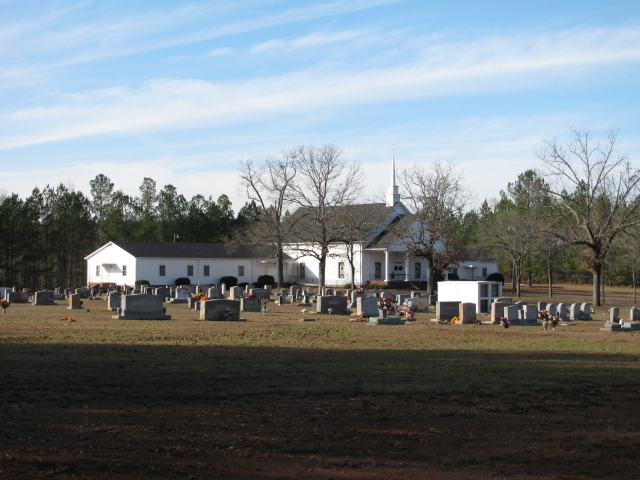
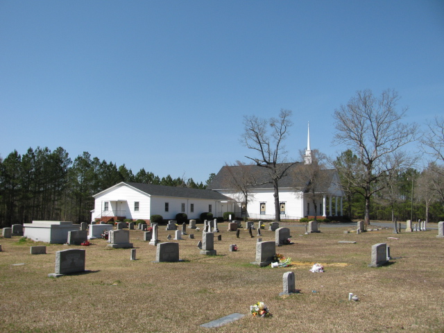
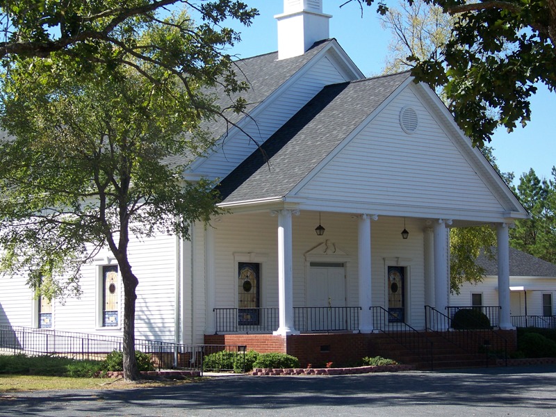
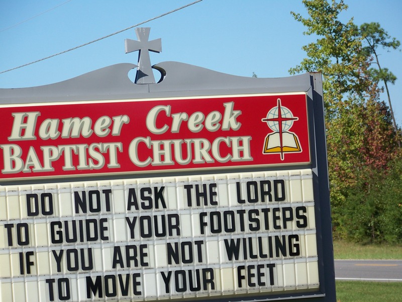
| Description | : | The Hamer Creek Baptist Cemetery was established in 1881 with the burial of 20 year old William Scarboro. The Cemetery is located on the grounds of the Hamer Creek Baptist Church near Mount Gilead, North Carolina. Take Highway 109 south from Mount Gilead, N.C. Church and cemetery will be on the right on Highway 109. |
frequently asked questions (FAQ):
-
Where is Hamer Creek Baptist Church Cemetery?
Hamer Creek Baptist Church Cemetery is located at Mount Gilead, Montgomery County ,North Carolina ,USA.
-
Hamer Creek Baptist Church Cemetery cemetery's updated grave count on graveviews.com?
7 memorials
-
Where are the coordinates of the Hamer Creek Baptist Church Cemetery?
Latitude: 35.1593370
Longitude: -80.0138730
Nearby Cemetories:
1. Melton Grove United Methodist Church Cemetery
Mount Gilead, Montgomery County, USA
Coordinate: 35.1698160, -80.0134250
2. Thomasville Missionary Baptist Church Cemetery
Mount Gilead, Montgomery County, USA
Coordinate: 35.1718180, -80.0203510
3. Galloway Cemetery
Mount Gilead, Montgomery County, USA
Coordinate: 35.1779210, -80.0155840
4. Saint Stephen AME Church Cemetery
Mount Gilead, Montgomery County, USA
Coordinate: 35.1479550, -80.0447190
5. Frazier Family Cemetery
Mount Gilead, Montgomery County, USA
Coordinate: 35.1786400, -79.9854870
6. Mount Airy AME Zion Church Cemetery
Mangum, Richmond County, USA
Coordinate: 35.1319500, -79.9971600
7. Chestnut AME Zion Church Cemetery
Richmond County, USA
Coordinate: 35.1269770, -80.0311010
8. Oliver Grove Baptist Church Cemetery
Mangum, Richmond County, USA
Coordinate: 35.1305440, -79.9857090
9. Oliver Grove Missionary Baptist Church Cemetery
Mount Gilead, Montgomery County, USA
Coordinate: 35.1303220, -79.9854950
10. Pleasant Grove Church Cemetery
Mount Gilead, Montgomery County, USA
Coordinate: 35.1967010, -79.9944000
11. Legrand Cemetery
Richmond County, USA
Coordinate: 35.1156006, -80.0227966
12. Old Hebron Methodist Church Cemetery
Mangum, Richmond County, USA
Coordinate: 35.1155270, -79.9863650
13. Wall-Almond Cemetery
Norwood, Stanly County, USA
Coordinate: 35.1718150, -80.0760200
14. Watkins Cemetery
Norwood, Stanly County, USA
Coordinate: 35.1860940, -80.0738730
15. Sharon Presbyterian Church
Mount Gilead, Montgomery County, USA
Coordinate: 35.2156780, -80.0024410
16. Pemberton Cemetery
Richmond County, USA
Coordinate: 35.1020570, -79.9932800
17. Machine House Cemetery
Richmond County, USA
Coordinate: 35.0992012, -80.0246964
18. Sharon Cemetery
Mount Gilead, Montgomery County, USA
Coordinate: 35.2136002, -79.9796982
19. Ingram Chapel Cemetery
Mount Gilead, Montgomery County, USA
Coordinate: 35.1971130, -79.9533320
20. Bethel Baptist Church Cemetery
Mount Gilead, Montgomery County, USA
Coordinate: 35.2234300, -80.0391800
21. Snow Hill AME Zion Church Cemetery
Mangum, Richmond County, USA
Coordinate: 35.1328380, -79.9269970
22. Ledbetter Cemetery
Richmond County, USA
Coordinate: 35.1506004, -79.9214020
23. Gaddy-Allen-Threadgill Cemetery
Ansonville, Anson County, USA
Coordinate: 35.1275250, -80.1046820
24. George Stanback Cemetery
Ellerbe, Richmond County, USA
Coordinate: 35.1233660, -79.9218680