
| Memorials | : | 0 |
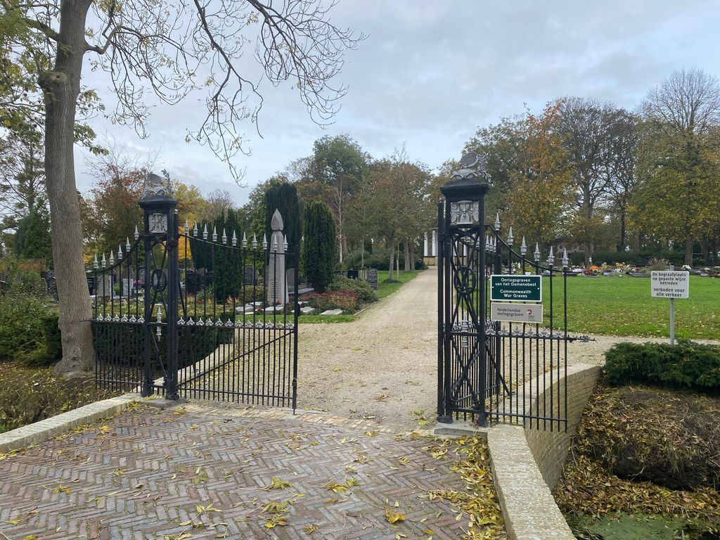
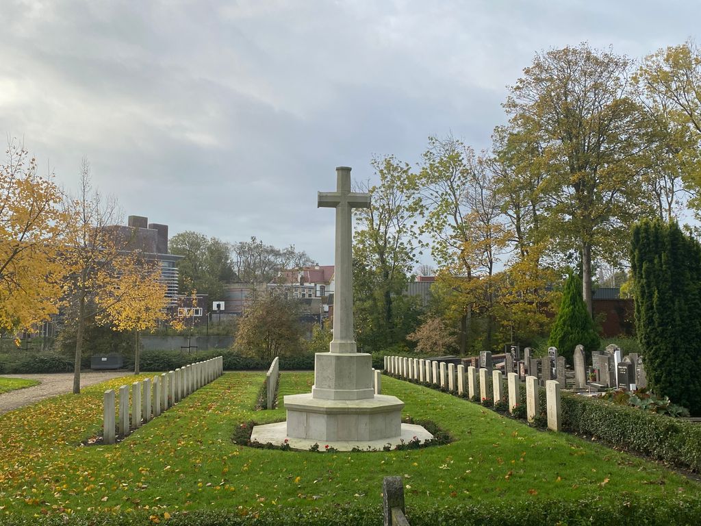
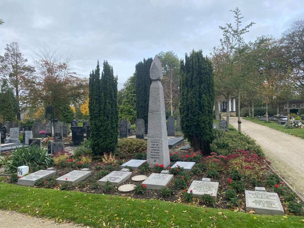
| Location | : | Harlingen, Harlingen Municipality, Netherlands |
| Coordinate | : | 53.1780100, 5.4245900 |
frequently asked questions (FAQ):
-
Where is Harlingen General Cemetery?
Harlingen General Cemetery is located at Harlingen, Harlingen Municipality ,Friesland ,Netherlands.
-
Harlingen General Cemetery cemetery's updated grave count on graveviews.com?
0 memorials
-
Where are the coordinates of the Harlingen General Cemetery?
Latitude: 53.1780100
Longitude: 5.4245900

Nearby Cemetories:
1. Harlingen Roman Catholic cemetery
Harlingen, Harlingen Municipality, Netherlands
Coordinate: 53.1720500, 5.4299800
2. Kimswerd Protestant Churchyard
Kimswerd, Sudwest Fryslan Municipality, Netherlands
Coordinate: 53.1412800, 5.4385400
3. Nederlands hervormde Kerk Herbaijum
Herbaijum, Franekeradeel Municipality, Netherlands
Coordinate: 53.1849700, 5.4952100
4. Franeker General Cemetery
Franeker, Franekeradeel Municipality, Netherlands
Coordinate: 53.1845100, 5.5330800
5. Oosterbierum Kerkhof
Oosterbierum, Franekeradeel Municipality, Netherlands
Coordinate: 53.2340554, 5.5108091
6. Witmarsum Protestant Churchyard
Witmarsum, Sudwest Fryslan Municipality, Netherlands
Coordinate: 53.1021800, 5.4661900
7. Johanneskerk - Protestantse Gemeente Tzum
Tzum, Franekeradeel Municipality, Netherlands
Coordinate: 53.1589801, 5.5629124
8. Kerkhof Sint Martinuskerk
Tzummarum, Franekeradeel Municipality, Netherlands
Coordinate: 53.2365670, 5.5436750
9. Sint Gertrudistsjerke
Peins, Franekeradeel Municipality, Netherlands
Coordinate: 53.2059212, 5.5950833
10. Tsjerkhôf Furdgum
Firdgum, Franekeradeel Municipality, Netherlands
Coordinate: 53.2484501, 5.5596364
11. Walburgatsjerke
Ried, Franekeradeel Municipality, Netherlands
Coordinate: 53.2231866, 5.5900183
12. Stevenskerk kerkhof
Skingen, Menaldumadeel Municipality, Netherlands
Coordinate: 53.2022626, 5.6179534
13. Doniakerk Kerkhof
Makkum, Sudwest Fryslan Municipality, Netherlands
Coordinate: 53.0597550, 5.3992650
14. Makkum Protestant Churchyard
Makkum, Sudwest Fryslan Municipality, Netherlands
Coordinate: 53.0595500, 5.3997500
15. Dionysiustsjerke
Slappeterp, Menaldumadeel Municipality, Netherlands
Coordinate: 53.2136468, 5.6199275
16. Algemene Begraafplaats
Bolsward, Sudwest Fryslan Municipality, Netherlands
Coordinate: 53.0677100, 5.5214800
17. Minnertsga Kerkhof
Minnertsga, Het Bildt Municipality, Netherlands
Coordinate: 53.2512016, 5.5942001
18. Kerkhof Salviuskerk / 'd Alde Wite
Dronrijp, Menaldumadeel Municipality, Netherlands
Coordinate: 53.1967232, 5.6435867
19. Idsegahuizum Kerkhof
Idsegahuizum, Sudwest Fryslan Municipality, Netherlands
Coordinate: 53.0433420, 5.4180270
20. Sint Jacobiparochie General Cemetery
Sint Jacobiparochie, Het Bildt Municipality, Netherlands
Coordinate: 53.2684100, 5.6041100
21. Tsjerkhôf Menaam
Menaam, Menaldumadeel Municipality, Netherlands
Coordinate: 53.2161718, 5.6616600
22. Kerkhof
Baard, Littenseradiel Municipality, Netherlands
Coordinate: 53.1423432, 5.6684373
23. Rooms-Katholiek Kerkhof St. Vituskerk
Blauwhuis, Sudwest Fryslan Municipality, Netherlands
Coordinate: 53.0228265, 5.5340636
24. Tirns Kerkhof
Tirns, Sudwest Fryslan Municipality, Netherlands
Coordinate: 53.0589810, 5.6260940