
| Memorials | : | 0 |
| Location | : | Makkum, Sudwest Fryslan Municipality, Netherlands |
| Coordinate | : | 53.0597550, 5.3992650 |
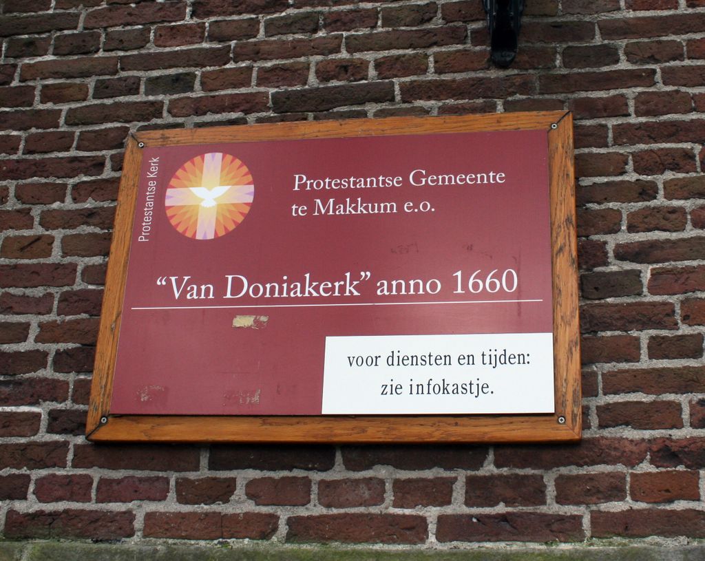
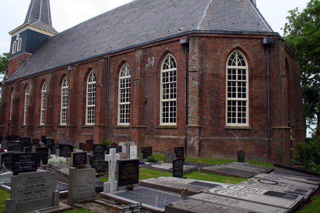
| Description | : | Graveyard surrounding the Donia Church in Makkum. There is also a cemetery across the street from the church. |
frequently asked questions (FAQ):
-
Where is Doniakerk Kerkhof?
Doniakerk Kerkhof is located at Makkum, Sudwest Fryslan Municipality ,Friesland ,Netherlands.
-
Doniakerk Kerkhof cemetery's updated grave count on graveviews.com?
0 memorials
-
Where are the coordinates of the Doniakerk Kerkhof?
Latitude: 53.0597550
Longitude: 5.3992650
Nearby Cemetories:
1. Makkum Protestant Churchyard
Makkum, Sudwest Fryslan Municipality, Netherlands
Coordinate: 53.0595500, 5.3997500
2. Idsegahuizum Kerkhof
Idsegahuizum, Sudwest Fryslan Municipality, Netherlands
Coordinate: 53.0433420, 5.4180270
3. Witmarsum Protestant Churchyard
Witmarsum, Sudwest Fryslan Municipality, Netherlands
Coordinate: 53.1021800, 5.4661900
4. Algemene Begraafplaats
Bolsward, Sudwest Fryslan Municipality, Netherlands
Coordinate: 53.0677100, 5.5214800
5. Hieslum Protestant Churchyard
Hieslum, Sudwest Fryslan Municipality, Netherlands
Coordinate: 53.0085400, 5.4884800
6. Kimswerd Protestant Churchyard
Kimswerd, Sudwest Fryslan Municipality, Netherlands
Coordinate: 53.1412800, 5.4385400
7. Workum Kerk
Workum, Sudwest Fryslan Municipality, Netherlands
Coordinate: 52.9789700, 5.4432000
8. Rooms-Katholiek Kerkhof St. Vituskerk
Blauwhuis, Sudwest Fryslan Municipality, Netherlands
Coordinate: 53.0228265, 5.5340636
9. Workum Spoordyk General Cemetery
Workum, Sudwest Fryslan Municipality, Netherlands
Coordinate: 52.9749667, 5.4484889
10. Joodse Begraafplaats
Workum, Sudwest Fryslan Municipality, Netherlands
Coordinate: 52.9720900, 5.4353100
11. Harlingen Roman Catholic cemetery
Harlingen, Harlingen Municipality, Netherlands
Coordinate: 53.1720500, 5.4299800
12. Hindeloopen Protestant Churchyard
Hindeloopen, Sudwest Fryslan Municipality, Netherlands
Coordinate: 52.9429100, 5.3984900
13. Harlingen General Cemetery
Harlingen, Harlingen Municipality, Netherlands
Coordinate: 53.1780100, 5.4245900
14. Idzega Klokkenstoel
Idzega, Sudwest Fryslan Municipality, Netherlands
Coordinate: 52.9775587, 5.5581642
15. Tirns Kerkhof
Tirns, Sudwest Fryslan Municipality, Netherlands
Coordinate: 53.0589810, 5.6260940
16. Nederlands hervormde Kerk Herbaijum
Herbaijum, Franekeradeel Municipality, Netherlands
Coordinate: 53.1849700, 5.4952100
17. Johanneskerk - Protestantse Gemeente Tzum
Tzum, Franekeradeel Municipality, Netherlands
Coordinate: 53.1589801, 5.5629124
18. Franeker General Cemetery
Franeker, Franekeradeel Municipality, Netherlands
Coordinate: 53.1845100, 5.5330800
19. Koudum General Cemetery
Koudum, Sudwest Fryslan Municipality, Netherlands
Coordinate: 52.9114400, 5.4456200
20. Molkwerum Protestant Churchyard
Molkwerum, Sudwest Fryslan Municipality, Netherlands
Coordinate: 52.9001600, 5.3992000
21. Oude Joodse Begraafplaats
Sneek, Sudwest Fryslan Municipality, Netherlands
Coordinate: 53.0362600, 5.6740600
22. Ijpecolsga General Cemetery
IJpecolsga, Sudwest Fryslan Municipality, Netherlands
Coordinate: 52.9344500, 5.6072800
23. Staveren General Cemetery
Stavoren, Sudwest Fryslan Municipality, Netherlands
Coordinate: 52.8820900, 5.3600500
24. Sint-MartinusKerk
Sudwest Fryslan Municipality, Netherlands
Coordinate: 53.0900008, 5.6961870