
| Memorials | : | 0 |
| Location | : | Makkum, Sudwest Fryslan Municipality, Netherlands |
| Coordinate | : | 53.0595500, 5.3997500 |
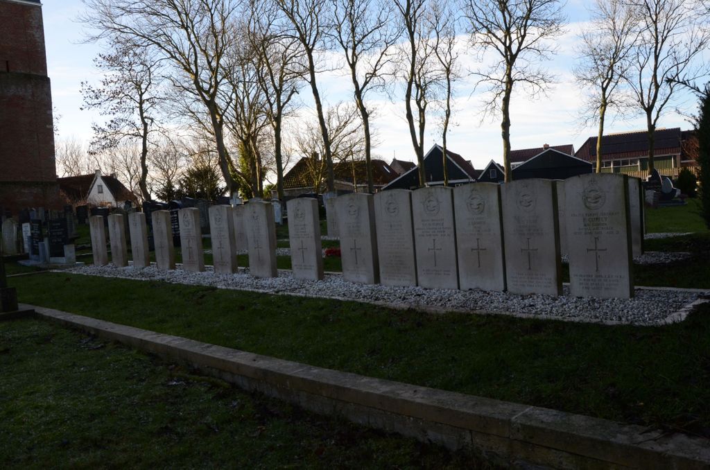
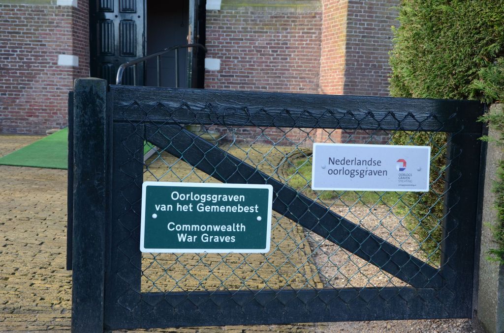
| Description | : | Makkum, administered by the commune of Wonseradeel, is on the eastern coast of the Ijsselmeer (Zuyder Zee) 13 kilometres south of Harlingen. The churchyard surrounds the church, which is on the northern outskirts of the village close to the dyke. |
frequently asked questions (FAQ):
-
Where is Makkum Protestant Churchyard?
Makkum Protestant Churchyard is located at Makkum, Sudwest Fryslan Municipality ,Friesland ,Netherlands.
-
Makkum Protestant Churchyard cemetery's updated grave count on graveviews.com?
0 memorials
-
Where are the coordinates of the Makkum Protestant Churchyard?
Latitude: 53.0595500
Longitude: 5.3997500
Nearby Cemetories:
1. Doniakerk Kerkhof
Makkum, Sudwest Fryslan Municipality, Netherlands
Coordinate: 53.0597550, 5.3992650
2. Idsegahuizum Kerkhof
Idsegahuizum, Sudwest Fryslan Municipality, Netherlands
Coordinate: 53.0433420, 5.4180270
3. Witmarsum Protestant Churchyard
Witmarsum, Sudwest Fryslan Municipality, Netherlands
Coordinate: 53.1021800, 5.4661900
4. Algemene Begraafplaats
Bolsward, Sudwest Fryslan Municipality, Netherlands
Coordinate: 53.0677100, 5.5214800
5. Hieslum Protestant Churchyard
Hieslum, Sudwest Fryslan Municipality, Netherlands
Coordinate: 53.0085400, 5.4884800
6. Workum Kerk
Workum, Sudwest Fryslan Municipality, Netherlands
Coordinate: 52.9789700, 5.4432000
7. Kimswerd Protestant Churchyard
Kimswerd, Sudwest Fryslan Municipality, Netherlands
Coordinate: 53.1412800, 5.4385400
8. Rooms-Katholiek Kerkhof St. Vituskerk
Blauwhuis, Sudwest Fryslan Municipality, Netherlands
Coordinate: 53.0228265, 5.5340636
9. Workum Spoordyk General Cemetery
Workum, Sudwest Fryslan Municipality, Netherlands
Coordinate: 52.9749667, 5.4484889
10. Joodse Begraafplaats
Workum, Sudwest Fryslan Municipality, Netherlands
Coordinate: 52.9720900, 5.4353100
11. Harlingen Roman Catholic cemetery
Harlingen, Harlingen Municipality, Netherlands
Coordinate: 53.1720500, 5.4299800
12. Hindeloopen Protestant Churchyard
Hindeloopen, Sudwest Fryslan Municipality, Netherlands
Coordinate: 52.9429100, 5.3984900
13. Harlingen General Cemetery
Harlingen, Harlingen Municipality, Netherlands
Coordinate: 53.1780100, 5.4245900
14. Idzega Klokkenstoel
Idzega, Sudwest Fryslan Municipality, Netherlands
Coordinate: 52.9775587, 5.5581642
15. Tirns Kerkhof
Tirns, Sudwest Fryslan Municipality, Netherlands
Coordinate: 53.0589810, 5.6260940
16. Nederlands hervormde Kerk Herbaijum
Herbaijum, Franekeradeel Municipality, Netherlands
Coordinate: 53.1849700, 5.4952100
17. Johanneskerk - Protestantse Gemeente Tzum
Tzum, Franekeradeel Municipality, Netherlands
Coordinate: 53.1589801, 5.5629124
18. Franeker General Cemetery
Franeker, Franekeradeel Municipality, Netherlands
Coordinate: 53.1845100, 5.5330800
19. Koudum General Cemetery
Koudum, Sudwest Fryslan Municipality, Netherlands
Coordinate: 52.9114400, 5.4456200
20. Molkwerum Protestant Churchyard
Molkwerum, Sudwest Fryslan Municipality, Netherlands
Coordinate: 52.9001600, 5.3992000
21. Oude Joodse Begraafplaats
Sneek, Sudwest Fryslan Municipality, Netherlands
Coordinate: 53.0362600, 5.6740600
22. Ijpecolsga General Cemetery
IJpecolsga, Sudwest Fryslan Municipality, Netherlands
Coordinate: 52.9344500, 5.6072800
23. Staveren General Cemetery
Stavoren, Sudwest Fryslan Municipality, Netherlands
Coordinate: 52.8820900, 5.3600500
24. Sint-MartinusKerk
Sudwest Fryslan Municipality, Netherlands
Coordinate: 53.0900008, 5.6961870