
| Memorials | : | 1 |
| Location | : | Newell, Randolph County, USA |
| Coordinate | : | 33.4413872, -85.4130554 |
| Description | : | Township 18, Range 12, Section 20 |
frequently asked questions (FAQ):
-
Where is Harmony Congregational Methodist Church Cemetery?
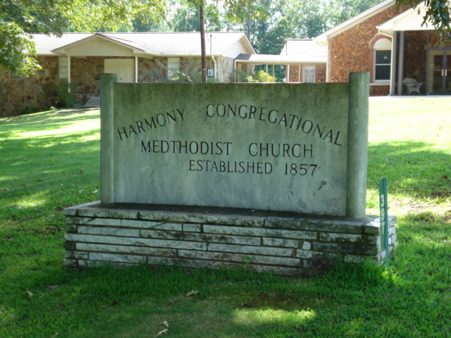
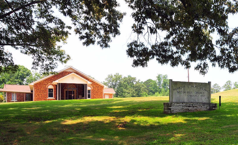
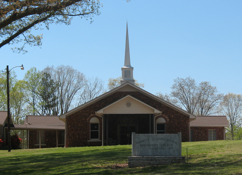
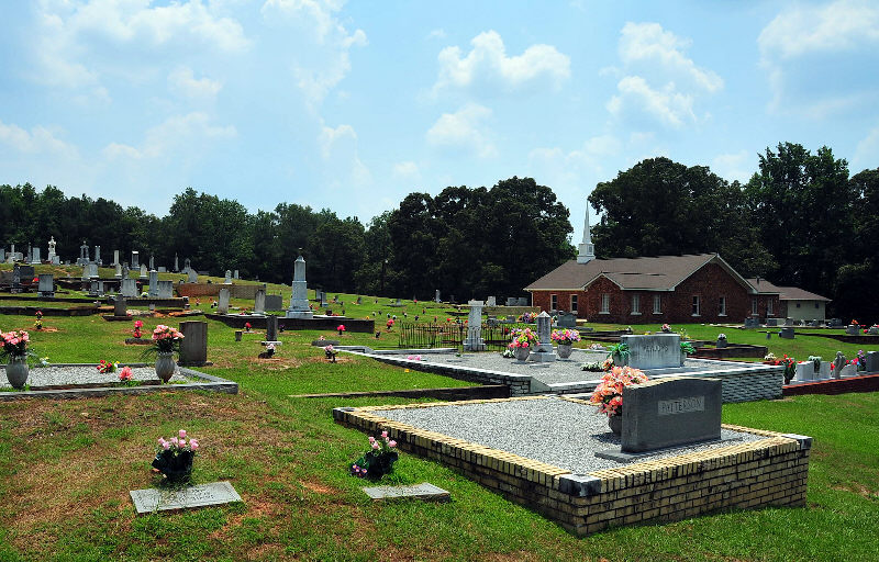
Harmony Congregational Methodist Church Cemetery is located at Newell, Randolph County ,Alabama ,USA.
-
Harmony Congregational Methodist Church Cemetery cemetery's updated grave count on graveviews.com?
1 memorials
-
Where are the coordinates of the Harmony Congregational Methodist Church Cemetery?
Latitude: 33.4413872
Longitude: -85.4130554
Nearby Cemetories:
1. Pine Hill Church of Christ Cemetery
Randolph County, USA
Coordinate: 33.4460600, -85.4085100
2. McLeod Family Cemetery
Randolph County, USA
Coordinate: 33.4598700, -85.4200700
3. Potter’s House Church Cemetery
Randolph County, USA
Coordinate: 33.4590498, -85.4251876
4. Antioch Baptist Church Cemetery
Newell, Randolph County, USA
Coordinate: 33.4325430, -85.4383240
5. Rice Cemetery
Randolph County, USA
Coordinate: 33.4612000, -85.4273100
6. Pine Hill Christian Church Cemetery
Randolph County, USA
Coordinate: 33.4629700, -85.4025500
7. Mount Gilead Baptist Church Cemetery
Newell, Randolph County, USA
Coordinate: 33.4239500, -85.4333100
8. Burden Cemetery
Newell, Randolph County, USA
Coordinate: 33.4225006, -85.4319458
9. Smyrna Missionary Cemetery
Randolph County, USA
Coordinate: 33.4607000, -85.4477000
10. Gold Ridge Baptist Church Cemetery
Randolph County, USA
Coordinate: 33.4884200, -85.3861500
11. Old Shiloh Church Cemetery
Graham, Randolph County, USA
Coordinate: 33.4488983, -85.3488998
12. Rock Springs Church Cemetery
Ranburne, Cleburne County, USA
Coordinate: 33.4942017, -85.4360962
13. Providence Baptist Church Cemetery
Providence, Randolph County, USA
Coordinate: 33.3970110, -85.3712540
14. Bethena Church Cemetery
Randolph County, USA
Coordinate: 33.4594002, -85.3411026
15. Union Baptist Church Cemetery
Newell, Randolph County, USA
Coordinate: 33.4193300, -85.4880900
16. Cool Springs United Methodist Church Cemetery
Randolph County, USA
Coordinate: 33.4904660, -85.4691480
17. Old Cool Spring Cemetery
Randolph County, USA
Coordinate: 33.3992004, -85.4824982
18. Jordan Chapel Methodist Church Cemetery
Newell, Randolph County, USA
Coordinate: 33.4576118, -85.4974540
19. Bethlehem Campground United Methodist Cemetery
Graham, Randolph County, USA
Coordinate: 33.4752680, -85.3313260
20. Shiloh Baptist Church Cemetery
Randolph County, USA
Coordinate: 33.4575530, -85.3229580
21. Cavers Grove Congregational Christian Cemetery
Randolph County, USA
Coordinate: 33.3927920, -85.4896480
22. Oak Grove A.M.E. Cemetery
Newell, Randolph County, USA
Coordinate: 33.4747120, -85.5006910
23. Daniel-McDow Cemetery
Graham, Randolph County, USA
Coordinate: 33.4088000, -85.3214800
24. Liberty Grove Church Cemetery
Randolph County, USA
Coordinate: 33.3569020, -85.4286910