
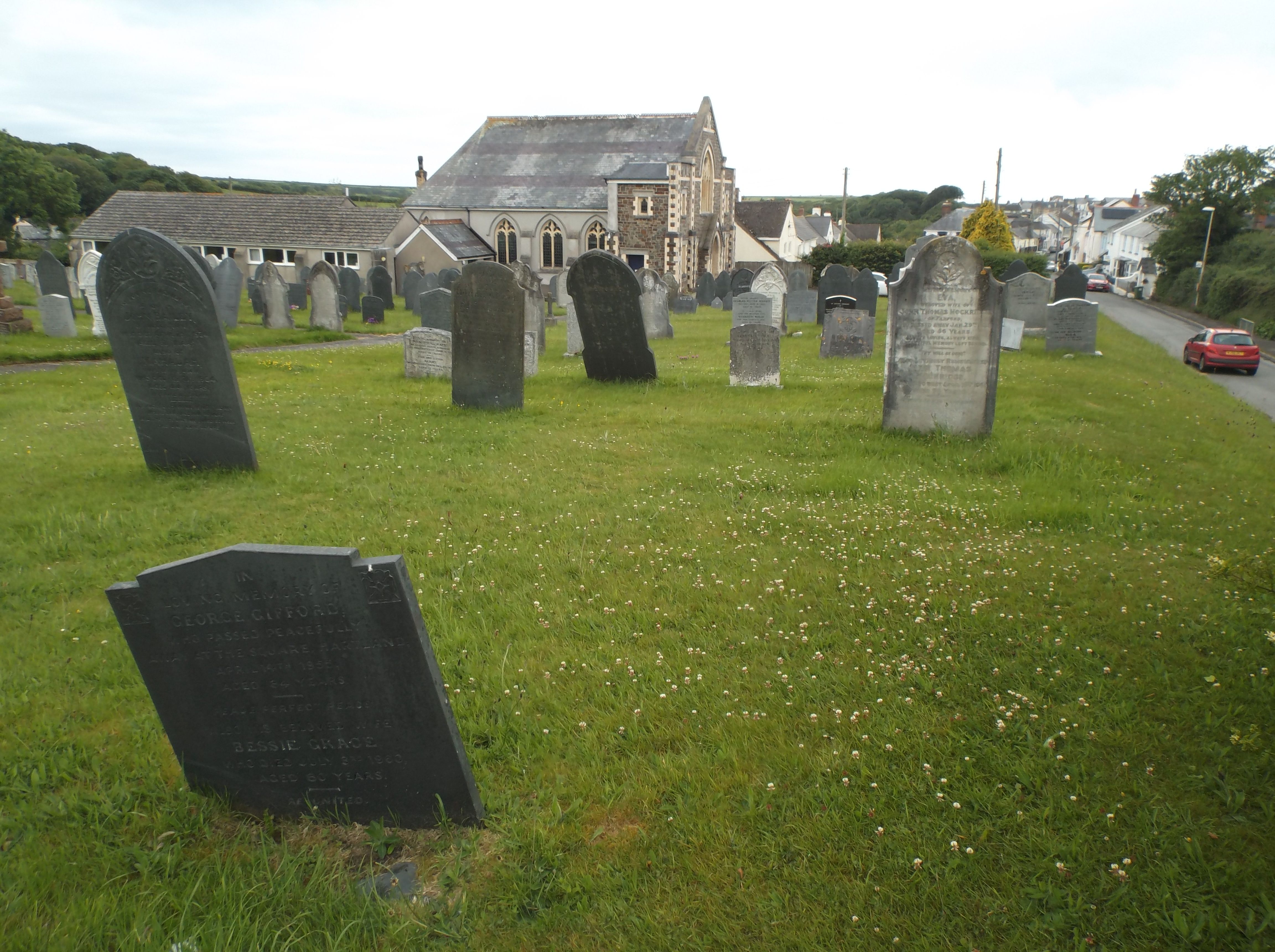
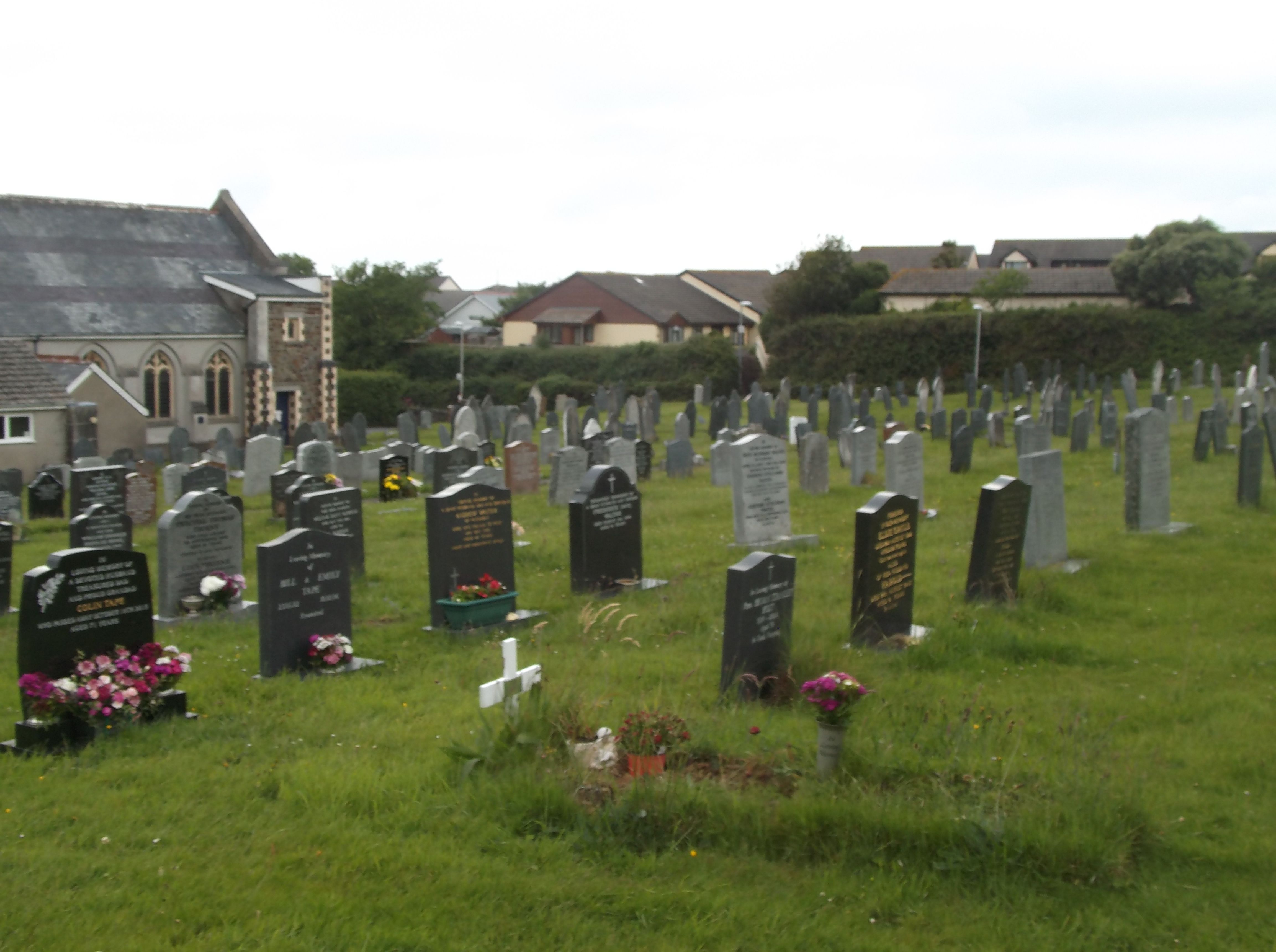
| Memorials | : | 36 |
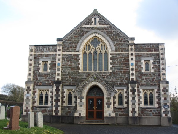
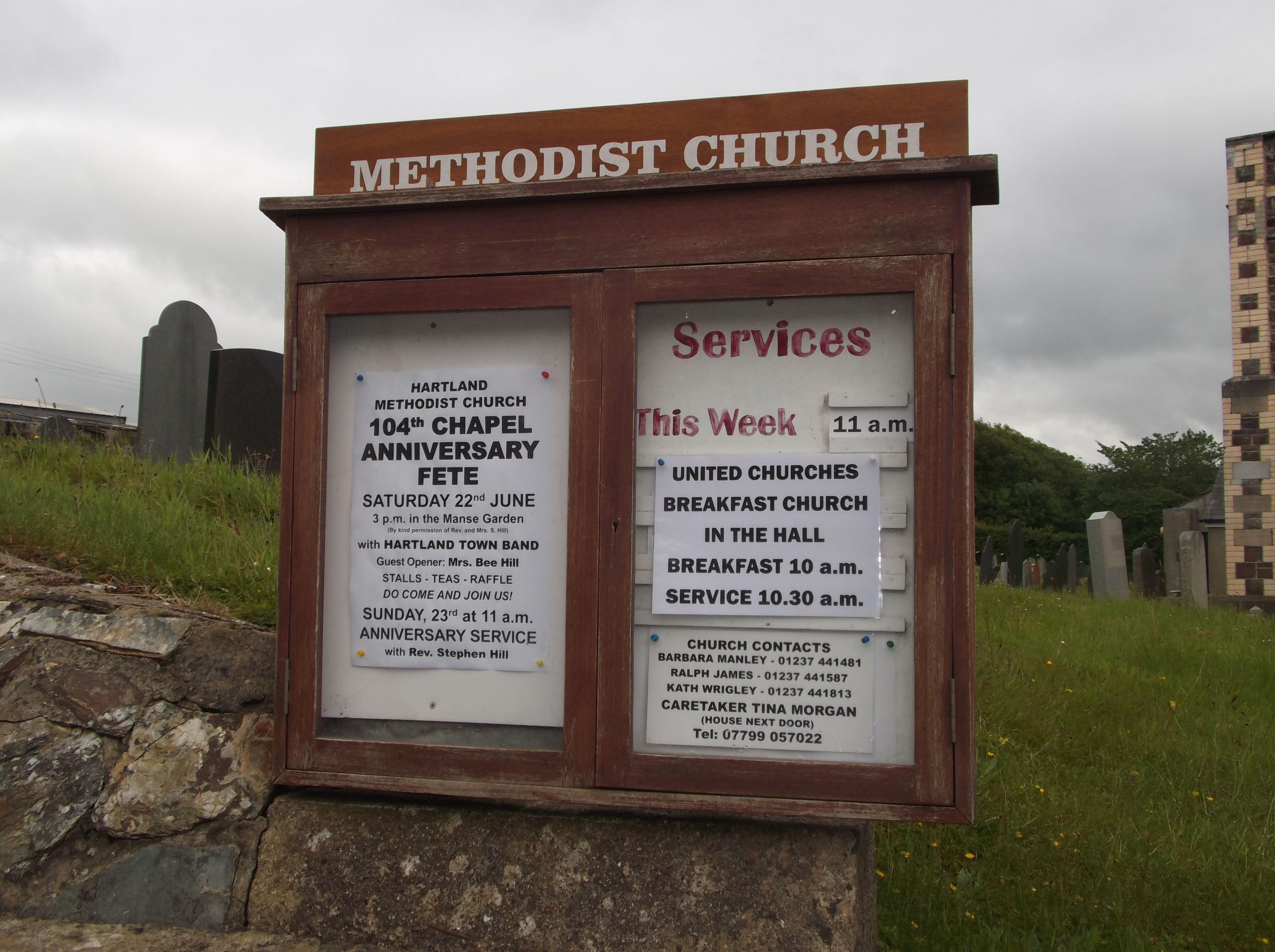
| Location | : | Hartland, Torridge District, England |
| Coordinate | : | 50.9915000, -4.4767210 |
frequently asked questions (FAQ):
-
Where is Hartland Methodist Cemetery?
Hartland Methodist Cemetery is located at Fore Street Hartland, Torridge District ,Devon ,England.
-
Hartland Methodist Cemetery cemetery's updated grave count on graveviews.com?
36 memorials
-
Where are the coordinates of the Hartland Methodist Cemetery?
Latitude: 50.9915000
Longitude: -4.4767210

Nearby Cemetories:
1. Hartland Abbey
Hartland, Torridge District, England
Coordinate: 50.9965700, -4.5086740
2. St Nectan Churchyard
Stoke, Torridge District, England
Coordinate: 50.9949510, -4.5165690
3. All Saints Churchyard
Clovelly, Torridge District, England
Coordinate: 51.0005684, -4.4107332
4. St. Anne's Churchyard
Bucks Mills, Torridge District, England
Coordinate: 50.9836860, -4.3531300
5. St James's Churchyard
Parkham, Torridge District, England
Coordinate: 50.9703900, -4.2959000
6. St. James the Great Churchyard
Kilkhampton, Cornwall Unitary Authority, England
Coordinate: 50.8750630, -4.4851140
7. St Andrew Churchyard
Alwington, Torridge District, England
Coordinate: 50.9856330, -4.2742290
8. Saint Andrew's Churchyard
Sutcombe, Torridge District, England
Coordinate: 50.8807900, -4.3512500
9. Free Church Cemetery
Sutcombe, Torridge District, England
Coordinate: 50.8793320, -4.3517180
10. St Helen Churchyard
Abbotsham, Torridge District, England
Coordinate: 51.0155040, -4.2473760
11. St. James' Churchyard
Abbots Bickington, Torridge District, England
Coordinate: 50.8961300, -4.2983800
12. St. Swithun Churchyard
Littleham, Torridge District, England
Coordinate: 50.9898250, -4.2190990
13. Launcells Methodist Churchyard
Launcells, Cornwall Unitary Authority, England
Coordinate: 50.8283007, -4.4656921
14. St. Swithin Churchyard
Launcells, Cornwall Unitary Authority, England
Coordinate: 50.8242240, -4.4944380
15. St. Pancras Churchyard
Pancrasweek, Torridge District, England
Coordinate: 50.8268500, -4.4201500
16. Bude Extension Cemetery
Bude, Cornwall Unitary Authority, England
Coordinate: 50.8276510, -4.5499890
17. St. Michael & All Angels Churchyard
Bude, Cornwall Unitary Authority, England
Coordinate: 50.8275500, -4.5497500
18. St Margaret's Churchyard
Northam, Torridge District, England
Coordinate: 51.0400848, -4.2143512
19. St Mary Churchyard
Bideford, Torridge District, England
Coordinate: 51.0163070, -4.2057670
20. St George Church
Monkleigh, Torridge District, England
Coordinate: 50.9652000, -4.1979000
21. East-The-Water Cemetery
Bideford, Torridge District, England
Coordinate: 51.0205850, -4.1981770
22. Church of the Holy Trinity
Weare Giffard, Torridge District, England
Coordinate: 50.9782000, -4.1847000
23. Woodacott Chapel
Thornbury, Torridge District, England
Coordinate: 50.8470860, -4.2930920
24. All Saints Churchyard
Langtree, Torridge District, England
Coordinate: 50.9188880, -4.2048960