
| Memorials | : | 0 |
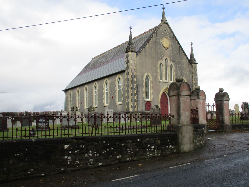
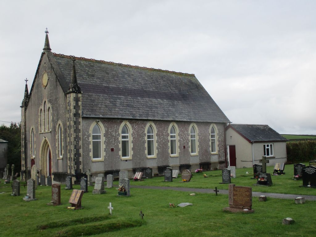
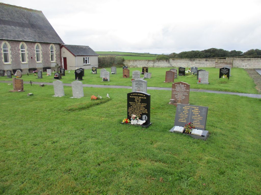
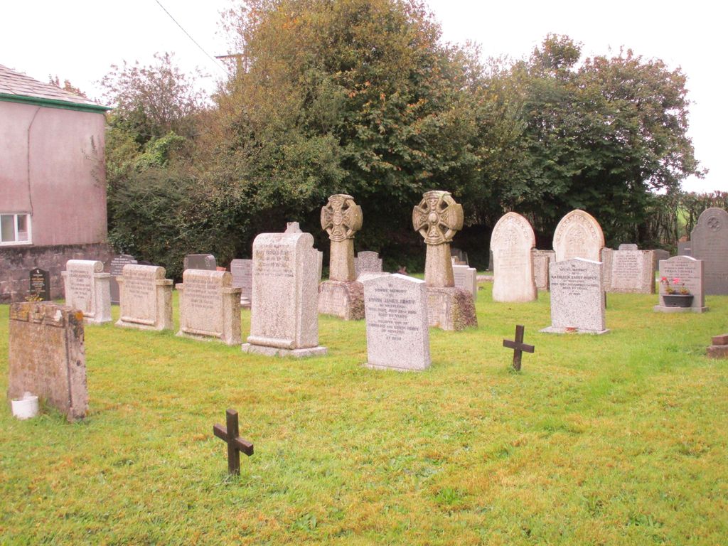
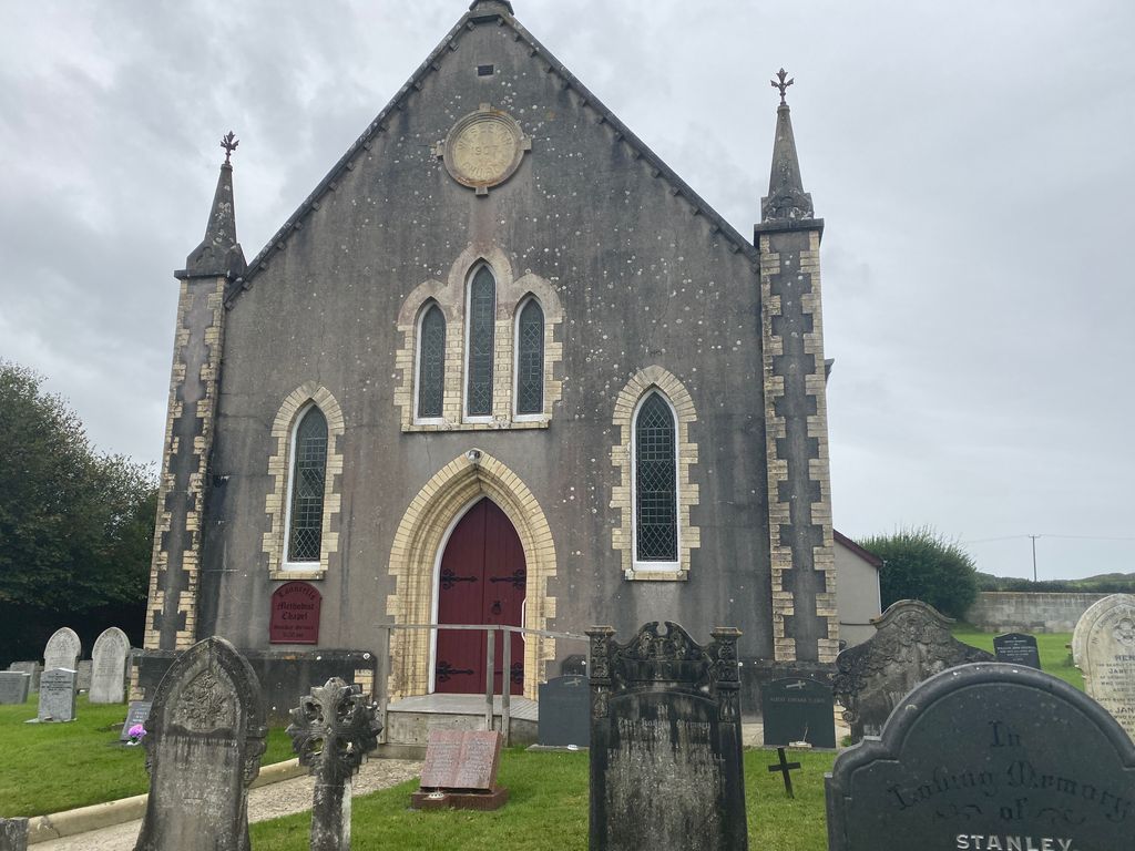
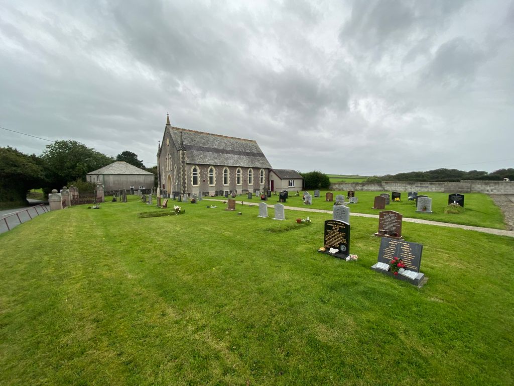
| Location | : | Launcells, Cornwall Unitary Authority, England |
| Coordinate | : | 50.8283007, -4.4656921 |
frequently asked questions (FAQ):
-
Where is Launcells Methodist Churchyard?
Launcells Methodist Churchyard is located at Launcells, Cornwall Unitary Authority ,Cornwall ,England.
-
Launcells Methodist Churchyard cemetery's updated grave count on graveviews.com?
0 memorials
-
Where are the coordinates of the Launcells Methodist Churchyard?
Latitude: 50.8283007
Longitude: -4.4656921
Nearby Cemetories:
1. St. Swithin Churchyard
Launcells, Cornwall Unitary Authority, England
Coordinate: 50.8242240, -4.4944380
2. St. Pancras Churchyard
Pancrasweek, Torridge District, England
Coordinate: 50.8268500, -4.4201500
3. St. James the Great Churchyard
Kilkhampton, Cornwall Unitary Authority, England
Coordinate: 50.8750630, -4.4851140
4. St. Michael & All Angels Churchyard
Bude, Cornwall Unitary Authority, England
Coordinate: 50.8275500, -4.5497500
5. Bude Extension Cemetery
Bude, Cornwall Unitary Authority, England
Coordinate: 50.8276510, -4.5499890
6. Ss Peter and Paul Churchyard
Holsworthy, Torridge District, England
Coordinate: 50.8107500, -4.3525400
7. Holsworthy Cemetery
Holsworthy, Torridge District, England
Coordinate: 50.8179000, -4.3473500
8. Free Church Cemetery
Sutcombe, Torridge District, England
Coordinate: 50.8793320, -4.3517180
9. Saint Andrew's Churchyard
Sutcombe, Torridge District, England
Coordinate: 50.8807900, -4.3512500
10. Holy Cross Churchyard
Tetcott, Torridge District, England
Coordinate: 50.7443138, -4.3655843
11. St. James' Churchyard
Jacobstow, Cornwall Unitary Authority, England
Coordinate: 50.7341700, -4.5547800
12. Woodacott Chapel
Thornbury, Torridge District, England
Coordinate: 50.8470860, -4.2930920
13. Eden Methodist Chapel Cemetery
Jacobstow, Cornwall Unitary Authority, England
Coordinate: 50.7200700, -4.5591500
14. St. James' Churchyard
Abbots Bickington, Torridge District, England
Coordinate: 50.8961300, -4.2983800
15. Bennacott Chapel
Boyton, Cornwall Unitary Authority, England
Coordinate: 50.7048188, -4.4127882
16. Boyton Methodist Chapel
Boyton, Cornwall Unitary Authority, England
Coordinate: 50.7023020, -4.3816220
17. Canworthy Water Methodist Church Cemetery
Carnworthy Water, Cornwall Unitary Authority, England
Coordinate: 50.6939800, -4.5149200
18. All Saints Churchyard
Bradford, Torridge District, England
Coordinate: 50.8428590, -4.2440560
19. St. Peter Churchyard
Ashwater, Torridge District, England
Coordinate: 50.7342290, -4.2873920
20. St. Peter & St. James Churchyard
Halwill, Torridge District, England
Coordinate: 50.7731000, -4.2317600
21. Stowford Meadow
Stowford, West Devon Borough, England
Coordinate: 50.7634468, -4.2368540
22. Hartland Methodist Cemetery
Hartland, Torridge District, England
Coordinate: 50.9915000, -4.4767210
23. St. Giles' Parish Churchyard
St Giles on the Heath, Torridge District, England
Coordinate: 50.6914989, -4.3245055
24. St Nectan Churchyard
Stoke, Torridge District, England
Coordinate: 50.9949510, -4.5165690