
| Memorials | : | 0 |
| Location | : | Pancrasweek, Torridge District, England |
| Coordinate | : | 50.8268500, -4.4201500 |
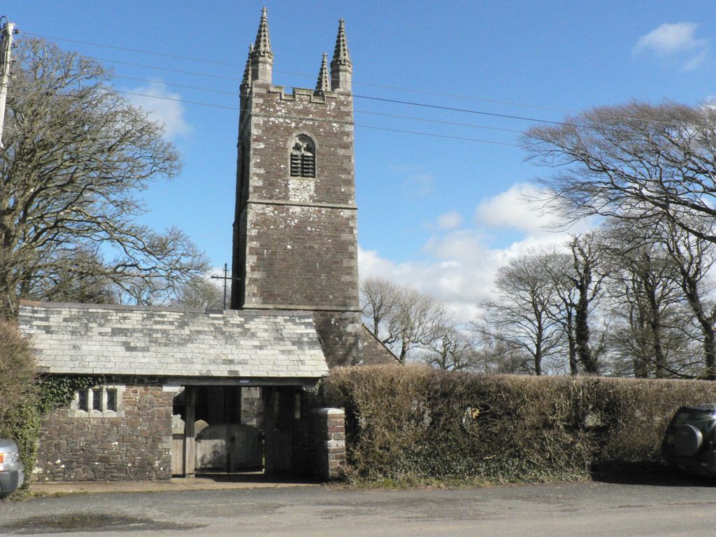
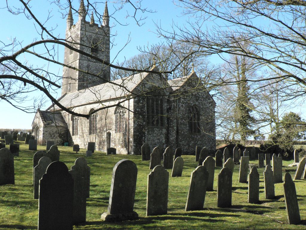
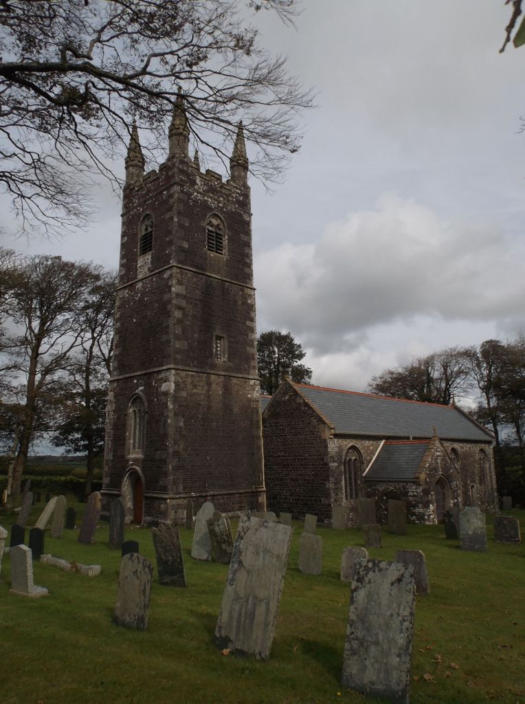
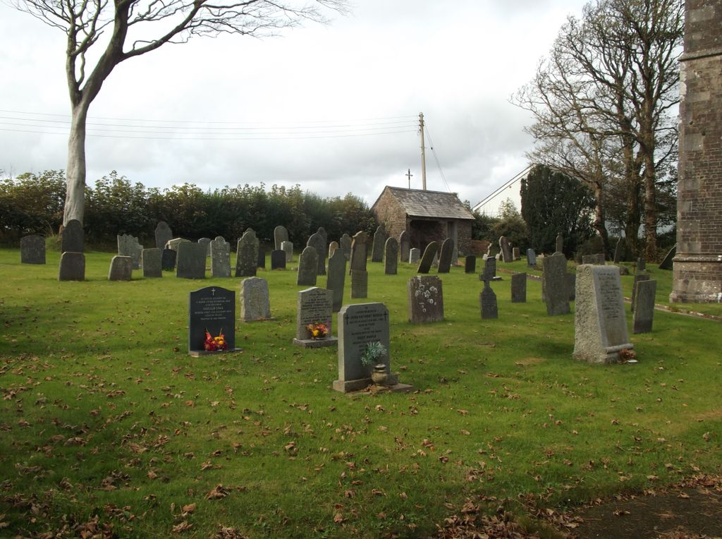
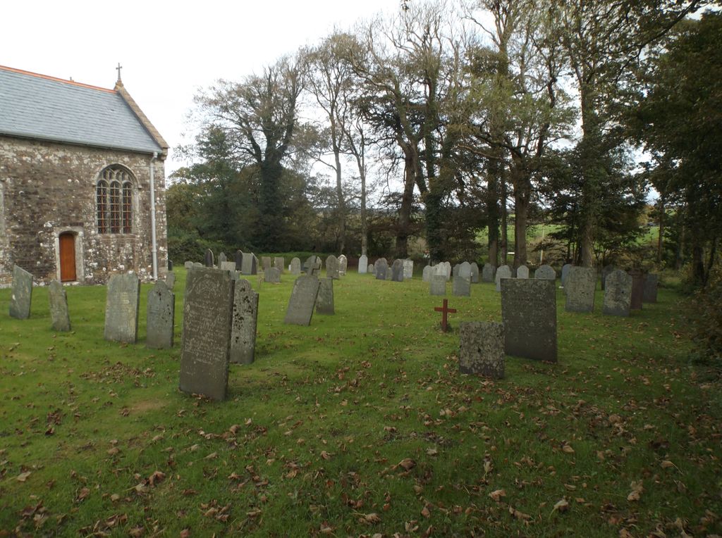
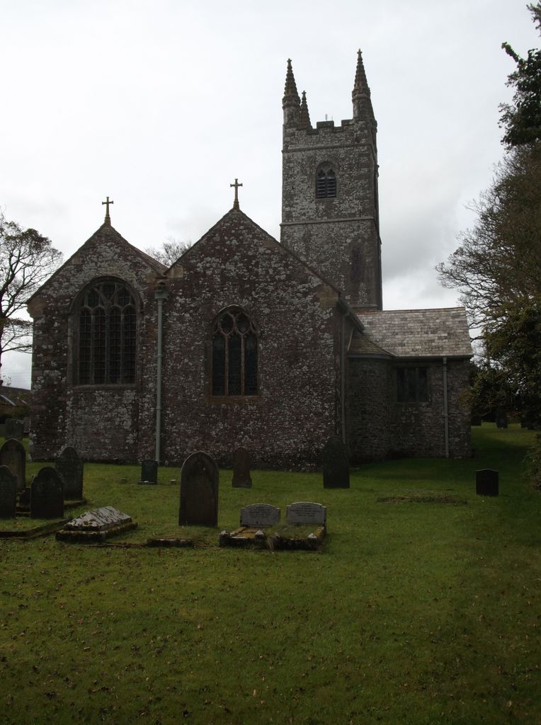
| Description | : | Pancrasweek is a civil parish in the far west of Devon, England forming part of the local government district of Torridge and lying about three miles north west of the town of Holsworthy. It is bordered clockwise from the north by the Devon parishes of Bradworthy, Holsworthy Hamlets, a small part of Pyworthy, and Bridgerule. Its western border mostly follows the River Tamar which forms the county boundary with Cornwall The parish church, dedicated to Saint Pancras, stands alone on a hill in the south of the parish. |
frequently asked questions (FAQ):
-
Where is St. Pancras Churchyard?
St. Pancras Churchyard is located at Pancrasweek, Torridge District ,Devon , EX22 7JSEngland.
-
St. Pancras Churchyard cemetery's updated grave count on graveviews.com?
0 memorials
-
Where are the coordinates of the St. Pancras Churchyard?
Latitude: 50.8268500
Longitude: -4.4201500
Nearby Cemetories:
1. Launcells Methodist Churchyard
Launcells, Cornwall Unitary Authority, England
Coordinate: 50.8283007, -4.4656921
2. Ss Peter and Paul Churchyard
Holsworthy, Torridge District, England
Coordinate: 50.8107500, -4.3525400
3. Holsworthy Cemetery
Holsworthy, Torridge District, England
Coordinate: 50.8179000, -4.3473500
4. St. Swithin Churchyard
Launcells, Cornwall Unitary Authority, England
Coordinate: 50.8242240, -4.4944380
5. St. James the Great Churchyard
Kilkhampton, Cornwall Unitary Authority, England
Coordinate: 50.8750630, -4.4851140
6. Free Church Cemetery
Sutcombe, Torridge District, England
Coordinate: 50.8793320, -4.3517180
7. Saint Andrew's Churchyard
Sutcombe, Torridge District, England
Coordinate: 50.8807900, -4.3512500
8. St. Michael & All Angels Churchyard
Bude, Cornwall Unitary Authority, England
Coordinate: 50.8275500, -4.5497500
9. Bude Extension Cemetery
Bude, Cornwall Unitary Authority, England
Coordinate: 50.8276510, -4.5499890
10. Woodacott Chapel
Thornbury, Torridge District, England
Coordinate: 50.8470860, -4.2930920
11. Holy Cross Churchyard
Tetcott, Torridge District, England
Coordinate: 50.7443138, -4.3655843
12. St. James' Churchyard
Abbots Bickington, Torridge District, England
Coordinate: 50.8961300, -4.2983800
13. All Saints Churchyard
Bradford, Torridge District, England
Coordinate: 50.8428590, -4.2440560
14. Bennacott Chapel
Boyton, Cornwall Unitary Authority, England
Coordinate: 50.7048188, -4.4127882
15. St. Peter Churchyard
Ashwater, Torridge District, England
Coordinate: 50.7342290, -4.2873920
16. St. James' Churchyard
Jacobstow, Cornwall Unitary Authority, England
Coordinate: 50.7341700, -4.5547800
17. Boyton Methodist Chapel
Boyton, Cornwall Unitary Authority, England
Coordinate: 50.7023020, -4.3816220
18. St. Peter & St. James Churchyard
Halwill, Torridge District, England
Coordinate: 50.7731000, -4.2317600
19. Stowford Meadow
Stowford, West Devon Borough, England
Coordinate: 50.7634468, -4.2368540
20. Eden Methodist Chapel Cemetery
Jacobstow, Cornwall Unitary Authority, England
Coordinate: 50.7200700, -4.5591500
21. Canworthy Water Methodist Church Cemetery
Carnworthy Water, Cornwall Unitary Authority, England
Coordinate: 50.6939800, -4.5149200
22. St. Giles' Parish Churchyard
St Giles on the Heath, Torridge District, England
Coordinate: 50.6914989, -4.3245055
23. St Mary's Churchyard
Black Torrington, Torridge District, England
Coordinate: 50.8304800, -4.1812600
24. Black Torrington Methodist Church
Black Torrington, Torridge District, England
Coordinate: 50.8272639, -4.1792975