
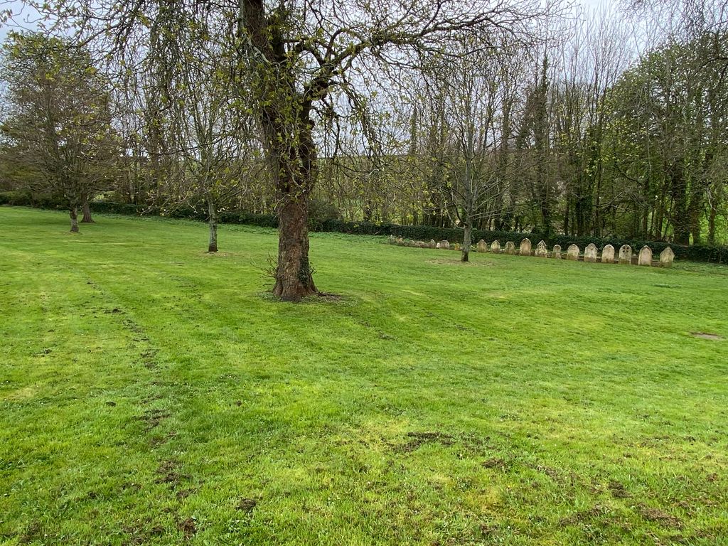
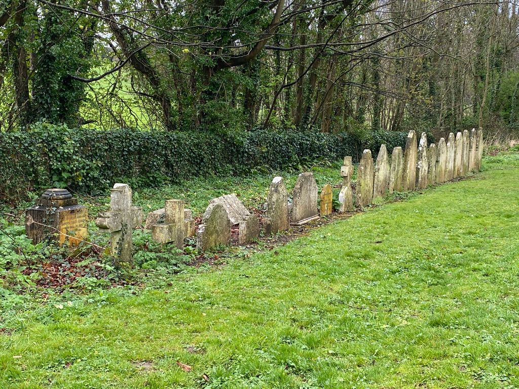
| Memorials | : | 0 |
| Location | : | Charlton Down, West Dorset District, England |
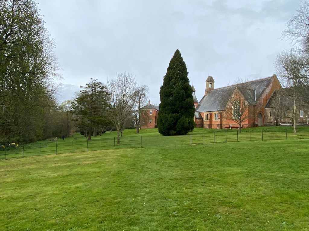
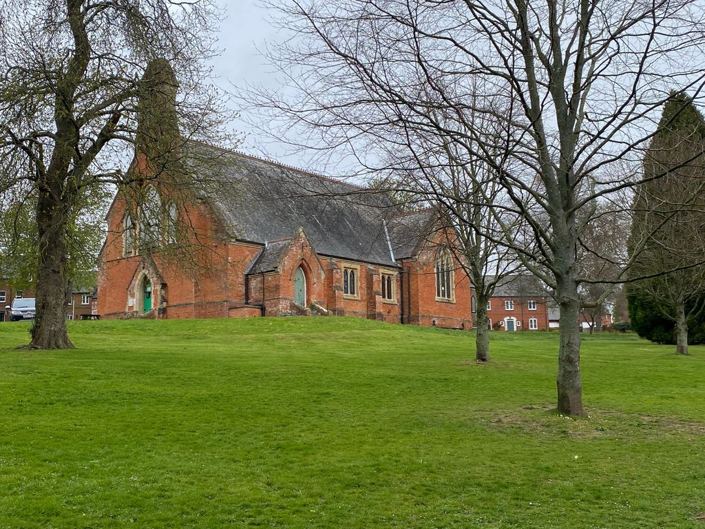
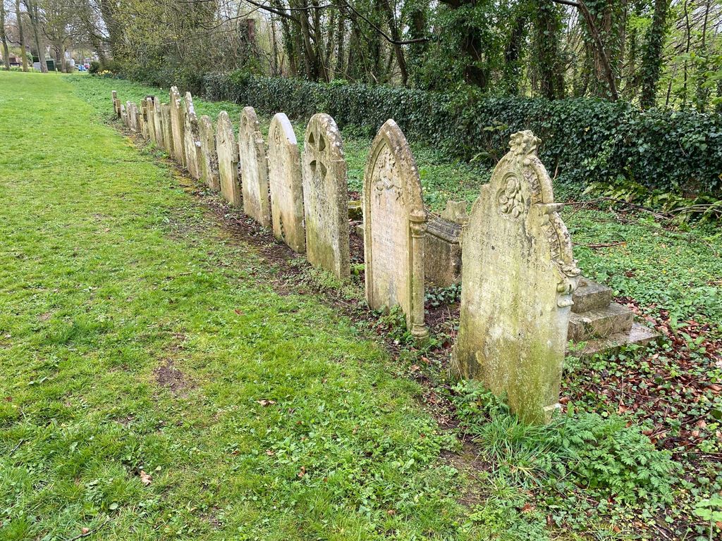
| Description | : | Dorset County Asylum opened at Forston House in August 1832. In 1863 Herrison Hospital was built to expand capacity. By 1913 there were 957 patients in total including a private section at Herrison House. During the first world war numbers rose to 1165 due to patients being transferred to make other asylums available to treat the wounded. Although reports on the facility were good in the early 1960s it was suffering from overcrowding and 'management issues' the late 1960s. From the 1970s the trend was towards enabling community-based care and the hospital closed in 1986, with the NHS finally... Read More |
frequently asked questions (FAQ):
-
Where is Herrison Hospital Chapel?
Herrison Hospital Chapel is located at No GPS information available Add GPSSherren Avenue, Charlton Down Charlton Down, West Dorset District ,Dorset , DT2 9UEEngland.
-
Herrison Hospital Chapel cemetery's updated grave count on graveviews.com?
0 memorials
Nearby Cemetories:
1. St Swithun Churchyard
Allington, West Dorset District, England
Coordinate: 50.7257540, -2.9317900
2. Holy Trinity
Bincombe, West Dorset District, England
Coordinate: 50.8515000, -2.6022600
3. St. Mary's Churchyard
Bradford Peverell, West Dorset District, England
Coordinate: 50.8466690, -2.7723670
4. St Andrew Churchyard
Burstock, West Dorset District, England
Coordinate: 50.6459250, -2.3909880
5. St Mary Churchyard
Chickerell, West Dorset District, England
Coordinate: 50.6703050, -2.5675000
6. All Saints Churchyard
Dewlish, West Dorset District, England
Coordinate: 50.6709000, -2.5638000
7. St Peter Churchyard
Eype, West Dorset District, England
Coordinate: 50.7484670, -2.3434700
8. The Church of St Francis
Frome Vauchurch, West Dorset District, England
Coordinate: 50.8502200, -2.8112800
9. Hilfield Chapel
Hilfield, West Dorset District, England
Coordinate: 50.8125230, -2.7376500
10. Hilfield Friary (Society of St. Francis)
Hilfield, West Dorset District, England
Coordinate: 50.7995080, -2.7418580
11. St. Michael and All Angels Churchyard
Littlebredy, West Dorset District, England
Coordinate: 50.8085130, -2.7409170
12. Lyme Regis Cemetery
Lyme Regis, West Dorset District, England
Coordinate: 50.7230130, -2.7449430
13. St Michael the Archangel Churchyard
Lyme Regis, West Dorset District, England
Coordinate: 50.7257540, -2.9317900
14. St Mary's Chapel
Melbury Sampford, West Dorset District, England
Coordinate: 50.8515000, -2.6022600
15. Saint Mary's Church
Mosterton, West Dorset District, England
Coordinate: 50.8466690, -2.7723670
16. St Osmund's Churchyard
Osmington, West Dorset District, England
Coordinate: 50.6459250, -2.3909880
17. Portesham Cemetery
Portesham, West Dorset District, England
Coordinate: 50.6703050, -2.5675000
18. St Peters Churchyard
Portesham, West Dorset District, England
Coordinate: 50.6709000, -2.5638000
19. St. Mary the Virgin Churchyard
Puddletown, West Dorset District, England
Coordinate: 50.7484670, -2.3434700
20. Saint John Churchyard
Seaborough, West Dorset District, England
Coordinate: 50.8502200, -2.8112800
21. Holy Trinity Churchyard
Beaminster, West Dorset District, England
Coordinate: 50.8125230, -2.7376500
22. Parnham House
Beaminster, West Dorset District, England
Coordinate: 50.7995080, -2.7418580
23. St Mary of the Annunciation Churchyard
Beaminster, West Dorset District, England
Coordinate: 50.8085130, -2.7409170
24. Old Church Cemetery
Bothenhampton, West Dorset District, England
Coordinate: 50.7230130, -2.7449430