
| Memorials | : | 0 |
| Location | : | Bradford Peverell, West Dorset District, England |
| Coordinate | : | 50.7356600, -2.4857900 |
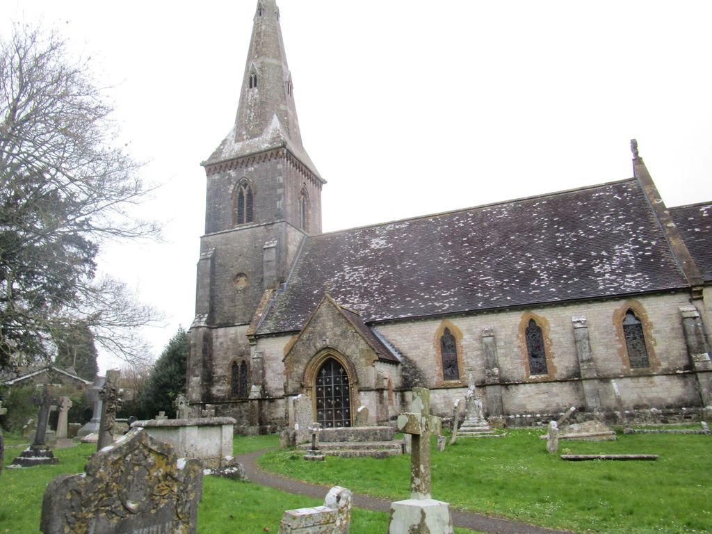
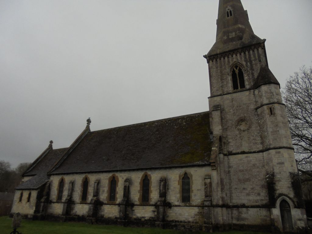
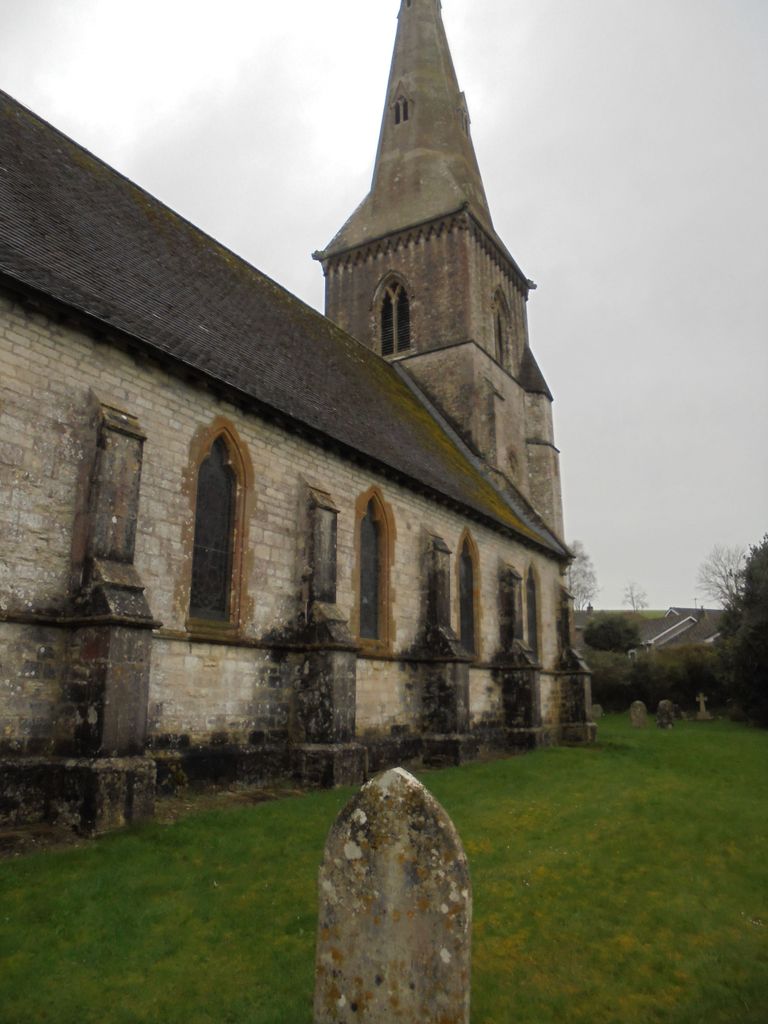
| Description | : | Bradford Peverell is a parish and a small village situated in the valley of the River Frome just 3 miles north west from Dorchester. The church of St Mary is situated in the middle of the village and the elegant spire serves as a clear landmark. It was largely rebuilt in 1850 |
frequently asked questions (FAQ):
-
Where is St. Mary's Churchyard?
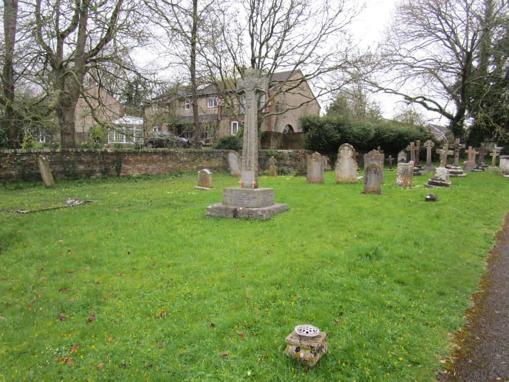
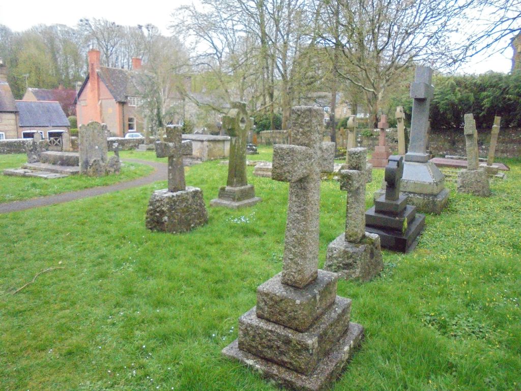
St. Mary's Churchyard is located at Church Lane Bradford Peverell, West Dorset District ,Dorset , DT2 9SBEngland.
-
St. Mary's Churchyard cemetery's updated grave count on graveviews.com?
0 memorials
-
Where are the coordinates of the St. Mary's Churchyard?
Latitude: 50.7356600
Longitude: -2.4857900
Nearby Cemetories:
1. Charminster Cemetery
Charminster, Bournemouth Unitary Authority, England
Coordinate: 50.7341430, -2.4627060
2. St Mary the Virgin Churchyard
Charminster, West Dorset District, England
Coordinate: 50.7330600, -2.4557900
3. Poundbury Cemetery
Dorchester, West Dorset District, England
Coordinate: 50.7181090, -2.4544830
4. St. Mary's Churchyard
Frampton, West Dorset District, England
Coordinate: 50.7531080, -2.5301730
5. Holy Trinity Church
Dorchester, West Dorset District, England
Coordinate: 50.7154890, -2.4379470
6. Greyfriars Churchyard
Dorchester, West Dorset District, England
Coordinate: 50.7172150, -2.4354070
7. St. Peter's Church
Dorchester, West Dorset District, England
Coordinate: 50.7155740, -2.4369030
8. All Saints Churchyard
Dorchester, West Dorset District, England
Coordinate: 50.7153670, -2.4355750
9. Dorchester Gaol Cemetery
Dorchester, West Dorset District, England
Coordinate: 50.7153670, -2.4355750
10. Holy Trinity Churchyard
Godmanstone, West Dorset District, England
Coordinate: 50.7748310, -2.4750600
11. Maumbury Rings Cemetery
Dorchester, West Dorset District, England
Coordinate: 50.7079000, -2.4403900
12. Dorchester Cemetery
Dorchester, West Dorset District, England
Coordinate: 50.7062110, -2.4422800
13. Dorchester Gallows Hill Cemetery
Dorchester, West Dorset District, England
Coordinate: 50.7127930, -2.4315480
14. St George's Churchyard
Fordington, West Dorset District, England
Coordinate: 50.7136510, -2.4286550
15. Fordington Cemetery
Dorchester, West Dorset District, England
Coordinate: 50.7131110, -2.4263720
16. All Saints
Nether Cerne, West Dorset District, England
Coordinate: 50.7824394, -2.4695370
17. St Thomas a Beckett Churchyard
Compton Valence, West Dorset District, England
Coordinate: 50.7372430, -2.5784400
18. St Mary the Virgin Churchyard
Piddlehinton, West Dorset District, England
Coordinate: 50.7732980, -2.4045680
19. The Church of St Francis
Frome Vauchurch, West Dorset District, England
Coordinate: 50.7730030, -2.5691890
20. West Stafford New Burial Ground
Dorchester, West Dorset District, England
Coordinate: 50.7050192, -2.3872764
21. St Laurence Churchyard
Upwey, Weymouth and Portland Borough, England
Coordinate: 50.6658560, -2.4813840
22. St. Mary's Churchyard
Maiden Newton, West Dorset District, England
Coordinate: 50.7791380, -2.5739770
23. St. Michael and All Angels Churchyard
Littlebredy, West Dorset District, England
Coordinate: 50.6993760, -2.5850920
24. St Mary Churchyard
Cerne Abbas, West Dorset District, England
Coordinate: 50.8095040, -2.4756200