
| Memorials | : | 0 |
| Location | : | Eype, West Dorset District, England |
| Coordinate | : | 50.7233600, -2.7794800 |
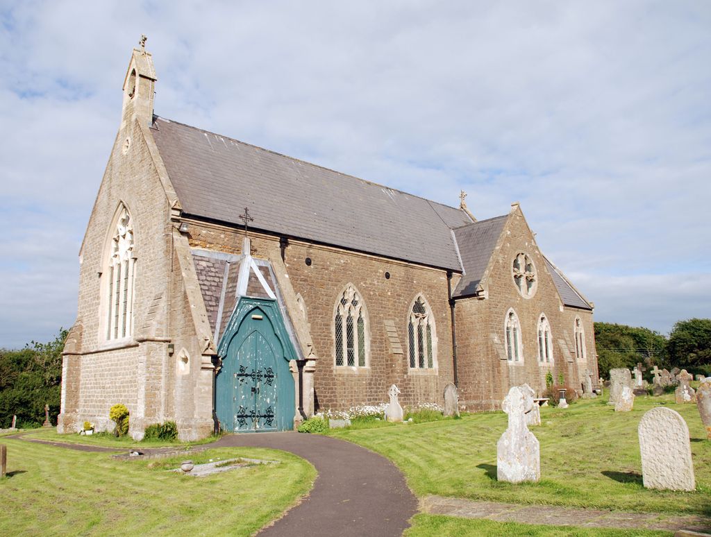
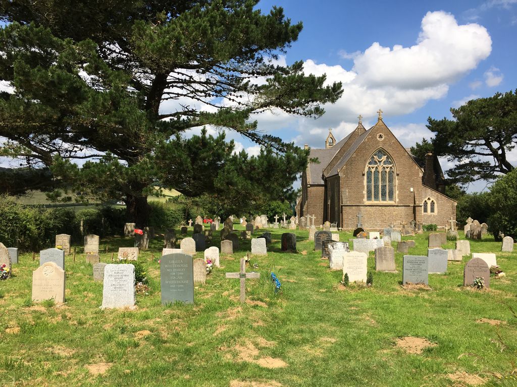
| Description | : | Eype is a hamlet lying one mile south-west of Bridport, two miles west of Bridport railway station. Eype Church is a Chapel of Ease to the parish church of St. John the Baptist at Symondsbury. In the churchyard are the graves of a sailor and a soldier belonging to the forces of the United Kingdom. St. Peter's, Eype, the daughter-church to St. John the Baptist was consecrated 25th August 1865 and is classified as a chapel. [From A35 take turning to Eype then Eype Mouth.] |
frequently asked questions (FAQ):
-
Where is St Peter Churchyard?
St Peter Churchyard is located at St Peter Mount Lane Eype, West Dorset District ,Dorset , DT6 6APEngland.
-
St Peter Churchyard cemetery's updated grave count on graveviews.com?
0 memorials
-
Where are the coordinates of the St Peter Churchyard?
Latitude: 50.7233600
Longitude: -2.7794800
Nearby Cemetories:
1. Quaker Burial Ground
Bridport, West Dorset District, England
Coordinate: 50.7285000, -2.7577000
2. St Swithun Churchyard
Allington, West Dorset District, England
Coordinate: 50.7349230, -2.7642530
3. St. Mary's Churchyard
Bridport, West Dorset District, England
Coordinate: 50.7305630, -2.7580380
4. Old Church Cemetery
Bothenhampton, West Dorset District, England
Coordinate: 50.7230130, -2.7449430
5. Bridport Cemetery
Bridport, West Dorset District, England
Coordinate: 50.7335280, -2.7423070
6. St. Giles Churchyard
Chideock, West Dorset District, England
Coordinate: 50.7325000, -2.8211000
7. St Saviour's Churchyard
Dottery, West Dorset District, England
Coordinate: 50.7536000, -2.7694000
8. Chideock Manor
Chideock, West Dorset District, England
Coordinate: 50.7377620, -2.8229350
9. Holy Trinity Churchyard
Bradpole, West Dorset District, England
Coordinate: 50.7458520, -2.7378410
10. St Mary Churchyard
Burton Bradstock, West Dorset District, England
Coordinate: 50.7028730, -2.7254190
11. St Mary Magdalene Churchyard
Loders, West Dorset District, England
Coordinate: 50.7458420, -2.7226110
12. Stanton St. Gabriel Churchyard
Morcombelake, West Dorset District, England
Coordinate: 50.7407480, -2.8443460
13. Christ's Churchyard
Melplash, West Dorset District, England
Coordinate: 50.7751300, -2.7324000
14. St Michaels Cemetery
Melplash, West Dorset District, England
Coordinate: 50.7832180, -2.7306110
15. St Mary Churchyard
Netherbury, West Dorset District, England
Coordinate: 50.7922890, -2.7529110
16. St. Mary the Virgin Churchyard
Powerstock, West Dorset District, England
Coordinate: 50.7632920, -2.6863210
17. St. Michael and All Angels Churchyard
Askerswell, West Dorset District, England
Coordinate: 50.7309450, -2.6675050
18. St Mary's Churchyard
Catherston Leweston, West Dorset District, England
Coordinate: 50.7456790, -2.8948410
19. St Mary Churchyard
Pilsdon, West Dorset District, England
Coordinate: 50.7925420, -2.8317720
20. United Reformed Church Cemetery
Charmouth, West Dorset District, England
Coordinate: 50.7391100, -2.8995100
21. St Andrew Churchyard
Charmouth, West Dorset District, England
Coordinate: 50.7384330, -2.9022810
22. Parnham House
Beaminster, West Dorset District, England
Coordinate: 50.7995080, -2.7418580
23. St Mary the Blessed Virgin Churchyard
Pucknowle, West Dorset District, England
Coordinate: 50.6956030, -2.6597330
24. All Saints Churchyard
Mapperton, West Dorset District, England
Coordinate: 50.7943046, -2.7060315