| Memorials | : | 0 |
| Location | : | Beaminster, West Dorset District, England |
| Coordinate | : | 50.8125230, -2.7376500 |
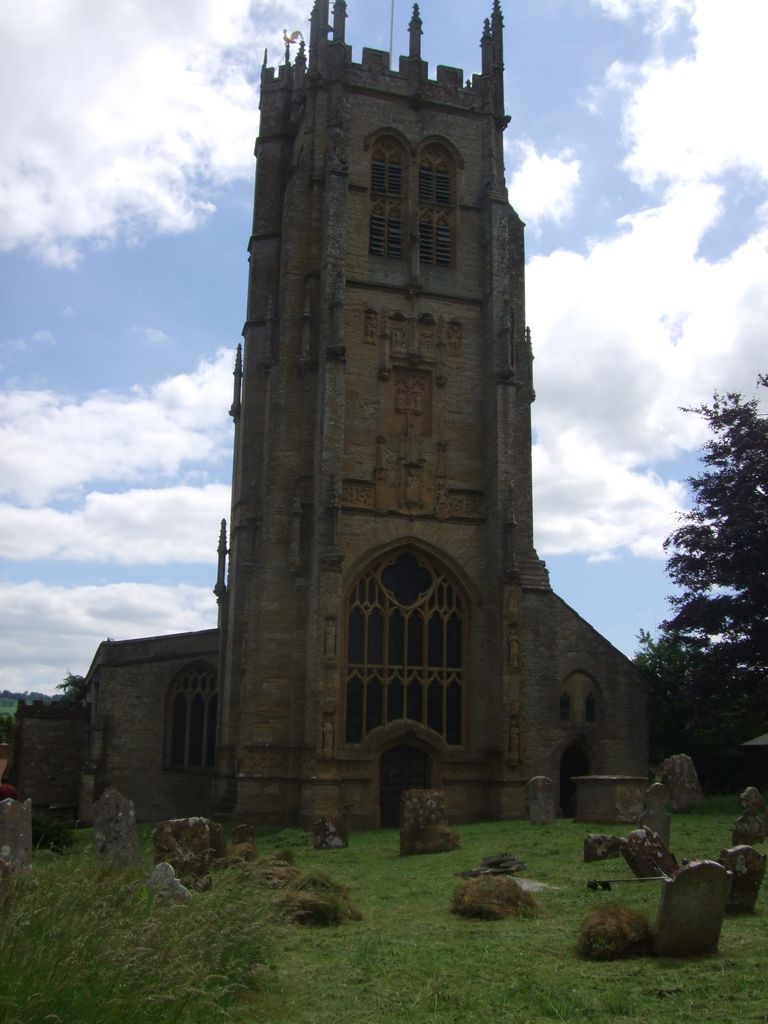
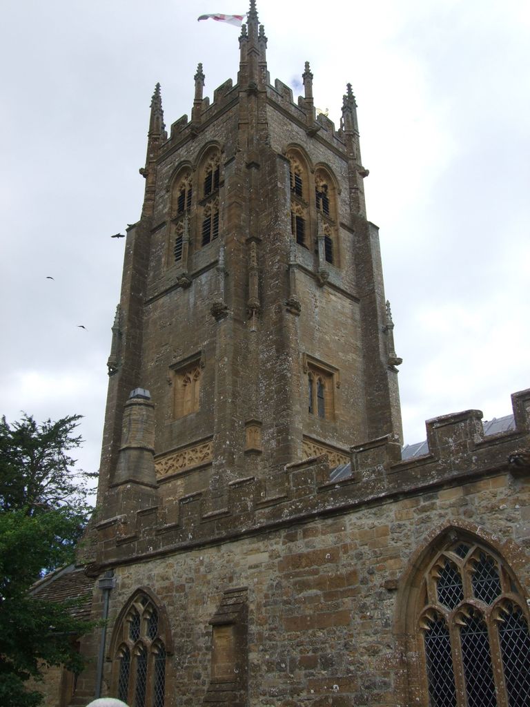
| Description | : | By the mid-19th century, the population of Beaminster had grown too large to be accomodated by St Mary's Church, and Holy Trinity Church was built. The first burial in Holy Trinity Churchyard took place in 1851. However, no sooner was the church built than the population declined again as country people migrated to the cities, so Holy Trinity Church was not used much and was eventually deconsecrated and converted into a private house. |
frequently asked questions (FAQ):
-
Where is Holy Trinity Churchyard?
Holy Trinity Churchyard is located at Whatley Lane, Shortmoor Beaminster, West Dorset District ,Dorset ,England.
-
Holy Trinity Churchyard cemetery's updated grave count on graveviews.com?
0 memorials
-
Where are the coordinates of the Holy Trinity Churchyard?
Latitude: 50.8125230
Longitude: -2.7376500
Nearby Cemetories:
1. St Mary of the Annunciation Churchyard
Beaminster, West Dorset District, England
Coordinate: 50.8085130, -2.7409170
2. Parnham House
Beaminster, West Dorset District, England
Coordinate: 50.7995080, -2.7418580
3. St Mary Churchyard
Netherbury, West Dorset District, England
Coordinate: 50.7922890, -2.7529110
4. All Saints Churchyard
Mapperton, West Dorset District, England
Coordinate: 50.7943046, -2.7060315
5. St Michaels Cemetery
Melplash, West Dorset District, England
Coordinate: 50.7832180, -2.7306110
6. St James Cemetery
Chedington, West Dorset District, England
Coordinate: 50.8473070, -2.7275580
7. Christ's Churchyard
Melplash, West Dorset District, England
Coordinate: 50.7751300, -2.7324000
8. St John the Baptist Churchyard
Broadwindsor, West Dorset District, England
Coordinate: 50.8205790, -2.7996230
9. Saint Mary's Church
Mosterton, West Dorset District, England
Coordinate: 50.8466690, -2.7723670
10. St. Mary's Churchyard
Corscombe, West Dorset District, England
Coordinate: 50.8413300, -2.6797630
11. St. Giles' Churchyard
Hooke, West Dorset District, England
Coordinate: 50.7991490, -2.6606080
12. St Andrew Churchyard
Burstock, West Dorset District, England
Coordinate: 50.8228330, -2.8216970
13. St. Mary the Virgin Churchyard
Powerstock, West Dorset District, England
Coordinate: 50.7632920, -2.6863210
14. Misterton Cemetery
Misterton, South Somerset District, England
Coordinate: 50.8684960, -2.7687390
15. Saint John Churchyard
Seaborough, West Dorset District, England
Coordinate: 50.8502200, -2.8112800
16. St Saviour's Churchyard
Dottery, West Dorset District, England
Coordinate: 50.7536000, -2.7694000
17. St Mary Churchyard
Pilsdon, West Dorset District, England
Coordinate: 50.7925420, -2.8317720
18. Saint Leonards Churchyard
Misterton, South Somerset District, England
Coordinate: 50.8698905, -2.7795252
19. Holy Trinity Churchyard
Bradpole, West Dorset District, England
Coordinate: 50.7458520, -2.7378410
20. St Mary Magdalene Churchyard
Loders, West Dorset District, England
Coordinate: 50.7458420, -2.7226110
21. St Martin's Churchyard
North Perrott, South Somerset District, England
Coordinate: 50.8828270, -2.7518080
22. St Michael and All Angels Churchyard
Rampisham, West Dorset District, England
Coordinate: 50.8177970, -2.6236380
23. St Stephen Churchyard
Bettiscombe, West Dorset District, England
Coordinate: 50.7962210, -2.8540230
24. Holy Trinity Churchyard
Blackdown, West Dorset District, England
Coordinate: 50.8240600, -2.8582500


