
| Memorials | : | 9 |
| Location | : | Mount Eaton, Wayne County, USA |
| Coordinate | : | 40.6968994, -81.7367020 |
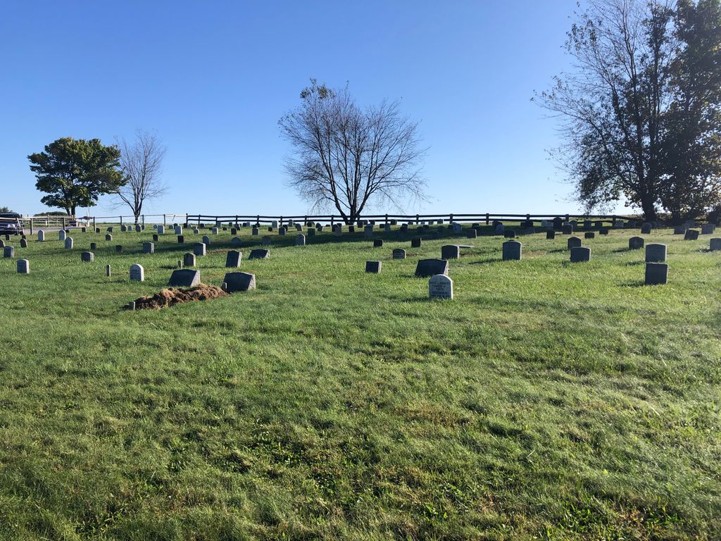
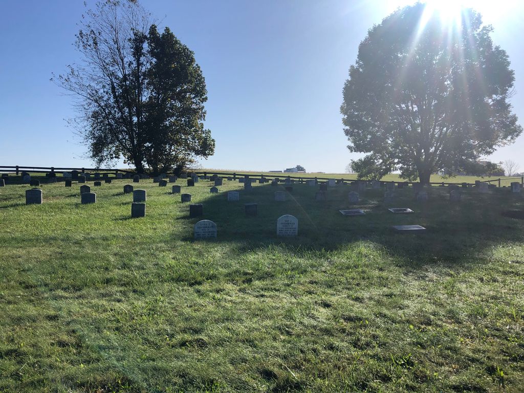
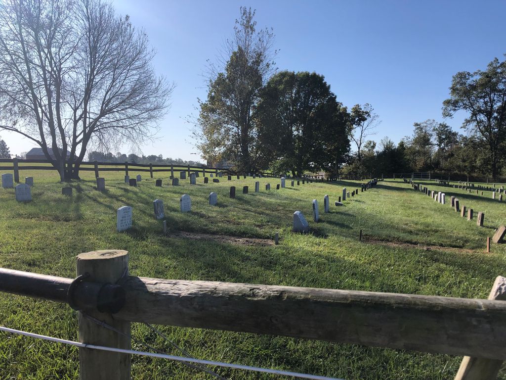
| Description | : | This Amish cemetery is located on the west side of Zuercher Road (County Road 98) about 0.1 miles north of its intersection with Harrison Road (County Road 2). The cemetery is located in Paint Township, Wayne County, Ohio, and is # 12710 (Jacob E. Yoder Farm Cemetery / Hershberger Cemetery) in “Ohio Cemeteries 1803-2003”, compiled by the Ohio Genealogical Society. The U.S. Geological Survey (USGS) Geographic Names Information System (GNIS) feature ID for the cemetery is 1041505 (Hershberger Cemetery). The cemetery is identified as D-1 (Jacob E. Yoder Farm) in “Cemetery Directory of the Amish Community in Eastern... Read More |
frequently asked questions (FAQ):
-
Where is Hershberger Cemetery?
Hershberger Cemetery is located at Zuercher Road (County Road 98) Mount Eaton, Wayne County ,Ohio , 44606USA.
-
Hershberger Cemetery cemetery's updated grave count on graveviews.com?
8 memorials
-
Where are the coordinates of the Hershberger Cemetery?
Latitude: 40.6968994
Longitude: -81.7367020
Nearby Cemetories:
1. Andy C Slabaugh Cemetery
Mount Eaton, Wayne County, USA
Coordinate: 40.6937030, -81.7576880
2. Hershberger Cemetery
Mount Eaton, Wayne County, USA
Coordinate: 40.6758003, -81.7461014
3. Yoder Cemetery
Mount Eaton, Wayne County, USA
Coordinate: 40.6753006, -81.7268982
4. Joe Zook Cemetery
Mount Eaton, Wayne County, USA
Coordinate: 40.7190580, -81.7214860
5. Westlawn Cemetery
Mount Eaton, Wayne County, USA
Coordinate: 40.6973000, -81.7026978
6. Mount Eaton Lutheran Cemetery
Mount Eaton, Wayne County, USA
Coordinate: 40.6926003, -81.7005005
7. Mount Eaton French and German Reformed Cemetery
Mount Eaton, Wayne County, USA
Coordinate: 40.6924440, -81.7001670
8. Noah Petersheim Farm Cemetery
Fredericksburg, Wayne County, USA
Coordinate: 40.6786693, -81.7673547
9. Sonlight Chapel Cemetery
Apple Creek, Wayne County, USA
Coordinate: 40.6932590, -81.7854820
10. Mahlon Gingerich Farm Cemetery
Apple Creek, Wayne County, USA
Coordinate: 40.7117830, -81.7876000
11. Ben J P Weaver Farm Cemetery
Mount Hope, Holmes County, USA
Coordinate: 40.6616180, -81.7652340
12. Yoder Cemetery
Mount Hope, Holmes County, USA
Coordinate: 40.6535988, -81.7296982
13. Saint Genevieve Catholic Cemetery
Calmoutier, Holmes County, USA
Coordinate: 40.6659910, -81.7791100
14. Joe Yoder Cemetery
Kidron, Wayne County, USA
Coordinate: 40.7326860, -81.7749100
15. Parker Cemetery
Holmes County, USA
Coordinate: 40.6444016, -81.7455978
16. Kidron Mennonite Church Cemetery
Kidron, Wayne County, USA
Coordinate: 40.7507019, -81.7462997
17. Miller Cemetery
Salt Creek Township, Wayne County, USA
Coordinate: 40.6750580, -81.8040240
18. Emanuel Troyer Farm Cemetery
Fredericksburg, Wayne County, USA
Coordinate: 40.6750984, -81.8041000
19. Red Run Cemetery
Apple Creek, Wayne County, USA
Coordinate: 40.7290001, -81.7966003
20. John Schlabach Farm Cemetery
Mount Hope, Holmes County, USA
Coordinate: 40.6412964, -81.7459183
21. West Lebanon Union Cemetery
West Lebanon, Wayne County, USA
Coordinate: 40.7262170, -81.6736130
22. Raymond Hershberger Farm Cemetery
Mount Hope, Holmes County, USA
Coordinate: 40.6460900, -81.7685910
23. Rock of Ages Church of God in Christ Cemetery
Apple Creek, Wayne County, USA
Coordinate: 40.7450710, -81.7764900
24. Menno Miller Farm Cemetery
Mount Eaton, Wayne County, USA
Coordinate: 40.6844480, -81.6627220