
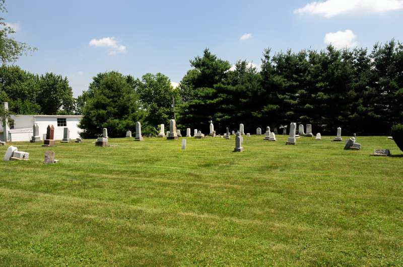
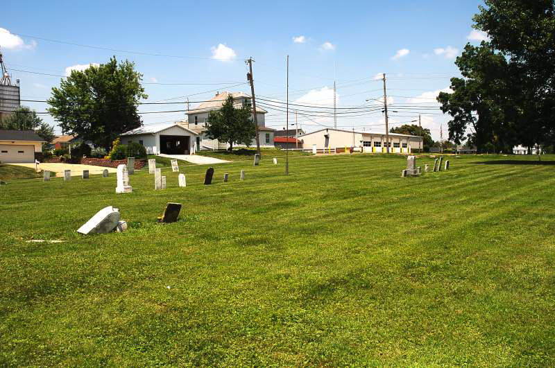
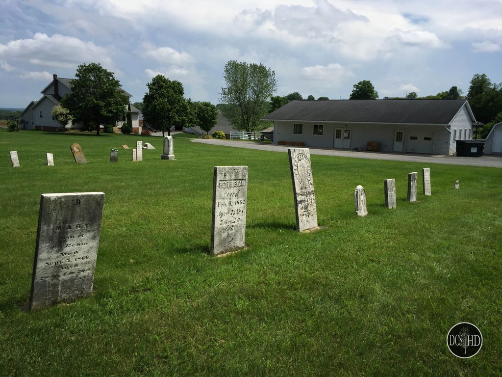
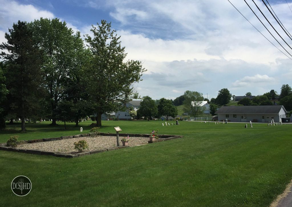
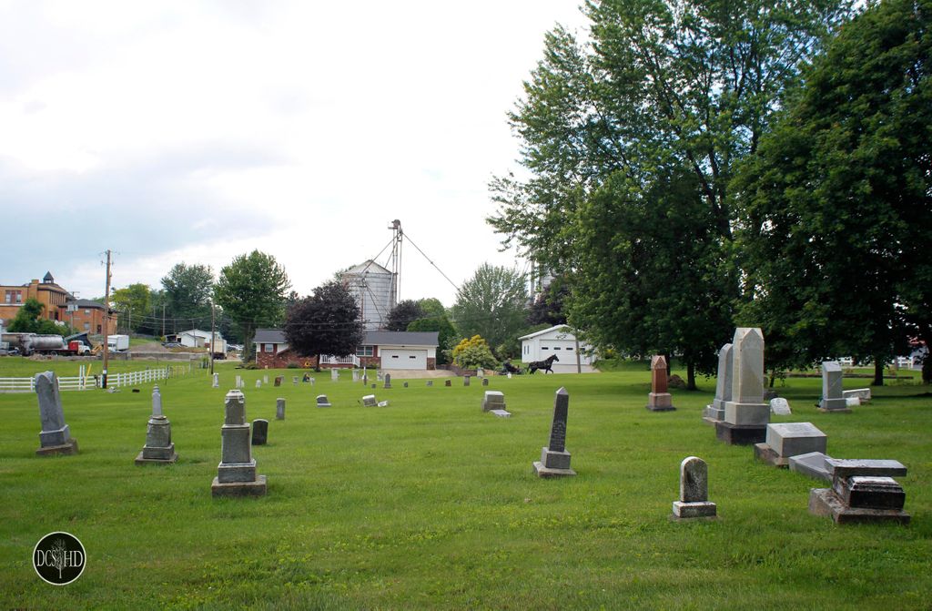
| Memorials | : | 3 |
| Location | : | Mount Eaton, Wayne County, USA |
| Coordinate | : | 40.6926003, -81.7005005 |
| Description | : | Located on the east side of Senff Road, south of Berry Street in Paint Township. |
frequently asked questions (FAQ):
-
Where is Mount Eaton Lutheran Cemetery?
Mount Eaton Lutheran Cemetery is located at Senff Road Mount Eaton, Wayne County ,Ohio , 44659USA.
-
Mount Eaton Lutheran Cemetery cemetery's updated grave count on graveviews.com?
3 memorials
-
Where are the coordinates of the Mount Eaton Lutheran Cemetery?
Latitude: 40.6926003
Longitude: -81.7005005
Nearby Cemetories:
1. Mount Eaton French and German Reformed Cemetery
Mount Eaton, Wayne County, USA
Coordinate: 40.6924440, -81.7001670
2. Westlawn Cemetery
Mount Eaton, Wayne County, USA
Coordinate: 40.6973000, -81.7026978
3. Yoder Cemetery
Mount Eaton, Wayne County, USA
Coordinate: 40.6753006, -81.7268982
4. Hershberger Cemetery
Mount Eaton, Wayne County, USA
Coordinate: 40.6968994, -81.7367020
5. Menno Miller Farm Cemetery
Mount Eaton, Wayne County, USA
Coordinate: 40.6844480, -81.6627220
6. Joe Zook Cemetery
Mount Eaton, Wayne County, USA
Coordinate: 40.7190580, -81.7214860
7. Hershberger Cemetery
Mount Eaton, Wayne County, USA
Coordinate: 40.6758003, -81.7461014
8. Simon Farm Cemetery
Mount Eaton, Wayne County, USA
Coordinate: 40.7068890, -81.6532220
9. West Lebanon Union Cemetery
West Lebanon, Wayne County, USA
Coordinate: 40.7262170, -81.6736130
10. Stephen Keim Farm Cemetery
Winesburg, Holmes County, USA
Coordinate: 40.6558610, -81.6818560
11. Keim Cemetery
Holmes County, USA
Coordinate: 40.6557999, -81.6819000
12. West Lebanon Lutheran Cemetery
West Lebanon, Wayne County, USA
Coordinate: 40.7258987, -81.6653976
13. Andy C Slabaugh Cemetery
Mount Eaton, Wayne County, USA
Coordinate: 40.6937030, -81.7576880
14. Sugar Creek Township Cemetery
West Lebanon, Wayne County, USA
Coordinate: 40.7294998, -81.6688004
15. Yoder Cemetery
Mount Hope, Holmes County, USA
Coordinate: 40.6535988, -81.7296982
16. Ananias Hershberger Farm Cemetery
West Lebanon, Wayne County, USA
Coordinate: 40.7350190, -81.6700240
17. Beidler Cemetery
Paint Township, Holmes County, USA
Coordinate: 40.6472015, -81.6699982
18. Pleasant Grove Cemetery
Minerva, Stark County, USA
Coordinate: 40.7018190, -81.6339770
19. Noah Petersheim Farm Cemetery
Fredericksburg, Wayne County, USA
Coordinate: 40.6786693, -81.7673547
20. Foxfield Preserve Cemetery
Wilmot, Stark County, USA
Coordinate: 40.6819150, -81.6312930
21. Longenecker Mennonite Cemetery
Winesburg, Holmes County, USA
Coordinate: 40.6383930, -81.6948510
22. Light of Truth Mennonite Church Cemetery
Wilmot, Stark County, USA
Coordinate: 40.6545660, -81.6445410
23. Greenlawn Cemetery
Wilmot, Stark County, USA
Coordinate: 40.6583930, -81.6392925
24. Ben J P Weaver Farm Cemetery
Mount Hope, Holmes County, USA
Coordinate: 40.6616180, -81.7652340