
| Memorials | : | 0 |
| Location | : | Upper Strasburg, Franklin County, USA |
| Coordinate | : | 39.9731830, -77.8636000 |
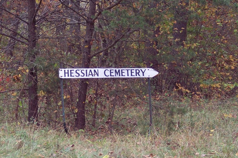
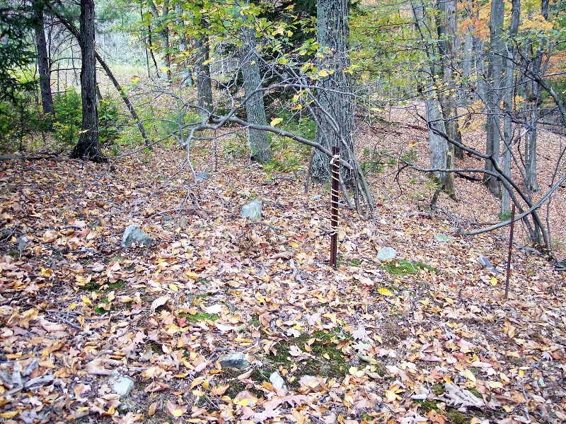
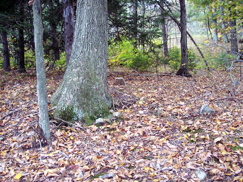
| Description | : | The Hessian burial ground was on the north edge of the Adam Peltz (Beltz) land near the southern boundary of early David Crone land. All of the persons buried here were not Hessian. Members of intermarried families such as the Gilberts were also buried here. Members of the Beltz, Crone, Detry, and possibly Beam were buried here. Peter Beltz was brought from the lower valley to be buried in the home burial ground. Some claim that Peter Beltz, son of Adam, was the last person to be buried in the Hessian plot. Quoted from: Foreman, Harry E. (1971). Conodoguinet Secrets – A... Read More |
frequently asked questions (FAQ):
-
Where is Hessian Cemetery?
Hessian Cemetery is located at Upper Strasburg, Franklin County ,Pennsylvania ,USA.
-
Hessian Cemetery cemetery's updated grave count on graveviews.com?
0 memorials
-
Where are the coordinates of the Hessian Cemetery?
Latitude: 39.9731830
Longitude: -77.8636000
Nearby Cemetories:
1. Zion United Brethren Cemetery
Saint Thomas, Franklin County, USA
Coordinate: 39.9909893, -77.8516591
2. Zion United Brethren Cemetery
Upper Strasburg, Franklin County, USA
Coordinate: 39.9909670, -77.8514330
3. Mealman Cemetery
Upper Strasburg, Franklin County, USA
Coordinate: 39.9531000, -77.8824330
4. Pheil Family
Richmond Furnace, Franklin County, USA
Coordinate: 39.9762558, -77.9024141
5. Cox Family Cemetery
Richmond Furnace, Franklin County, USA
Coordinate: 39.9697033, -77.9059752
6. Malone Graveyard
Richmond Furnace, Franklin County, USA
Coordinate: 39.9650506, -77.9132391
7. Carrick United Methodist Church Cemetery
Metal, Franklin County, USA
Coordinate: 40.0151850, -77.8783810
8. Edenville Methodist Church Cemetery
Edenville, Franklin County, USA
Coordinate: 39.9577000, -77.8031000
9. Forrester Family Cemetery
Freestone, Franklin County, USA
Coordinate: 40.0172290, -77.8317830
10. Wright Farm Family Cemetery
Metal, Franklin County, USA
Coordinate: 40.0213364, -77.8832249
11. Metal Methodist Cemetery
Metal, Franklin County, USA
Coordinate: 40.0240000, -77.8725000
12. Mount Olivet Cemetery
Chambersburg, Franklin County, USA
Coordinate: 39.9771000, -77.7921000
13. Old Reformed and Lutheran Church Cemetery
Fort Loudon, Franklin County, USA
Coordinate: 39.9167000, -77.9047000
14. Stenger Hill Cemetery
Fort Loudon, Franklin County, USA
Coordinate: 39.9085655, -77.8929367
15. Martz Cemetery
Fort Loudon, Franklin County, USA
Coordinate: 39.9029700, -77.8626400
16. Saint Thomas Methodist Episcopal Cemetery
Saint Thomas, Franklin County, USA
Coordinate: 39.9164000, -77.7979000
17. Saint Thomas Lutheran Cemetery
Saint Thomas, Franklin County, USA
Coordinate: 39.9192807, -77.7928746
18. Trinity United Church of Christ Cemetery
Saint Thomas, Franklin County, USA
Coordinate: 39.9186745, -77.7935028
19. Saint Thomas Cemetery
Saint Thomas, Franklin County, USA
Coordinate: 39.9125023, -77.8020859
20. Englert Farm Cemetery
Knobsville, Fulton County, USA
Coordinate: 40.0246000, -77.9400000
21. Horse Valley Cemetery
Franklin County, USA
Coordinate: 40.0386009, -77.8058014
22. Keefers Cemetery
Upper Strasburg, Franklin County, USA
Coordinate: 40.0406550, -77.8079090
23. Lower Path Valley Cemetery
Fannettsburg, Franklin County, USA
Coordinate: 40.0531006, -77.8450012
24. Knobsville Reformed Cemetery
Fulton County, USA
Coordinate: 40.0106000, -77.9626000