
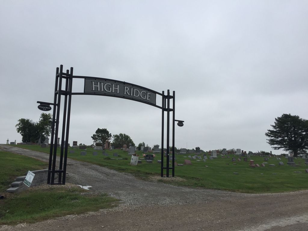
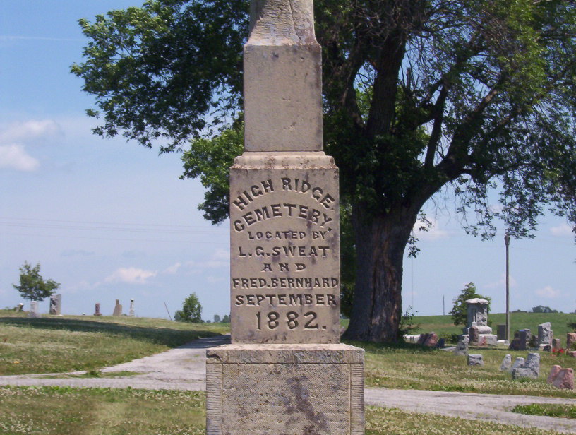
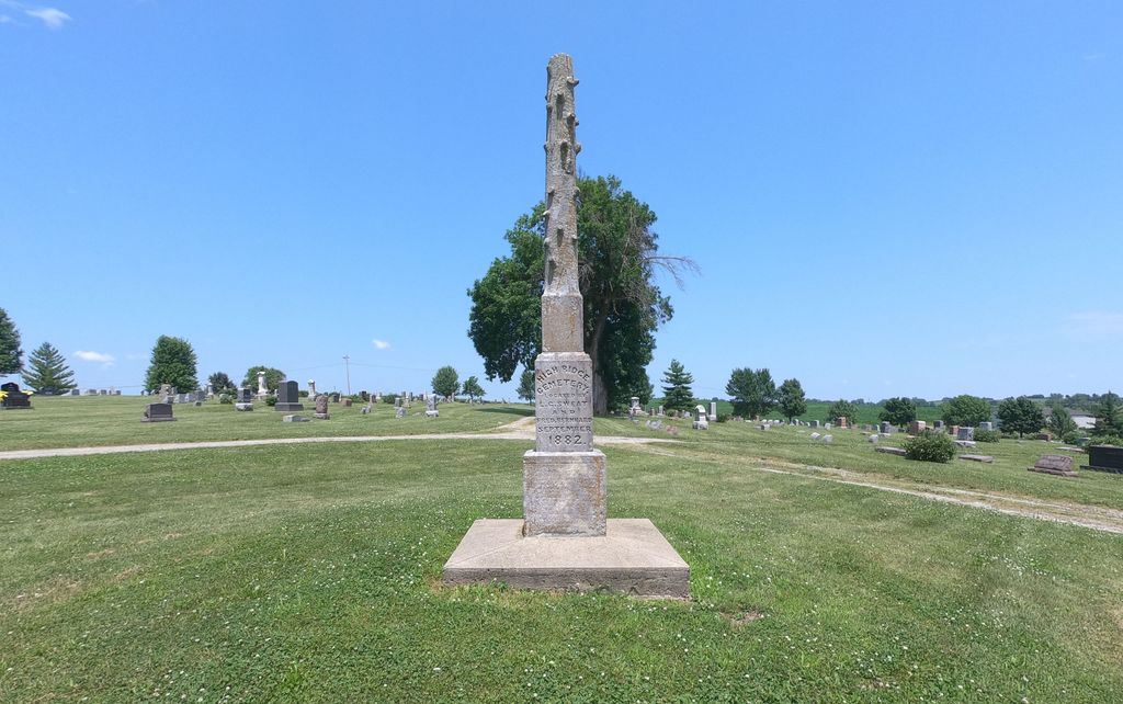
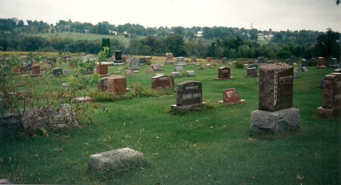
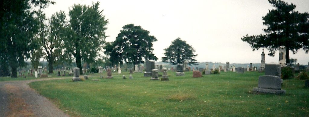
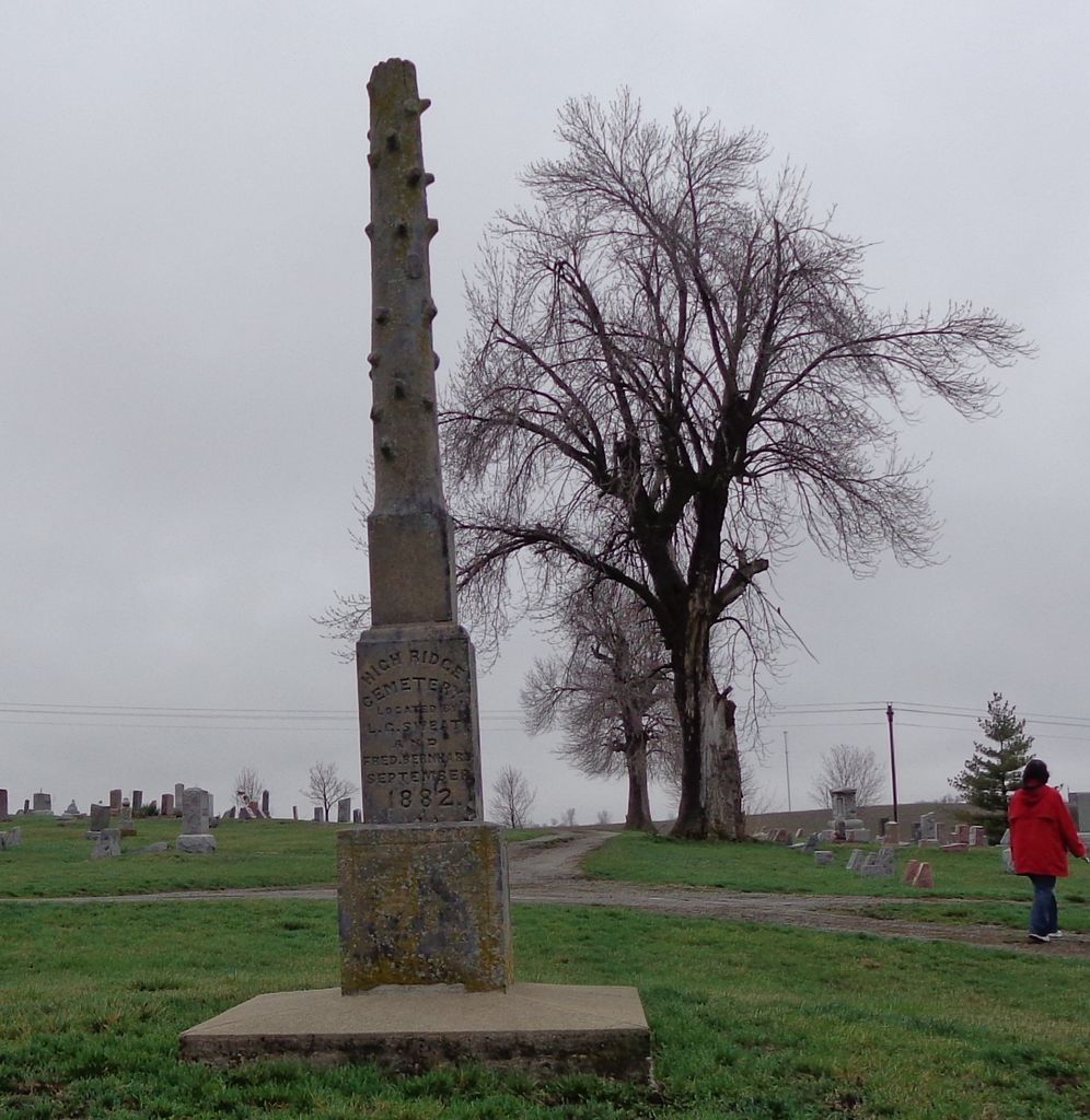
| Memorials | : | 62 |
| Location | : | Stanberry, Gentry County, USA |
| Coordinate | : | 40.2267500, -94.5457500 |
frequently asked questions (FAQ):
-
Where is High Ridge Cemetery?
High Ridge Cemetery is located at Stanberry, Gentry County ,Missouri ,USA.
-
High Ridge Cemetery cemetery's updated grave count on graveviews.com?
52 memorials
-
Where are the coordinates of the High Ridge Cemetery?
Latitude: 40.2267500
Longitude: -94.5457500
Nearby Cemetories:
1. Mount Calvary Cemetery
Stanberry, Gentry County, USA
Coordinate: 40.2273788, -94.5459137
2. Depriest Cemetery
Stanberry, Gentry County, USA
Coordinate: 40.2275200, -94.5146900
3. Hussey Cemetery
Gentry County, USA
Coordinate: 40.2200012, -94.4996567
4. Cooper Cemetery
Stanberry, Gentry County, USA
Coordinate: 40.1885986, -94.5492020
5. Mount Zion Cemetery-West
Cooper Township, Gentry County, USA
Coordinate: 40.1913650, -94.4872610
6. Hall Cemetery
Gentry County, USA
Coordinate: 40.2425003, -94.4717026
7. Liggett Cemetery
Gentry County, USA
Coordinate: 40.2892500, -94.5405900
8. Cranor Cemetery
Ford City, Gentry County, USA
Coordinate: 40.1543999, -94.5083008
9. Long Branch Cemetery
Gentry County, USA
Coordinate: 40.1881100, -94.4499100
10. Meeker Cemetery
Gentry County, USA
Coordinate: 40.1481018, -94.5969009
11. Jennings Cemetery
Alanthus Grove, Gentry County, USA
Coordinate: 40.3174240, -94.5246290
12. Hugginsville Cemetery
Hugginsville, Gentry County, USA
Coordinate: 40.2825203, -94.4491425
13. Carmack Cemetery
Carmack, Gentry County, USA
Coordinate: 40.2441559, -94.4265060
14. Lafayette Cemetery
Guilford, Nodaway County, USA
Coordinate: 40.1478806, -94.6112366
15. Mount Calvary Cemetery
Clyde, Nodaway County, USA
Coordinate: 40.2578468, -94.6635284
16. Dom Lukas Etlin Gravesite
Clyde, Nodaway County, USA
Coordinate: 40.2584100, -94.6668300
17. Saint Patrick Cemetery
Ford City, Gentry County, USA
Coordinate: 40.1481018, -94.4610977
18. Rouse Cemetery
Darlington, Gentry County, USA
Coordinate: 40.2030983, -94.4092026
19. Saint Columba Cemetery
Conception, Nodaway County, USA
Coordinate: 40.2431107, -94.6842957
20. Pleasant Hill Cemetery
Enyart, Gentry County, USA
Coordinate: 40.3343506, -94.5382233
21. Monroe Cemetery
Ravenwood, Nodaway County, USA
Coordinate: 40.3292007, -94.6055984
22. Finders Cemetery
Gentry County, USA
Coordinate: 40.3436012, -94.5616989
23. Greenridge Cemetery
Gentry County, USA
Coordinate: 40.3281200, -94.4529900
24. Hammer Cemetery
King City, Gentry County, USA
Coordinate: 40.1043100, -94.5740100