
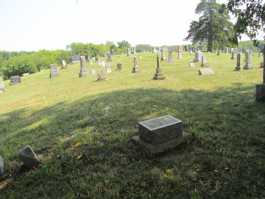
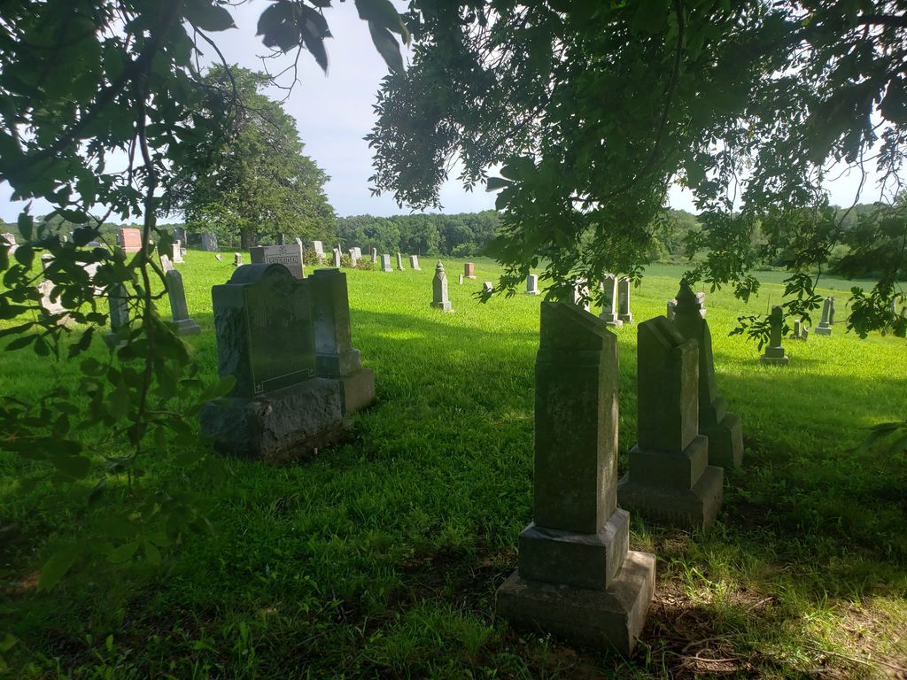
| Memorials | : | 7 |
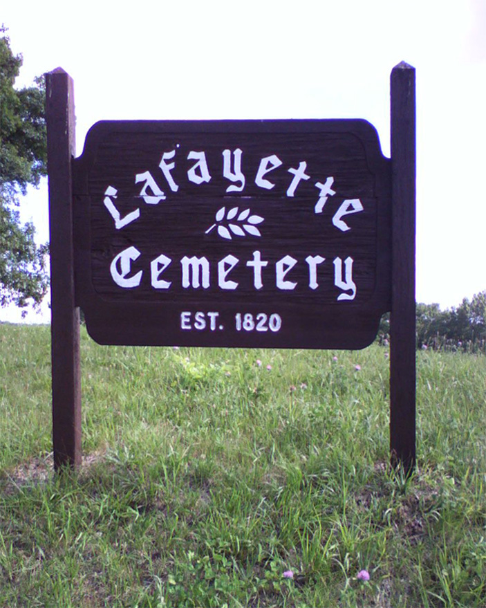
| Location | : | Guilford, Nodaway County, USA |
| Coordinate | : | 40.1478806, -94.6112366 |
frequently asked questions (FAQ):
-
Where is Lafayette Cemetery?
Lafayette Cemetery is located at Guilford, Nodaway County ,Missouri ,USA.
-
Lafayette Cemetery cemetery's updated grave count on graveviews.com?
7 memorials
-
Where are the coordinates of the Lafayette Cemetery?
Latitude: 40.1478806
Longitude: -94.6112366
Nearby Cemetories:
1. Meeker Cemetery
Gentry County, USA
Coordinate: 40.1481018, -94.5969009
2. Mize II Cemetery
Jacksonville, Gentry County, USA
Coordinate: 40.1040700, -94.6061200
3. Hammer Cemetery
King City, Gentry County, USA
Coordinate: 40.1043100, -94.5740100
4. Cooper Cemetery
Stanberry, Gentry County, USA
Coordinate: 40.1885986, -94.5492020
5. Star Chapel United Methodist Cemetery
Empire Prairie, Andrew County, USA
Coordinate: 40.0828094, -94.6399231
6. Cranor Cemetery
Ford City, Gentry County, USA
Coordinate: 40.1543999, -94.5083008
7. Groves Cemetery
Guilford, Nodaway County, USA
Coordinate: 40.1567001, -94.7221985
8. Weathermon Cemetery
Guilford, Nodaway County, USA
Coordinate: 40.1683998, -94.7240829
9. Graves Cemetery
Guilford, Nodaway County, USA
Coordinate: 40.1730995, -94.7276764
10. High Ridge Cemetery
Stanberry, Gentry County, USA
Coordinate: 40.2267500, -94.5457500
11. Mount Calvary Cemetery
Stanberry, Gentry County, USA
Coordinate: 40.2273788, -94.5459137
12. Millen Cemetery
Gentry County, USA
Coordinate: 40.0967900, -94.5019100
13. Empire Cemetery
Empire Prairie, Andrew County, USA
Coordinate: 40.0464592, -94.6395416
14. Mount Zion Cemetery-West
Cooper Township, Gentry County, USA
Coordinate: 40.1913650, -94.4872610
15. Depriest Cemetery
Stanberry, Gentry County, USA
Coordinate: 40.2275200, -94.5146900
16. Saint Columba Cemetery
Conception, Nodaway County, USA
Coordinate: 40.2431107, -94.6842957
17. Hussey Cemetery
Gentry County, USA
Coordinate: 40.2200012, -94.4996567
18. Saint Patrick Cemetery
Ford City, Gentry County, USA
Coordinate: 40.1481018, -94.4610977
19. Mount Calvary Cemetery
Clyde, Nodaway County, USA
Coordinate: 40.2578468, -94.6635284
20. Whitesville Cemetery
Whitesville, Andrew County, USA
Coordinate: 40.0626183, -94.7162094
21. Dom Lukas Etlin Gravesite
Clyde, Nodaway County, USA
Coordinate: 40.2584100, -94.6668300
22. Walnut Grove Methodist Cemetery
Andrew County, USA
Coordinate: 40.0967598, -94.7518311
23. Bashor Cemetery
Flag Springs, Andrew County, USA
Coordinate: 40.0292300, -94.6288900
24. Platte Valley Cemetery
Barnard, Nodaway County, USA
Coordinate: 40.1413994, -94.7692032