
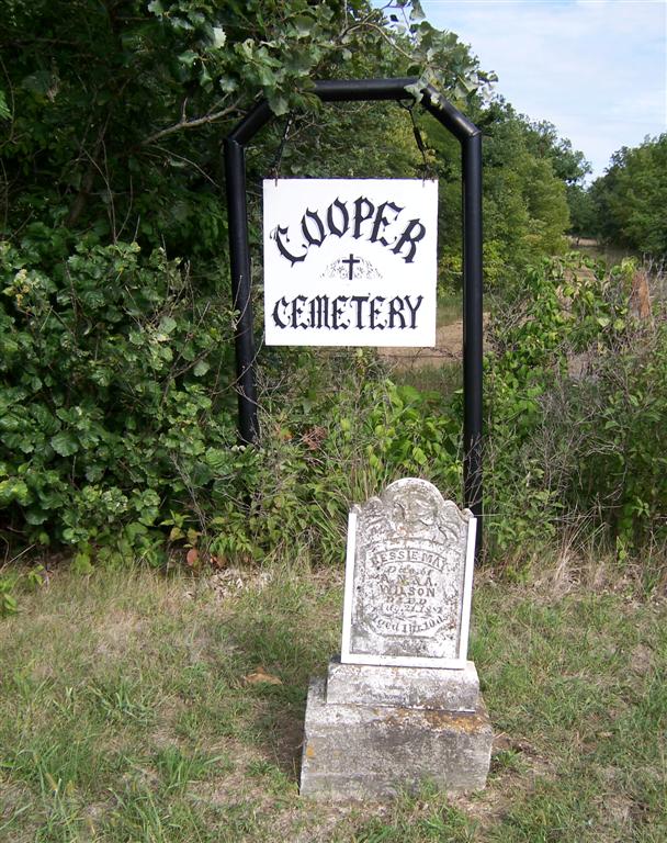
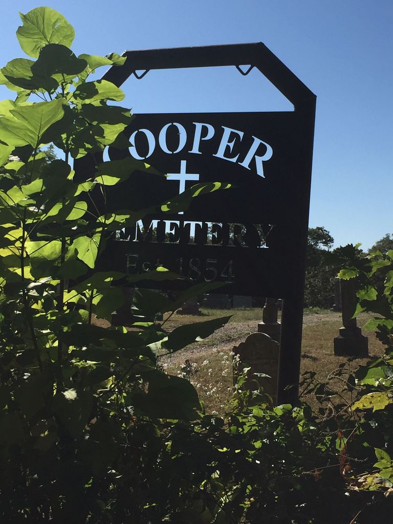
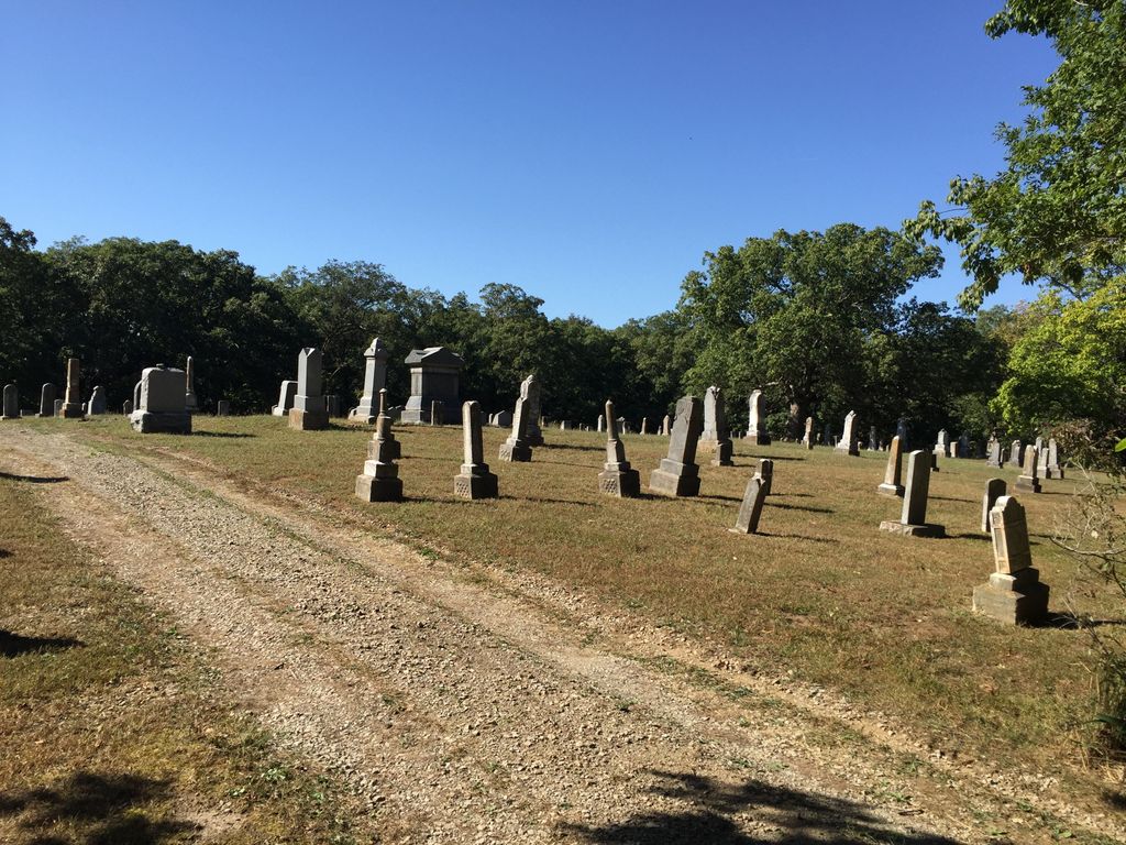
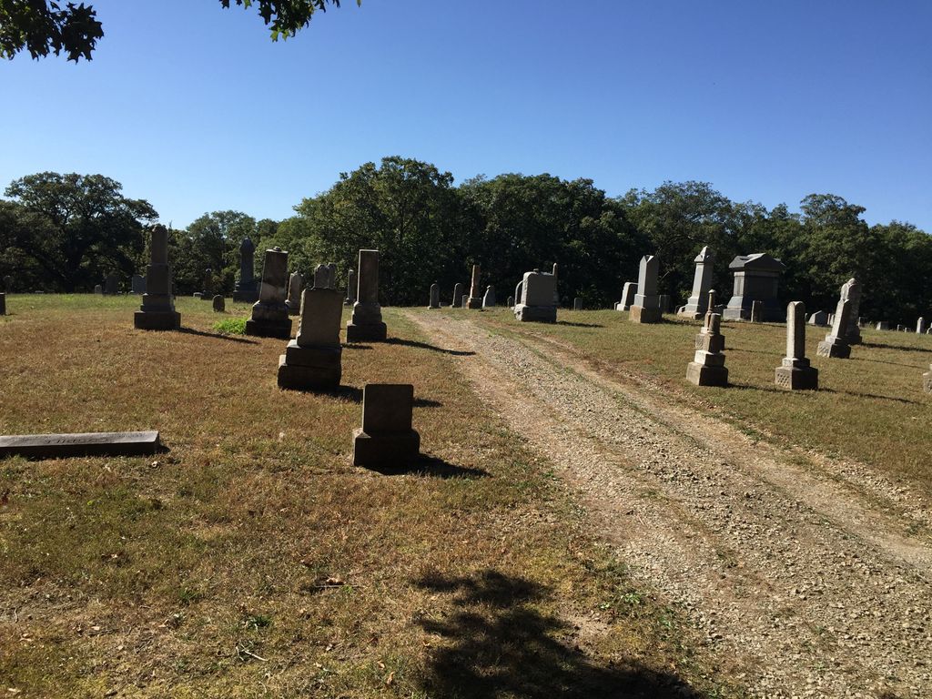
| Memorials | : | 14 |
| Location | : | Stanberry, Gentry County, USA |
| Coordinate | : | 40.1885986, -94.5492020 |
frequently asked questions (FAQ):
-
Where is Cooper Cemetery?
Cooper Cemetery is located at Stanberry, Gentry County ,Missouri ,USA.
-
Cooper Cemetery cemetery's updated grave count on graveviews.com?
13 memorials
-
Where are the coordinates of the Cooper Cemetery?
Latitude: 40.1885986
Longitude: -94.5492020
Nearby Cemetories:
1. High Ridge Cemetery
Stanberry, Gentry County, USA
Coordinate: 40.2267500, -94.5457500
2. Mount Calvary Cemetery
Stanberry, Gentry County, USA
Coordinate: 40.2273788, -94.5459137
3. Cranor Cemetery
Ford City, Gentry County, USA
Coordinate: 40.1543999, -94.5083008
4. Depriest Cemetery
Stanberry, Gentry County, USA
Coordinate: 40.2275200, -94.5146900
5. Mount Zion Cemetery-West
Cooper Township, Gentry County, USA
Coordinate: 40.1913650, -94.4872610
6. Hussey Cemetery
Gentry County, USA
Coordinate: 40.2200012, -94.4996567
7. Meeker Cemetery
Gentry County, USA
Coordinate: 40.1481018, -94.5969009
8. Lafayette Cemetery
Guilford, Nodaway County, USA
Coordinate: 40.1478806, -94.6112366
9. Long Branch Cemetery
Gentry County, USA
Coordinate: 40.1881100, -94.4499100
10. Saint Patrick Cemetery
Ford City, Gentry County, USA
Coordinate: 40.1481018, -94.4610977
11. Hall Cemetery
Gentry County, USA
Coordinate: 40.2425003, -94.4717026
12. Hammer Cemetery
King City, Gentry County, USA
Coordinate: 40.1043100, -94.5740100
13. Mize II Cemetery
Jacksonville, Gentry County, USA
Coordinate: 40.1040700, -94.6061200
14. Millen Cemetery
Gentry County, USA
Coordinate: 40.0967900, -94.5019100
15. Liggett Cemetery
Gentry County, USA
Coordinate: 40.2892500, -94.5405900
16. Ford City Cemetery
Ford City, Gentry County, USA
Coordinate: 40.1114998, -94.4554672
17. Rouse Cemetery
Darlington, Gentry County, USA
Coordinate: 40.2030983, -94.4092026
18. Carmack Cemetery
Carmack, Gentry County, USA
Coordinate: 40.2441559, -94.4265060
19. Mount Calvary Cemetery
Clyde, Nodaway County, USA
Coordinate: 40.2578468, -94.6635284
20. Dom Lukas Etlin Gravesite
Clyde, Nodaway County, USA
Coordinate: 40.2584100, -94.6668300
21. Saint Columba Cemetery
Conception, Nodaway County, USA
Coordinate: 40.2431107, -94.6842957
22. Hugginsville Cemetery
Hugginsville, Gentry County, USA
Coordinate: 40.2825203, -94.4491425
23. Sloan Cemetery
Darlington, Gentry County, USA
Coordinate: 40.1838989, -94.3850021
24. Star Chapel United Methodist Cemetery
Empire Prairie, Andrew County, USA
Coordinate: 40.0828094, -94.6399231