
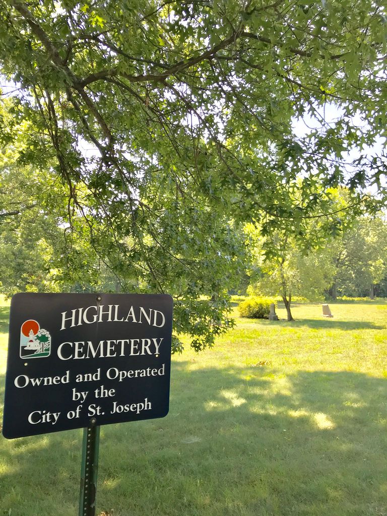
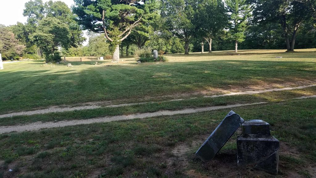
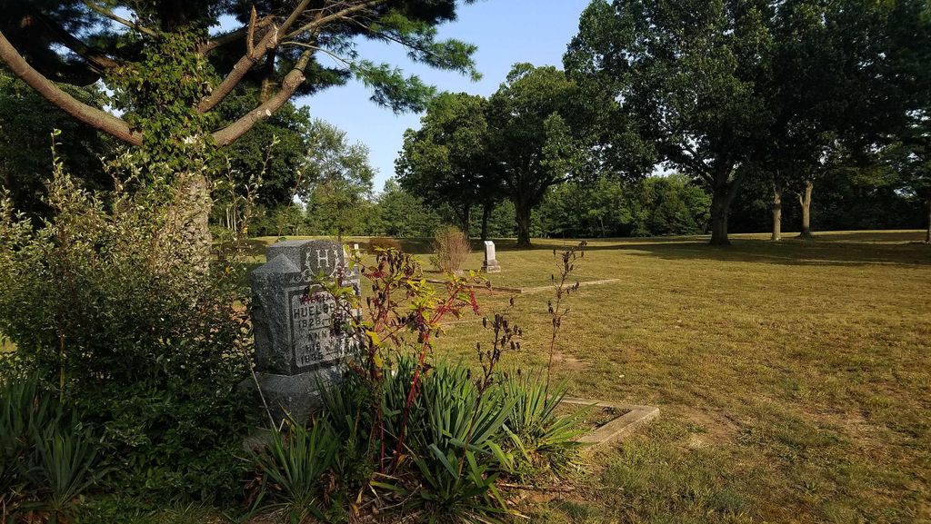
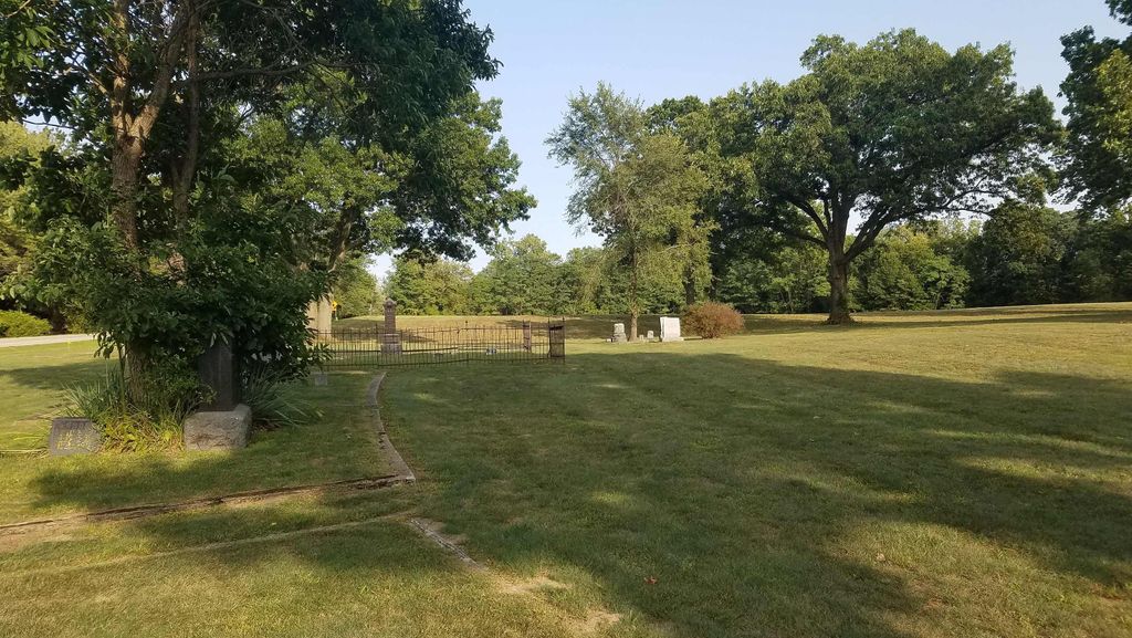
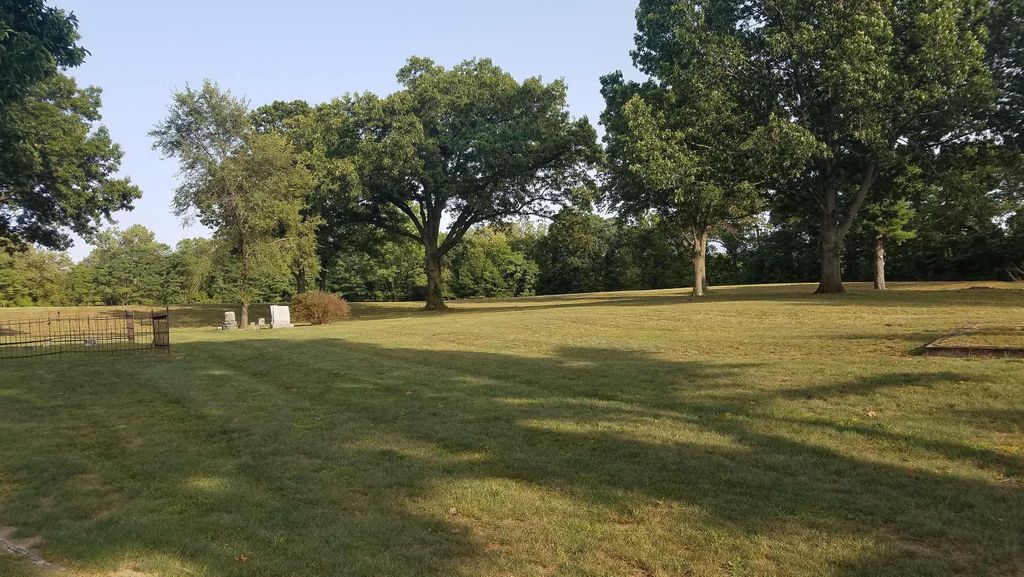
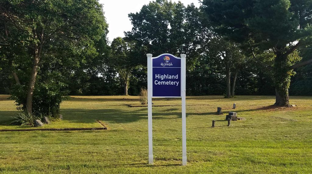
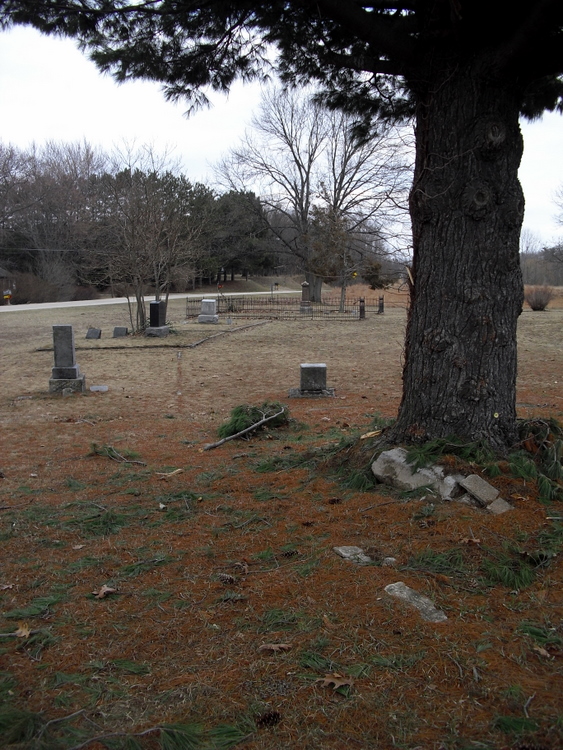
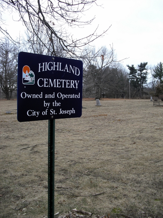
| Memorials | : | 6 |
| Location | : | Saint Joseph, Berrien County, USA |
| Coordinate | : | 42.0650980, -86.4987150 |
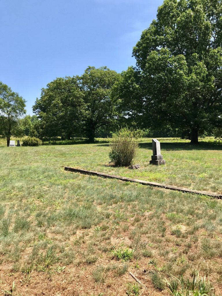
| Description | : | The U.S. Geological Survey (USGS) Geographic Names Information System (GNIS) feature ID for the cemetery is 2374149 (Brown School Cemetery / Highland Cemetery). |
frequently asked questions (FAQ):
-
Where is Highland Cemetery?
Highland Cemetery is located at Brown School Road Saint Joseph, Berrien County ,Michigan , 49085USA.
-
Highland Cemetery cemetery's updated grave count on graveviews.com?
5 memorials
-
Where are the coordinates of the Highland Cemetery?
Latitude: 42.0650980
Longitude: -86.4987150
Nearby Cemetories:
1. Saint Joseph First UMC Memorial Garden
Saint Joseph, Berrien County, USA
Coordinate: 42.0810930, -86.4909620
2. Riverview Cemetery
Saint Joseph, Berrien County, USA
Coordinate: 42.0657997, -86.4657974
3. Hickory Bluff Cemetery
Stevensville, Berrien County, USA
Coordinate: 42.0398670, -86.4952000
4. Saint Joseph City Cemetery
Saint Joseph, Berrien County, USA
Coordinate: 42.0960090, -86.4905980
5. First Congregational Church UCC Memorial Garden
Saint Joseph, Berrien County, USA
Coordinate: 42.0949790, -86.4842940
6. Resurrection Cemetery
Saint Joseph, Berrien County, USA
Coordinate: 42.0975800, -86.4920883
7. Jerome Cemetery
Saint Joseph, Berrien County, USA
Coordinate: 42.0302699, -86.4758279
8. Lincoln Charter Township Cemetery
Stevensville, Berrien County, USA
Coordinate: 42.0271490, -86.5139110
9. Spring Run Cemetery
Scottdale, Berrien County, USA
Coordinate: 42.0407600, -86.4348526
10. Calvary Cemetery
Benton Harbor, Berrien County, USA
Coordinate: 42.0901820, -86.4196160
11. Temple Beth El Memorial Park
Berrien County, USA
Coordinate: 42.0908660, -86.4154530
12. B'nai Sholom Cemetery
Fair Plain, Berrien County, USA
Coordinate: 42.0938988, -86.4163971
13. Crystal Springs Cemetery
Benton Harbor, Berrien County, USA
Coordinate: 42.0918999, -86.4150009
14. Morton Hill Cemetery
Benton Harbor, Berrien County, USA
Coordinate: 42.1194000, -86.4417038
15. Bethel Cemetery
Sodus, Berrien County, USA
Coordinate: 42.0652770, -86.4013880
16. Royalton Cemetery
Saint Joseph, Berrien County, USA
Coordinate: 42.0094365, -86.4249946
17. Ruggles Cemetery
Baroda, Berrien County, USA
Coordinate: 41.9644012, -86.4906006
18. Pearl Cemetery
Benton Township, Berrien County, USA
Coordinate: 42.0905991, -86.3641968
19. Feather Cemetery
Hinchman, Berrien County, USA
Coordinate: 41.9720955, -86.4356689
20. Graceland Cemetery
Bridgman, Berrien County, USA
Coordinate: 41.9636002, -86.5503006
21. Salem Cemetery
Oronoko Township, Berrien County, USA
Coordinate: 41.9644012, -86.4278030
22. Mount Pleasant Cemetery
Sodus Township, Berrien County, USA
Coordinate: 42.0194016, -86.3581009
23. Lake Shore Cemetery
Riverside, Berrien County, USA
Coordinate: 42.1669388, -86.4177780
24. Greenwood Cemetery
Bridgman, Berrien County, USA
Coordinate: 41.9491997, -86.5541992